|
|
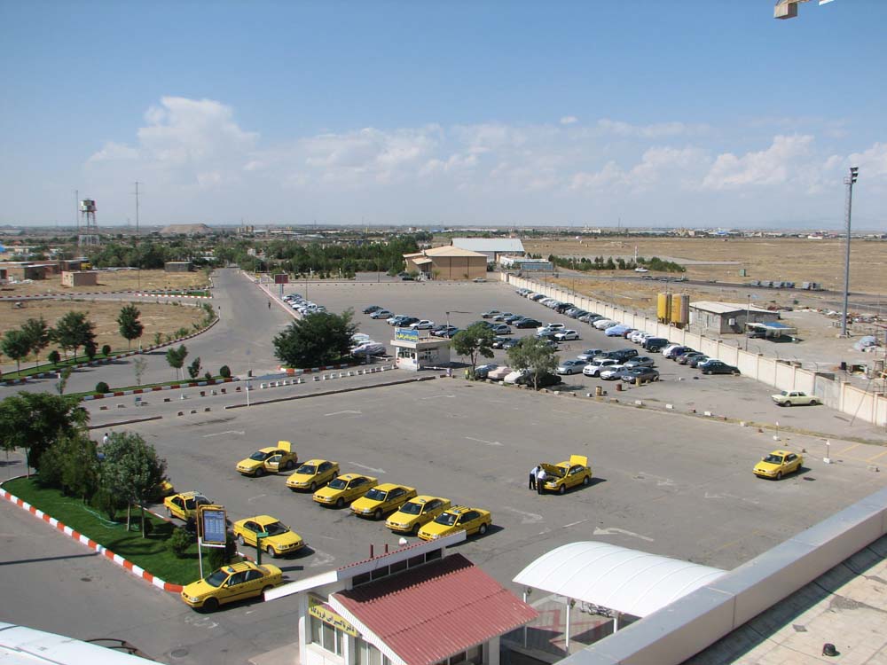
| Tabriz International Airport |
 |
| IATA: TBZ – ICAO: OITT |
| Summary |
| Airport type |
Joint (Civil and Military) |
| Location |
Tabriz, Iran |
| Elevation AMSL |
4,459 ft / 1,359 m |
| Coordinates |
38°08′02″N 46°14′06″E / 38.13389°N 46.235°E / 38.13389; 46.235Coordinates: 38°08′02″N 46°14′06″E / 38.13389°N 46.235°E / 38.13389; 46.235 |
| Runways |
| Direction |
Length |
Surface |
| ft |
m |
| 03/21 |
11,537 |
3,468 |
Aspalt |
| 12L/30R |
11,825 |
3,556 |
Asphalt |
Tabriz International Airport (Persian: فرودگاه بین المللی تبریز) is an airport that serves Tabriz, Iran. It is the primary airport of Tabriz. It also serves as a military for IRIAF as second fighter base of IRIAF. Airlines and destinations
| Airlines |
Destinations |
| Ata Airline |
Mashhad, Tehran-Mehrabad |
| Bulgaria Air |
Varna |
| Caspian Airlines |
Damascus, Dubai, Mashhad, Tehran-Mehrabad |
| Iran Air |
Ahwaz, Bandar Abbas, Isfahan, Istanbul-Atatürk, Tehran-Mehrabad |
| Iran Air Tours |
Mashhad, Tehran-Mehrabad |
| Iran Aseman Airlines |
Shiraz, Tehran-Mehrabad |
| Naft Airlines |
Mahshahr, Tehran-Mehrabad |
| Kish Air |
Asalouyeh, Damascus, Dubai, Istanbul-Sabiha Gökçen, Kish, Mashhad, Tehran-Mehrabad |
| Turkish Airlines |
Istanbul-Atatürk, Izmir |
Accidents and incidents
On 25 August 2010, Iran Aseman Airlines Flight 773, operated by a Fokker 100, overran the runway on landing. The aircraft was substantially damaged.
The above content comes from Wikipedia and is published under free licenses – click here to read more.
| General Info
|
| Country |
Iran
|
| ICAO ID |
OITT
|
| Time |
UTC+3:30
|
| Latitude |
38.133889
38° 08' 02.00" N
|
| Longitude |
46.235000
046° 14' 06.00" E
|
| Elevation |
4459 feet
1359 meters
|
| Type |
Joint (Civil and Military)
|
| Magnetic Variation |
004° E (01/06)
|
| Beacon |
Yes
|
| Operating Agency |
MILITARY - CIVIL JOINT USE AIRPORT
|
| Operating Hours |
24 HOUR OPERATIONS
|
| Communications
|
| TWR |
124.1
121.7
121.9
257.8
|
INFO
Opr 0300-2100Z.
|
127.0
|
| APP |
122.5
263.6
358.0
|
| Runways
|
| ID |
Dimensions |
Surface |
PCN |
ILS
|
12R/30L
CLOSED |
11537 x 98 feet
3516 x 30 meters |
ASPHALT |
060FCXT |
NO
|
| 12L/30R |
11825 x 148 feet
3604 x 45 meters |
ASPHALT |
070FDXT |
YES
|
| Navaids
|
| Type |
ID |
Name |
Channel |
Freq |
Distance From Field |
Bearing From Navaid
|
| VORTAC |
TBZ |
TABRIZ |
057X |
112 |
At Field |
-
|
| NDB |
TBZ |
TABRIZ |
- |
300 |
At Field |
-
|
| Supplies/Equipment
|
| Fuel |
JP-4, Wide cut turbine fuel MIL Spec T-5624
Jet A1, without icing nhibitor.
100/130 MIL Spec, low lead, aviation gasoline (BLUE)
|
| Remarks
|
| A-GEAR |
Rwy 12L-30R Barrier webbing raised, 10.5' hi.
|
| CAUTION |
Animal and bird haz.
|
| FUEL |
Opr 0230-1830Z OT PPR. (NC-100LL, A1)
|
| TFC PAT |
Tfc pat alt ftr acft 6000', civ jet acft 6500', other acft 5500'.
|
The content above was published at Airports-Worldwide.com in 2010.
We don't guarantee the information is fresh and accurate. The data may be wrong or outdated.
For more up-to-date information please refer to other sources.
|
|