|
|
Birjand International Airport
فرودگاه بین المللی بیرجند |
| IATA: XBJ – ICAO: OIMB |
| Summary |
| Airport type |
Public |
| Location |
Birjand |
| Elevation AMSL |
4,952 ft / 1,509 m |
| Coordinates |
32°53′53″N 59°15′58″E / 32.89806°N 59.26611°E / 32.89806; 59.26611Coordinates: 32°53′53″N 59°15′58″E / 32.89806°N 59.26611°E / 32.89806; 59.26611 |
| Runways |
| Direction |
Length |
Surface |
| ft |
m |
| 08/26 |
7,093 |
2,162 |
Asphalt |
| 10/28 |
13,123 |
4,000 |
Asphalt |
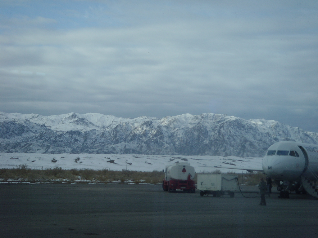
IranAir flight at Birjand airport  |
IranAir flight at Birjand airport
This file is a candidate for speedy deletion. It may be deleted after seven days from the date of nomination. |
 |
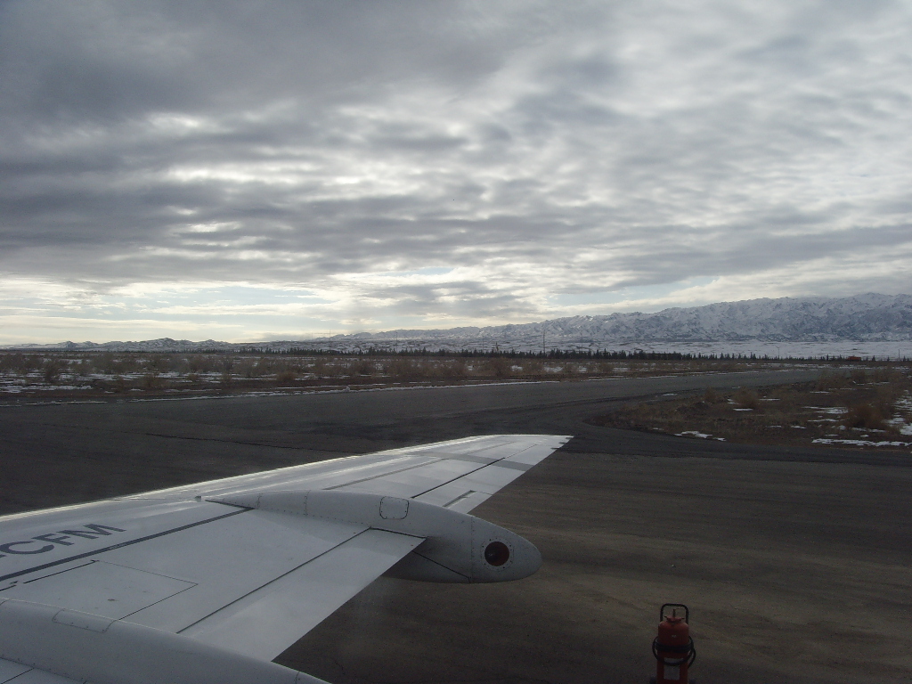
Birjand airport
This file is a candidate for speedy deletion. It may be deleted after seven days from the date of nomination. |
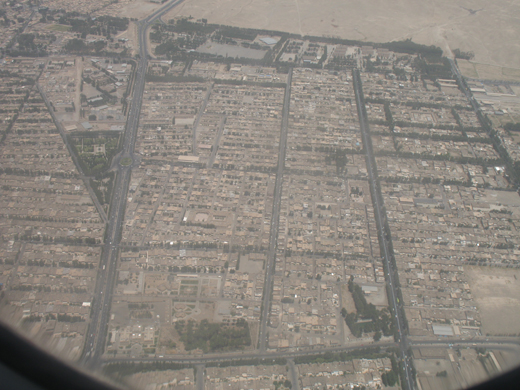 | |
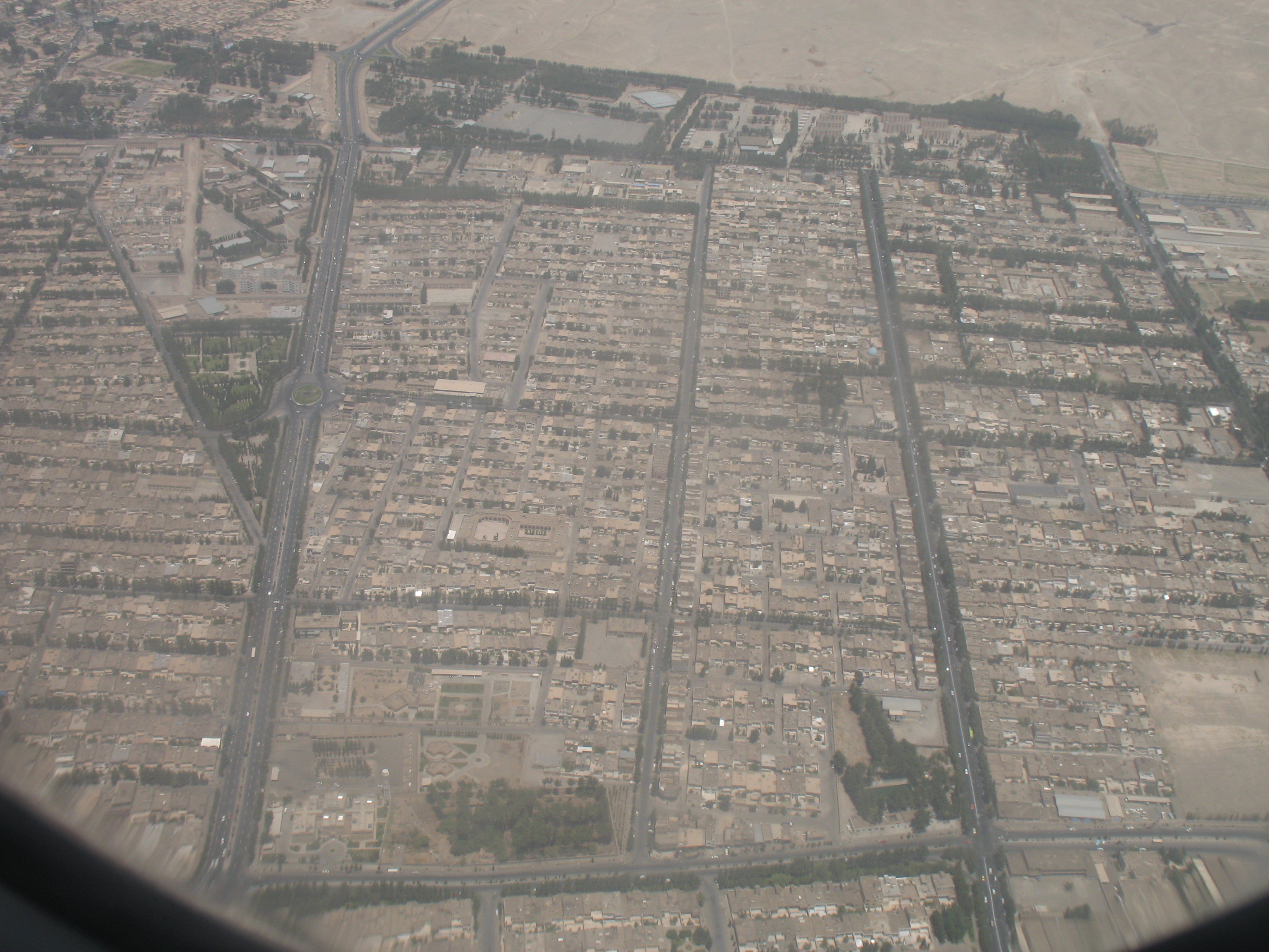
Aerial view of Birjand, a few minutes before arriving at Birjand Airport |
Birjand Airport (IATA: XBJ, ICAO: OIMB) is a small airport near Birjand, Iran. Due to the geopolitical eminence of Birjand in the eastern parts of Iran, Birjand airport started operation in 1933 as the 3rd operational airport in Iran. Birjand airport offers non-stop daily flights to Tehran and Mashhad.
Birjand airport was established in 1933 but there were only flights for very small airplanes. There was no any passenger terminals till 1354 Hejri-Shamsi (1975). The first passenger terminal was established in 1355 Hejri-Shamsi and flights from Mashhad and Tehran to Birjand were opened in 1355 Hejri-Shamsi by Pars-Air (Aseman) and Iran-air agencies. This terminal still is the only terminal for passengers. The chef executive of the airport was Mr Dehghan between 1342-1362,he did hard working to build the airport. During his era the airport expanded and in addition of the passenger airport also other buildings including police station, cargo terminal, weather forecast station, the main office of the airport and the tower flight control were built. The main runway still is used for flights.
Flights
| Airlines |
Destinations |
Aircraft Type |
| Iran Air |
Tehran, Mashhad |
Fokker100 |
| Iran Aseman Airlines |
Tehran |
Fokker100 - ATR |
| Taban Air |
Damascus |
MD-82 |
Airlines previously operated a flight to Birjand
| Airlines |
Destinations |
Aircraft Type |
| Mahan Air |
Tehran |
Airbus A320 |
| Kish Air |
Tehran |
Fokker100 |
| Taban Air |
Tehran |
BAe 146-300 |
History
Runway 10/28 Repair (September 2010)
Another phase of repair started in September 2010.
First Flight to Syria (August 2010)
Taban airlines operated the first no-stop flight between Birjand and Damascus.
Runway 10/28 Repair (October 2009)
In October 2009, runway 10/28 was closed for fundamental repair. The runway was strengthened, re-carpeted and extended to 4000 meters to accommodate wide-body aircrafts. During the construction phase all flights were suspended while Aseman Airline utilized the older runway (08/26) and started daily flights to Tehran.
First International Flight (June 2008)
Birjand airport became an international airport after the first international flight to Medina, KSA in June 2008.
Airport Location
Airport location
- Airport information for OIMB at World Aero Data. Data current as of October 2006.
|