|
 |
|
||||
|
Used by RAF until 1949. Now GAF. Airfield Military GAF (Bundeswehr Luftwaffe)
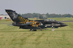
Images and information placed above are from http://www.fencecheck.com/forums/index.php?topic=582.0 We thank them for the data!
Runway 05/238003 x 98 feet
|
|||||||||||||||||||||||||||||||||||||||||||||||||||||||||||||||||||||||||||||||||||||||||||||||||||||||||||||||||||||||||||||||||||||||||||||||||||||||||||||||||||||||||||||||||||||||||||||||||||||||||||||||
| Runway 05 | |
|---|---|
| Surface | ASPHALT |
| True Heading | 047.0 |
| Latitude | 54.452000 54° 27' 07.20" N |
| Longitude | 9.502500 009° 30' 09.00" E |
| Elevation | 64.0 feet 20 meters |
| Slope | 0.0° |
| Landing Distance | 8003 feet 2439 meters |
| Takeoff Distance | 9020 feet 2749 meters |
| Overrun Length | 1017 feet 310 meters |
| Overrun Surface | CONCRETE. |
| Lighting System | SF
HIRL J PAPI |
| Runway 23 | |
|---|---|
| Surface | ASPHALT |
| True Heading | 227.0 |
| Latitude | 54.466667 54° 28' 00.00" N |
| Longitude | 9.530333 009° 31' 49.20" E |
| Elevation | 64.0 feet 20 meters |
| Slope | 0.0° |
| Landing Distance | 8003 feet 2439 meters |
| Takeoff Distance | 9092 feet 2771 meters |
| Overrun Length | 1089 feet 332 meters |
| Overrun Surface | CONCRETE. |
| Lighting System | SF
HIRL J PAPI |
| SCHLESWIG | |||||
|---|---|---|---|---|---|
| Type | ID | Channel | Freq | Country | State |
| TACAN | SWG | 055X | - | Germany | - |
| Latitude | Longitude | Airport |
| 54.453833 54° 27' 13.80" N |
9.501500 009° 30' 05.40" E |
ETNS |
The content above was published at Airports-Worldwide.com in 2005.
We don't guarantee the information is fresh and accurate. The data may be wrong or outdated.
For more up-to-date information please refer to other sources.

 |
|
Copyright 2004-2026 © by Airports-Worldwide.com, Vyshenskoho st. 36, Lviv 79010, Ukraine Legal Disclaimer |