|
|
| Ndola Airport |

IATA: NLA – ICAO: FLND |
| Summary |
| Airport type |
Public |
| Location |
Ndola |
| Elevation AMSL |
4,167 ft / 1250 m |
| Coordinates |
12°59′53″S 28°39′54″E / 12.99806°S 28.665°E / -12.99806; 28.665Coordinates: 12°59′53″S 28°39′54″E / 12.99806°S 28.665°E / -12.99806; 28.665 |
| Runways |
| Direction |
Length |
Surface |
| ft |
m |
| 10L/28R |
8,250 |
2,475 |
Concrete |
| 10R/28L |
4,000 |
1,200 |
Concrete |
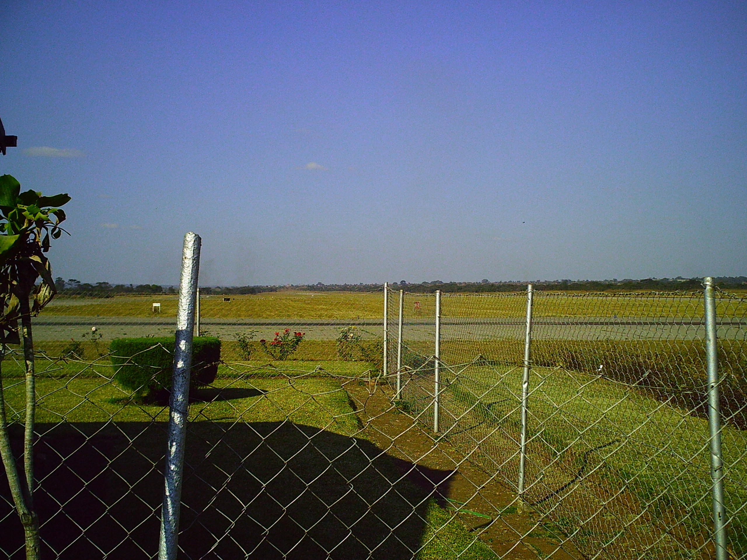
Ndola Airport ( IATA : NLA , ICAO : FLND ) is an airport located in Copperbelt Province in northern Zambia , in the city of Ndola , near the International border with the Democratic Republic of the Congo .
This location lies approximately 272 kilometres (169 mi), by air, north of Lusaka International Airport , the largest airport in Zambia .
This airport is situated 1,270 metres (4,170 ft) above sea level. It has two parallel concrete runways, one measuring 1,219.2 metres (4,000 ft) and the other measuring 2,514.6 metres (8,250 ft) in length.
Overview
Ndola Airport is an airport that serves the city of Ndola and surrounding cities on the copperbelt. It handles domestic and international flights for both passengers and cargo. Airlines and destinations
 | |
Ndola Airport |
| Airlines |
Destinations |
| Kenya Airways |
Nairobi |
| Proflight Commuter Services |
Lusaka, Solwezi |
| South African Airways operated by Airlink |
Johannesburg |
| Zambezi Airlines |
Lusaka |
| Kulula.com |
Johannesburg |
| Interair South Africa |
Johannesburg |
The above content comes from Wikipedia and is published under free licenses – click here to read more.
| General Info
|
| Country |
Zambia
|
| ICAO ID |
FLND
|
| Time |
UTC+2
|
| Latitude |
-12.998139
12° 59' 53.30" S
|
| Longitude |
28.664944
028° 39' 53.80" E
|
| Elevation |
4167 feet
1270 meters
|
| Type |
Civil
|
| Magnetic Variation |
004° W (01/06)
|
| Operating Agency |
CIVIL GOVERNMENT, (LANDING FEES AND DIPLOMATIC CLEARANCE MAY BE REQUIRED)
|
| Operating Hours |
SEE REMARKS FOR OPERATING HOURS OR COMMUNICATIONS FOR POSSIBLE HOURS
|
| International Clearance Status |
Airport of Entry
|
| Communications
|
| TWR |
118.3
|
| APP |
119.7
|
| Runways
|
| ID |
Dimensions |
Surface |
PCN |
ILS
|
| 10R/28L |
4000 x 75 feet
1219 x 23 meters |
CONCRETE. |
050RBXU |
NO
|
| 10L/28R |
8250 x 150 feet
2515 x 46 meters |
CONCRETE. |
050RBXU |
NO
|
| Navaids
|
| Type |
ID |
Name |
Channel |
Freq |
Distance From Field |
Bearing From Navaid
|
| VOR-DME |
VND |
NDOLA |
058X |
112.1 |
At Field |
-
|
| NDB |
NW |
NDOLA |
- |
240 |
4.6 NM |
092.4
|
| Supplies/Equipment
|
| Fuel |
Jet A1, without icing nhibitor.
100/130 MIL Spec, low lead, aviation gasoline (BLUE)
|
| Remarks
|
| CAUTION |
Blasting to 6000' AGL, 1500' rad 1000-1015Z and 1430-1445Z Mon-Sat 7 NM SW.
|
| FUEL |
0500-1900Z, OT 48 hr PN. (NC-100LL, A1)
|
| OPR HOURS |
Opr 0400-1800Z OT O/R.
|
| RSTD |
NORDO proh.
|
The content above was published at Airports-Worldwide.com in 2014.
We don't guarantee the information is fresh and accurate. The data may be wrong or outdated.
For more up-to-date information please refer to other sources.
|
|