|
|
| Lusaka International Airport |
 |
| Lusaka International airport |
IATA: LUN – ICAO: FLLS |
| Summary |
| Airport type |
Military/Public |
| Owner |
Remy Masemo Peter |
| Operator |
Zambian Defence Force |
| Serves |
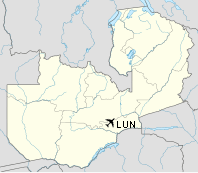
Lusaka, Zambia |
| Location |
Lusaka |
| Elevation AMSL |
3,779 ft / 1,152 m |
| Coordinates |
15°19′50″S 28°27′09″E / 15.33056°S 28.4525°E / -15.33056; 28.4525Coordinates: 15°19′50″S 28°27′09″E / 15.33056°S 28.4525°E / -15.33056; 28.4525 |
| Website |
http://www.lun.aero |
| Runways |
| Direction |
Length |
Surface |
| ft |
m |
| 10/28 |
12,998 |
3,692 |
Asphalt |
| 15/33 |
2,700 |
823 |
Grass |
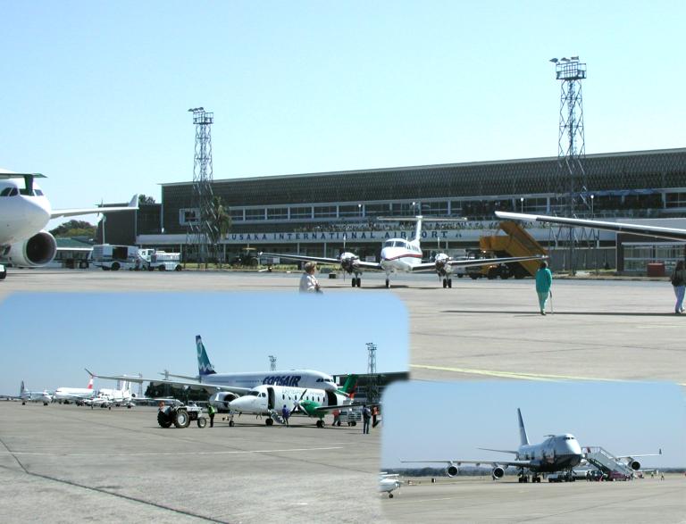
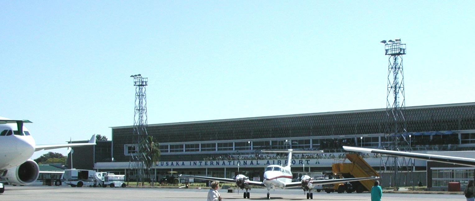
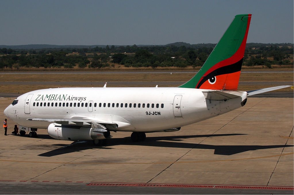
Lusaka International Airport (IATA: LUN, ICAO: FLLS) is an international airport in Lusaka, Zambia, and was the hub of Zambian Airways.

Lusaka International Airport 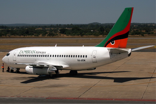
Lusaka International Airport - Zambian Airways Boeing 737-200
Facilities
The airport has a bank with bureau de change, a post office, restaurant, bar, duty-free shop, chemist, newsagent and a VIP lounge. A tourist help desk and travel agent can also be found in the airport terminal building, as well as a business center.
Transfer to the city
There is an airport bus service, and taxis are available. Most major car hire companies are represented at the airport terminal. Cars are usually hired with a chauffeur.
Airlines and destinations
| Airlines |
Destinations |
| Air Botswana |
Gaborone |
| Air Malawi |
Blantyre, Lilongwe |
| Air Namibia |
Windhoek, Johannesburg |
| Air Zimbabwe |
Harare, Lubumbashi |
| Airlink |
Johannesburg |
| British Airways |
London-Heathrow |
| EgyptAir |
Cairo [begins 16 January] |
| Ethiopian Airlines |
Addis Ababa, Lilongwe, Harare |
| Kenya Airways |
Lilongwe, Nairobi |
| Proflight Commuter Services |
Chipata, Livingstone, Mfuwe, Ndola |
| RwandAir |
Kigali, Johannesburg |
| South African Airways |
Johannesburg |
| TAAG Angola Airlines |
Luanda |
| Zambezi Airlines |
Dar es Salaam, Johannesburg, Lilongwe, Ndola |
The above content comes from Wikipedia and is published under free licenses – click here to read more.
| General Info
|
| Country |
Zambia
|
| ICAO ID |
FLLS
|
| Time |
UTC+2
|
| Latitude |
-15.330817
15° 19' 50.94" S
|
| Longitude |
28.452628
028° 27' 09.46" E
|
| Elevation |
3779 feet
1152 meters
|
| Type |
Joint (Civil and Military)
|
| Magnetic Variation |
006° W (01/06)
|
| Operating Agency |
MILITARY - CIVIL JOINT USE AIRPORT
|
| Operating Hours |
SEE REMARKS FOR OPERATING HOURS OR COMMUNICATIONS FOR POSSIBLE HOURS
|
| International Clearance Status |
Airport of Entry
|
| Communications
|
| TWR |
118.1
|
| APP |
121.3
|
| Runways
|
| ID |
Dimensions |
Surface |
PCN |
ILS
|
| 10/28 |
12998 x 150 feet
3962 x 46 meters |
ASPHALT |
059FBXU |
YES
|
| 15/33 |
2700 x 100 feet
823 x 30 meters |
GRASS OR EARTH NOT GRADED OR ROLLED. |
- |
NO
|
| Navaids
|
| Type |
ID |
Name |
Channel |
Freq |
Distance From Field |
Bearing From Navaid
|
| VOR-DME |
VLS |
LUSAKA |
082X |
113.5 |
1.9 NM |
097.5
|
| NDB |
LW |
LUSAKA |
- |
386 |
4.8 NM |
096.5
|
| Supplies/Equipment
|
| Fuel |
Jet A1, without icing nhibitor.
100/130 MIL Spec, low lead, aviation gasoline (BLUE)
|
| Remarks
|
| FUEL |
A1 (Mobil Oil, Fone C260-1-271-085) (NC-80,100)
|
| MISC |
Wx avbl.
|
| OPR HOURS |
Opr 0400-2200Z OT O/R.
|
| RSTD |
NORDO proh.
|
The content above was published at Airports-Worldwide.com in 2010.
We don't guarantee the information is fresh and accurate. The data may be wrong or outdated.
For more up-to-date information please refer to other sources.
|
|