Phu Cat Airport
Sân bay Phù Cát |
 |
| IATA: UIH – ICAO: VVPC |
| Summary |
| Airport type |
Public/Military |
| Operator |
Middle Airport Authority |
| Location |
Qui Nhon |
| Elevation AMSL |
80 ft / 24 m |
| Coordinates |
13°57′18″N 109°02′32″E / 13.955°N 109.04222°E / 13.955; 109.04222Coordinates: 13°57′18″N 109°02′32″E / 13.955°N 109.04222°E / 13.955; 109.04222 |
| Runways |
| Direction |
Length |
Surface |
| ft |
m |
| 15/33 |
10,010 |
3,051 |
Concrete |
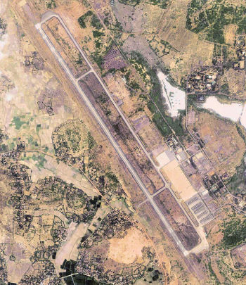
Terminal at Phu Cat Airport  | |
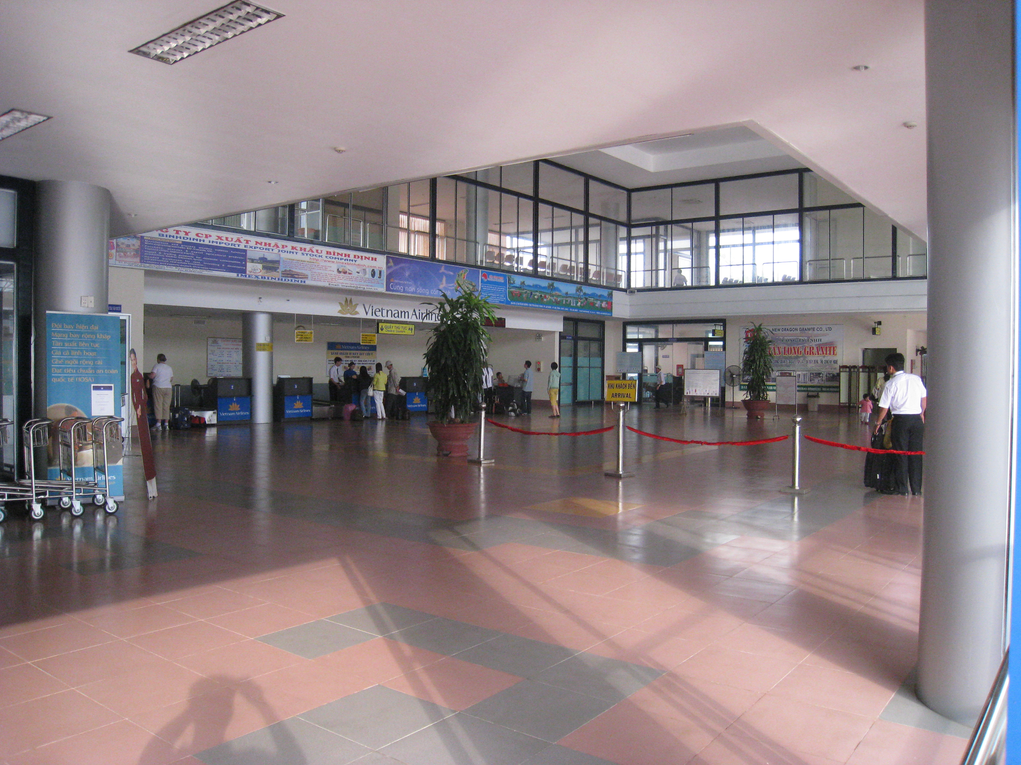
Interior of passenger terminal at Phu Cat Airport |
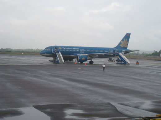 | |
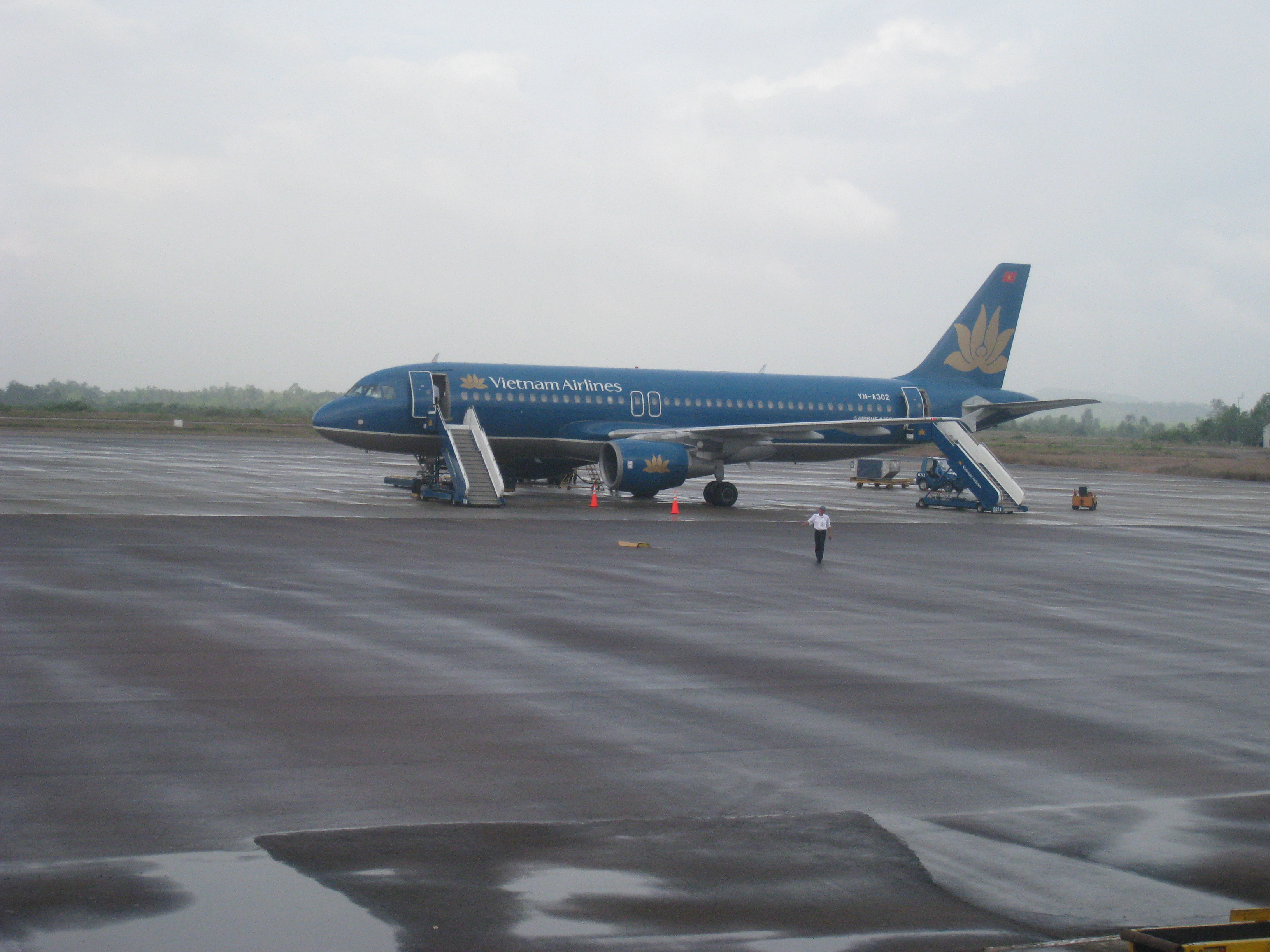
An Airbus A320 in Vietnam Airlines at Phu Cat Airport |
- For the Vietnam War military use of this facility, see Phu Cat Air Base
Phu Cat Airport (IATA: UIH, ICAO: VVPC) (Vietnamese: Sân bay Phù Cát) is located in Qui Nhon, Vietnam. It is located just northwest of Qui Nhon within Binh Dinh Province along the central coast of Southern Vietnam.
As well as being a commercial airport, Phu Cat is also used by the Vietnamese Air Force (Khong Quan Nhan Dan Viet Nam). Current commercial airline services
| Airlines |
Destinations |
| Vietnam Airlines |
Hanoi, Ho Chi Minh City |
History
Phù Cát Airport was built in 1966 during the Vietnam War by the United States Air Force (USAF). During the war, it was a major air base for the South Vietnamese Air Force and USAF. After 1975, it was used as a military airfield for the Vietnamese Air Force (Khong Quan Nhan Dan Viet Nam), and developed into a regional civil airport.
The above content comes from Wikipedia and is published under free licenses – click here to read more.
| General Info
|
| Country |
Vietnam
|
| ICAO ID |
VVPC
|
| Latitude |
13.954986
13° 57' 17.95" N
|
| Longitude |
109.042267
109° 02' 32.16" E
|
| Elevation |
80 feet
24 meters
|
| Magnetic Variation |
000° W (01/06)
|
| Operating Agency |
MILITARY - CIVIL JOINT USE AIRPORT
|
| Runways
|
| ID |
Dimensions |
Surface |
PCN |
ILS
|
| 15/33 |
10010 x 148 feet
3051 x 45 meters |
CONCRETE. |
- |
NO
|
| Navaids
|
| Type |
ID |
Name |
Channel |
Freq |
Distance From Field |
Bearing From Navaid
|
| VOR-DME |
PCA |
PHUCAT |
110X |
116.3 |
At Field |
-
|
| NDB |
PC |
PHUCAT |
- |
250 |
6.5 NM |
325.7
|
The content above was published at Airports-Worldwide.com in 2010.
We don't guarantee the information is fresh and accurate. The data may be wrong or outdated.
For more up-to-date information please refer to other sources.
|