 |
|
Location & QuickFacts
| FAA Information Effective: | 2008-09-25 |
| Airport Identifier: | WY42 |
| Airport Status: | Operational |
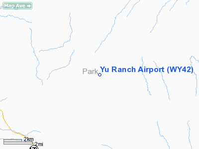
| Longitude/Latitude: | 108-44-12.4600W/44-18-26.8400N
-108.736794/44.307456 (Estimated) |
| Elevation: | 5170 ft / 1575.82 m (Estimated) |
| Land: | 13 acres |
| From nearest city: | 11 nautical miles NE of Meeteetse, WY |
| Location: | Park County, WY |
| Magnetic Variation: | 14E (1995) |
Owner & Manager
| Ownership: | Privately owned |
| Owner: | Yu Land & Cattle Llc |
| Address: | 742 Road 3le
Meeteetse, WY 82433 |
| Phone number: | 307-868-2237 |
| Manager: | Daniel Ochsner |
| Address: | 742 Road 3le
Meeteetse, WY 82433 |
| Phone number: | 307-868-2237 |
Airport Operations and Facilities
| Airport Use: | Private |
| Wind indicator: | Yes |
| Segmented Circle: | No |
| Control Tower: | No |
| Sectional chart: | Cheyenne |
| Region: | ANM - Northwest Mountain |
| Boundary ARTCC: | ZLC - Salt Lake City |
| Tie-in FSS: | CPR - Casper |
| FSS Toll Free: | 1-800-WX-BRIEF |
Runway Information
Runway 02/20
| Dimension: | 5000 x 80 ft / 1524.0 x 24.4 m |
| Surface: | TURF, Good Condition |
| |
Runway 02 |
Runway 20 |
| Traffic Pattern: | Left | Left |
|
Radio Navigation Aids
| ID |
Type |
Name |
Ch |
Freq |
Var |
Dist |
| GEY | NDB | Greybull | | 275.00 | 14E | 30.6 nm |
| POY | NDB | Powell | | 344.00 | 15E | 33.7 nm |
| HCY | NDB | Cowley | | 257.00 | 14E | 38.6 nm |
| COD | VOR/DME | Cody | 055X | 111.80 | 14E | 21.2 nm |
| RLY | VOR/DME | Worland | 095X | 114.80 | 13E | 39.7 nm |
Images and information placed above are from
http://www.airport-data.com/airport/WY42/
We thank them for the data!
| General Info
|
| Country |
United States
|
| State |
WYOMING
|
| FAA ID |
WY42
|
| Latitude |
44-18-26.840N
|
| Longitude |
108-44-12.460W
|
| Elevation |
5170 feet
|
| Near City |
MEETEETSE
|
We don't guarantee the information is fresh and accurate. The data may
be wrong or outdated.
For more up-to-date information please refer to other sources.
|
|


