|
|
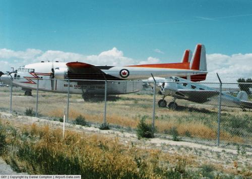
South Big Horn County Airport |
 |
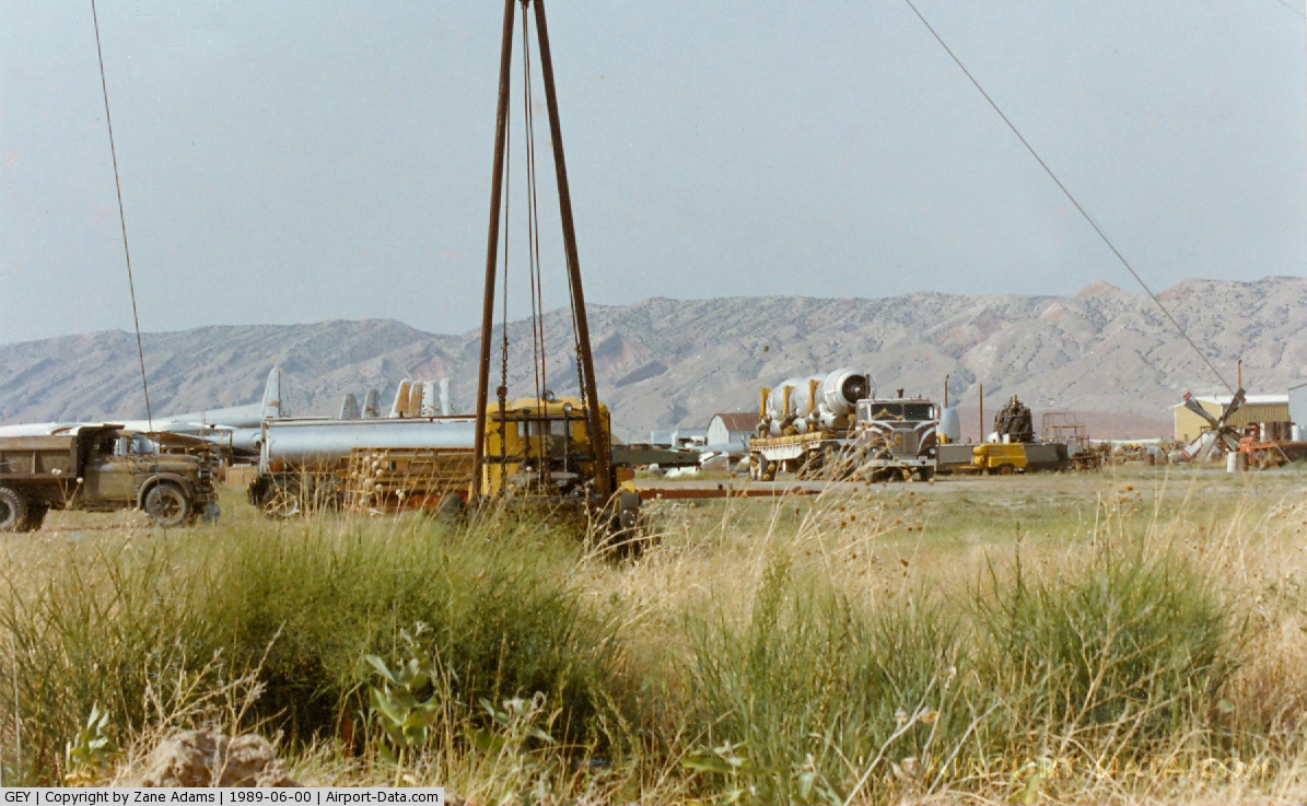
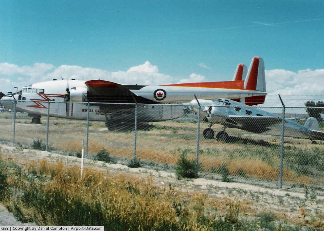
(Click on the photo to enlarge) |
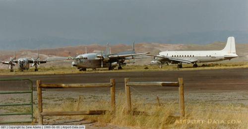 |
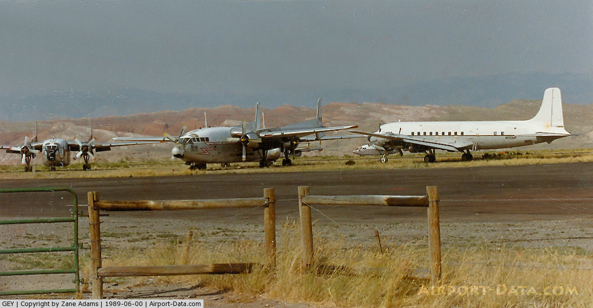
(Click on the photo to enlarge) |
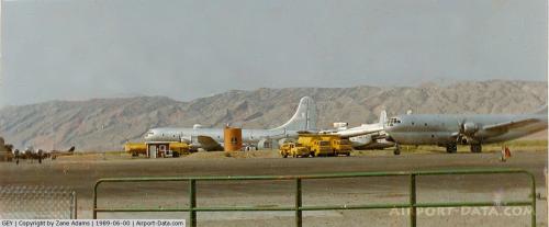 |
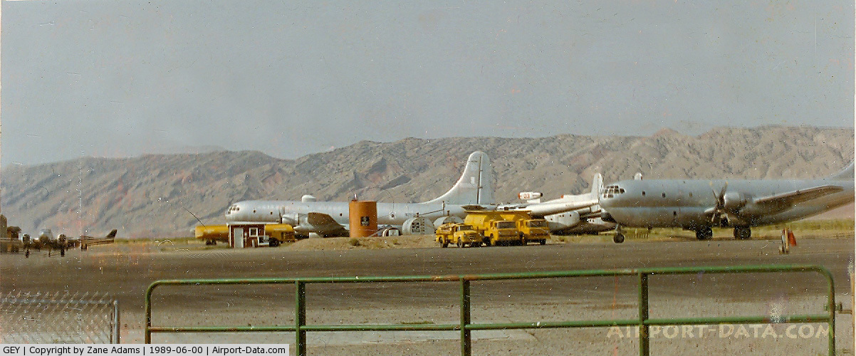
(Click on the photo to enlarge) |
 |
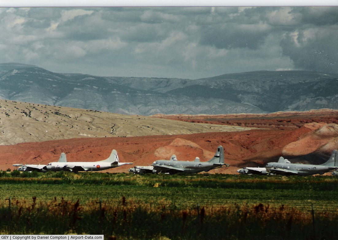
(Click on the photo to enlarge) |
 |
(Click on the photo to enlarge) |
Location & QuickFacts
| FAA Information Effective: | 2008-09-25 |
| Airport Identifier: | GEY |
| Airport Status: | Operational |
| Longitude/Latitude: | 108-04-58.1711W/44-31-00.5455N
-108.082825/44.516818 (Estimated) |
| Elevation: | 3939 ft / 1200.61 m (Surveyed) |
| Land: | 597 acres |
| From nearest city: | 2 nautical miles NW of Greybull, WY |
| Location: | Big Horn County, WY |
| Magnetic Variation: | 14E (1985) |
Owner & Manager
| Ownership: | Publicly owned |
| Owner: | Big Horn County |
| Address: | Box 31
Basin, WY 82410 |
| Phone number: | 307-568-2357 |
| Manager: | Walt Hibbert |
| Address: | Box 92
Otto, WY 82434 |
| Phone number: | 307-762-3407 |
Airport Operations and Facilities
| Airport Use: | Open to public |
| Wind indicator: | Yes |
| Segmented Circle: | Yes |
| Control Tower: | No |
| Lighting Schedule: | DUSK-DAWN
ACTVT MIRL RY 15/33; REIL /VASI RY 15 & 33 - CTAF. |
| Beacon Color: | Clear-Green (lighted land airport) |
| Landing fee charge: | No |
| Sectional chart: | Billings |
| Region: | ANM - Northwest Mountain |
| Boundary ARTCC: | ZLC - Salt Lake City |
| Tie-in FSS: | CPR - Casper |
| FSS on Airport: | No |
| FSS Toll Free: | 1-800-WX-BRIEF |
| NOTAMs Facility: | GEY (NOTAM-d service avaliable) |
| Federal Agreements: | NGSY |
Airport Communications
| CTAF: | 122.800 |
| Unicom: | 122.800 |
Airport Services
| Fuel available: | 100LLA
FOR FUEL AFTER HOURS CALL 307-765-9214 |
| Airframe Repair: | MAJOR |
| Power Plant Repair: | MAJOR |
| Bottled Oxygen: | NONE |
| Bulk Oxygen: | NONE |
Runway Information
Runway 07/25
| Dimension: | 3699 x 75 ft / 1127.5 x 22.9 m |
| Surface: | ASPH, Good Condition |
| Weight Limit: | Single wheel: 12500 lbs. |
| |
Runway 07 |
Runway 25 |
| Longitude: | 108-05-41.5873W | 108-04-50.5917W |
| Latitude: | 44-30-50.4622N | 44-30-52.2036N |
| Elevation: | 3939.00 ft | 3916.00 ft |
| Alignment: | 87 | 127 |
| Traffic Pattern: | Left | Left |
| Markings: | Basic, Fair Condition | Basic, Fair Condition |
|
Runway 15/33
| Dimension: | 6302 x 100 ft / 1920.8 x 30.5 m |
| Surface: | ASPH, Fair Condition |
| Surface Treatment: | Porous Friction Course |
| Weight Limit: | Single wheel: 85000 lbs.
Dual wheel: 150000 lbs.
Dual tandem wheel: 290000 lbs. |
| Edge Lights: | Medium |
| |
Runway 15 |
Runway 33 |
| Longitude: | 108-04-55.6663W | 108-04-39.7578W |
| Latitude: | 44-31-36.5703N | 44-30-35.3954N |
| Elevation: | 3905.00 ft | 3913.00 ft |
| Alignment: | 127 | 127 |
| Traffic Pattern: | Left | Left |
| Markings: | Non-precision instrument, Fair Condition | Non-precision instrument, Fair Condition |
| Crossing Height: | 40.00 ft | 40.00 ft |
| VASI: | 2-box on left side | 2-box on right side |
| Visual Glide Angle: | 3.00° | 3.00° |
| Runway End Identifier: | Yes
RWY 15 AND RWY 33 REIL OTS INDEFLY. | Yes |
|
Radio Navigation Aids
| ID |
Type |
Name |
Ch |
Freq |
Var |
Dist |
| GEY | NDB | Greybull | | 275.00 | 14E | 0.3 nm |
| HCY | NDB | Cowley | | 257.00 | 14E | 28.4 nm |
| POY | NDB | Powell | | 344.00 | 15E | 36.7 nm |
| RLY | VOR/DME | Worland | 095X | 114.80 | 13E | 33.7 nm |
| COD | VOR/DME | Cody | 055X | 111.80 | 14E | 38.3 nm |
| SHR | VORTAC | Sheridan | 100X | 115.30 | 13E | 47.9 nm |
Remarks
- 600 FT DIRT GRADED ON BOTH ENDS OF RY 15/33.
- GA APRON AND TWY RESTRICTED TO ACFT 12500 LBS OR LESS.
- TERRAIN 1066 FT ABV ARPT ELEV 4-5 MILES NORTH & NE OF ARPT.
- ANTELOPE ON & INVOF RY.
- NO LOCATION OR DIRECTIONAL SIGNAGE ON AIRPORT.
Images and information placed above are from
http://www.airport-data.com/airport/GEY/
We thank them for the data!
| General Info
|
| Country |
United States
|
| State |
WYOMING
|
| FAA ID |
GEY
|
| Latitude |
44-30-59.200N
|
| Longitude |
108-04-59.500W
|
| Elevation |
3933 feet
|
| Near City |
GREYBULL
|
We don't guarantee the information is fresh and accurate. The data may
be wrong or outdated.
For more up-to-date information please refer to other sources.
|
|