 |
|
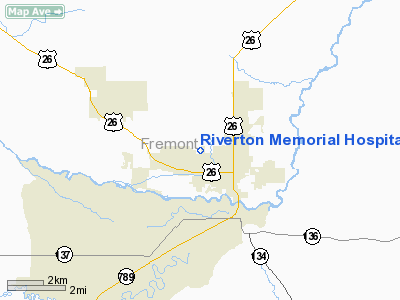
Riverton Memorial Hospital Heliport |
Location & QuickFacts
| FAA Information Effective: | 2008-09-25 |
| Airport Identifier: | WY24 |
| Airport Status: | Operational |
| Longitude/Latitude: | 108-24-11.3770W/43-02-07.8530N
-108.403160/43.035515 (Estimated) |
| Elevation: | 5032 ft / 1533.75 m (Estimated) |
| Land: | 0 acres |
| From nearest city: | 2 nautical miles SE of Riverton, WY |
| Location: | Fremont County, WY |
| Magnetic Variation: | 14E (1990) |
Owner & Manager
| Ownership: | Privately owned |
| Owner: | Riverton Memorial Hospital |
| Address: | 2100 West Sunset Drive
Riverton, WY 82501 |
| Phone number: | 307-856-4161 |
| Manager: | Mark Bappe |
| Address: | 2100 West Sunset Drive
Riverton, WY 82501 |
| Phone number: | 307-857-3490 |
Airport Operations and Facilities
| Airport Use: | Private
MEDICAL USE. |
| Wind indicator: | Yes |
| Segmented Circle: | Yes |
| Control Tower: | No |
| Lighting Schedule: | PHONE REQ
FOR PERIMETER LGTS CALL 307-856-4161. |
| Sectional chart: | Cheyenne |
| Region: | ANM - Northwest Mountain |
| Boundary ARTCC: | ZLC - Salt Lake City |
| Tie-in FSS: | CPR - Casper |
| FSS on Airport: | No |
| FSS Toll Free: | 1-800-WX-BRIEF |
Runway Information
Helipad H1
| Dimension: | 40 x 40 ft / 12.2 x 12.2 m |
| Surface: | CONC, Good Condition |
| |
Runway H1 |
Runway |
| Traffic Pattern: | Left | Left |
| Markings: | Basic, | , |
|
Radio Navigation Aids
| ID |
Type |
Name |
Ch |
Freq |
Var |
Dist |
| RIW | VOR/DME | Riverton | 025X | 108.80 | 16E | 2.9 nm |
| BOY | VOR/DME | Boysen Reservoir | 125X | 117.80 | 16E | 26.1 nm |
Remarks
- PRVDD THAT LIGHT POLE IS REMOVED AND TKOF/LNDG AREA IS 75 X 75 WITH 10 FT ADD PERIPHERAL AREA.
Images and information placed above are from
http://www.airport-data.com/airport/WY24/
We thank them for the data!
| General Info
|
| Country |
United States
|
| State |
WYOMING
|
| FAA ID |
WY24
|
| Latitude |
43-02-07.853N
|
| Longitude |
108-24-11.377W
|
| Elevation |
5032 feet
|
| Near City |
RIVERTON
|
We don't guarantee the information is fresh and accurate. The data may
be wrong or outdated.
For more up-to-date information please refer to other sources.
|
|


