 |
|
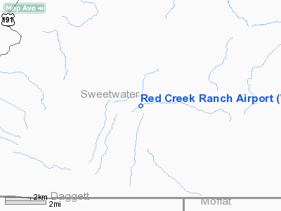
Location & QuickFacts
| FAA Information Effective: | 2008-09-25 |
| Airport Identifier: | WY41 |
| Airport Status: | Operational |
| Longitude/Latitude: | 109-05-22.0000W/41-04-00.0000N
-109.089444/41.066667 (Estimated) |
| Elevation: | 7050 ft / 2148.84 m (Estimated) |
| Land: | 0 acres |
| From nearest city: | 35 nautical miles S of Rock Springs, WY |
| Location: | Sweetwater County, WY |
| Magnetic Variation: | 13E (1995) |
Owner & Manager
| Ownership: | Privately owned |
| Owner: | Adam Lerrick |
| Address: | Po Box 3024
Rock Springs, WY 82902 |
| Manager: | Adam Lerrick |
| Address: | Po Box 3024
Rock Springs, WY 82902 |
Airport Operations and Facilities
| Airport Use: | Private |
| Segmented Circle: | No |
| Control Tower: | No |
| Sectional chart: | Salt Lake City |
| Region: | ANM - Northwest Mountain |
| Boundary ARTCC: | ZLC - Salt Lake City |
| Tie-in FSS: | CPR - Casper |
| FSS on Airport: | No |
| FSS Toll Free: | 1-800-WX-BRIEF |
Runway Information
Runway 08/26
| Dimension: | 4000 x 40 ft / 1219.2 x 12.2 m |
| Surface: | DIRT, |
| |
Runway 08 |
Runway 26 |
| Traffic Pattern: | Left | Left |
|
Radio Navigation Aids
| ID |
Type |
Name |
Ch |
Freq |
Var |
Dist |
| AOP | NDB | Antelope | | 290.00 | 13E | 32.6 nm |
| VEL | VOR/DME | Vernal | 019X | 108.20 | 15E | 45.2 nm |
| OCS | VORTAC | Rock Springs | 107X | 116.00 | 13E | 31.6 nm |
Remarks
Images and information placed above are from
http://www.airport-data.com/airport/WY41/
We thank them for the data!
| General Info
|
| Country |
United States
|
| State |
WYOMING
|
| FAA ID |
WY41
|
| Latitude |
41-04-00.000N
|
| Longitude |
109-05-22.000W
|
| Elevation |
7050 feet
|
| Near City |
ROCK SPRINGS
|
We don't guarantee the information is fresh and accurate. The data may
be wrong or outdated.
For more up-to-date information please refer to other sources.
|
|


