 |
|
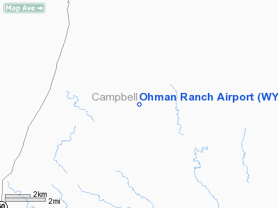
Location & QuickFacts
| FAA Information Effective: | 2008-09-25 |
| Airport Identifier: | WY12 |
| Airport Status: | Operational |
| Longitude/Latitude: | 105-39-12.0120W/43-55-34.9110N
-105.653337/43.926364 (Estimated) |
| Elevation: | 4905 ft / 1495.04 m (Surveyed) |
| Land: | 0 acres |
| From nearest city: | 23 nautical miles SW of Gillette, WY |
| Location: | Campbell County, WY |
| Magnetic Variation: | 13E (1985) |
Owner & Manager
| Ownership: | Privately owned |
| Owner: | Ohmans, Inc |
| Address: | Po Box 968
Gillette, WY 82717 |
| Phone number: | 307-939-1297 |
| Manager: | Joel E. Ohman, Secretary |
| Address: | Po Box 968
Gillette, WY 82717 |
| Phone number: | 307-939-1297 |
Airport Operations and Facilities
| Airport Use: | Private |
| Wind indicator: | Yes |
| Segmented Circle: | No |
| Control Tower: | No |
| Landing fee charge: | No |
| Sectional chart: | Cheyenne |
| Region: | ANM - Northwest Mountain |
| Boundary ARTCC: | ZDV - Denver |
| Tie-in FSS: | CPR - Casper |
| FSS on Airport: | No |
| FSS Toll Free: | 1-800-WX-BRIEF |
Airport Services
| Airframe Repair: | NONE |
| Power Plant Repair: | NONE |
Runway Information
Runway 03L/21R
| Dimension: | 1300 x 75 ft / 396.2 x 22.9 m |
| Surface: | TURF, |
| |
Runway 03L |
Runway 21R |
| Traffic Pattern: | Left | Left |
| Obstruction: | | 4 ft fence, 0.0 ft from runway |
|
Runway 03R/21L
| Dimension: | 2980 x 75 ft / 908.3 x 22.9 m |
| Surface: | TURF, |
| |
Runway 03R |
Runway 21L |
| Traffic Pattern: | Left | Left |
| Obstruction: | | 4 ft fence, 0.0 ft from runway |
|
Runway 10/28
| Dimension: | 2470 x 100 ft / 752.9 x 30.5 m |
| Surface: | TURF, |
| |
Runway 10 |
Runway 28 |
| Traffic Pattern: | Left | Left |
|
Runway 12/30
| Dimension: | 1200 x 75 ft / 365.8 x 22.9 m |
| Surface: | TURF, |
| |
Runway 12 |
Runway 30 |
| Traffic Pattern: | Left | Left |
|
Radio Navigation Aids
| ID |
Type |
Name |
Ch |
Freq |
Var |
Dist |
| GC | NDB | Deryk | | 380.00 | 12E | 21.5 nm |
| GCC | VOR/DME | Gillette | 093X | 114.60 | 12E | 25.8 nm |
| CZI | VOR/DME | Crazy Woman | 120X | 117.30 | 13E | 34.1 nm |
Remarks
- FILED FOR RECORD PURPOSES ONLY.
Images and information placed above are from
http://www.airport-data.com/airport/WY12/
We thank them for the data!
| General Info
|
| Country |
United States
|
| State |
WYOMING
|
| FAA ID |
WY12
|
| Latitude |
43-55-34.911N
|
| Longitude |
105-39-12.012W
|
| Elevation |
4905 feet
|
| Near City |
GILLETTE
|
We don't guarantee the information is fresh and accurate. The data may
be wrong or outdated.
For more up-to-date information please refer to other sources.
|
|


