 |
|
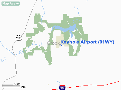
Location & QuickFacts
| FAA Information Effective: | 2008-09-25 |
| Airport Identifier: | 01WY |
| Airport Status: | Operational |
| Longitude/Latitude: | 104-48-38.8930W/44-20-49.9370N
-104.810804/44.347205 (Estimated) |
| Elevation: | 4250 ft / 1295.40 m (Estimated) |
| Land: | 0 acres |
| From nearest city: | 8 nautical miles NE of Moorcroft, WY |
| Location: | Crook County, WY |
| Magnetic Variation: | 12E (1985) |
Owner & Manager
| Ownership: | Privately owned |
| Owner: | George B. Waters |
| Address: | Keyhole Ranch Inc, 647 Mckean Rd
Moorcroft, WY 82721-9778 |
| Phone number: | 307-756-3279 |
| Manager: | George B. Waters |
| Address: | Keyhole Ranch Inc, 647 Mckean Rd
Moorcroft, WY 82721-9778 |
| Phone number: | 307-756-3279 |
Airport Operations and Facilities
| Airport Use: | Private |
| Wind indicator: | Yes |
| Segmented Circle: | No |
| Control Tower: | No |
| Landing fee charge: | No |
| Sectional chart: | Cheyenne |
| Region: | ANM - Northwest Mountain |
| Boundary ARTCC: | ZDV - Denver |
| Tie-in FSS: | CPR - Casper |
| FSS on Airport: | No |
| FSS Toll Free: | 1-800-WX-BRIEF |
Airport Services
| Airframe Repair: | NONE |
| Power Plant Repair: | NONE |
| Bottled Oxygen: | NONE |
| Bulk Oxygen: | NONE |
Runway Information
Runway 12/30
| Dimension: | 4360 x 75 ft / 1328.9 x 22.9 m |
| Surface: | DIRT-TURF, Good Condition |
| |
Runway 12 |
Runway 30 |
| Traffic Pattern: | Left | Left |
| Markings: | None, | None, |
| Runway End Identifier: | No | No |
| Centerline Lights: | No | No |
| Touchdown Lights: | No | No |
| Obstruction: | 4 ft fence | 5 ft fence, 0.0 ft from runway |
|
Runway 16/34
| Dimension: | 2600 x 65 ft / 792.5 x 19.8 m |
| Surface: | DIRT-TURF, Good Condition |
| |
Runway 16 |
Runway 34 |
| Traffic Pattern: | Left | Left |
| Runway End Identifier: | No | No |
| Centerline Lights: | No | No |
| Touchdown Lights: | No | No |
| Obstruction: | 1 ft fence | , 50:1 slope to clear |
|
Radio Navigation Aids
| ID |
Type |
Name |
Ch |
Freq |
Var |
Dist |
| GC | NDB | Deryk | | 380.00 | 12E | 30.9 nm |
| SPF | NDB | Black Hills | | 300.00 | 11E | 44.8 nm |
| EFC | NDB | Belle Fourche | | 269.00 | 11E | 47.0 nm |
| ECS | VOR | Newcastle | | 108.20 | 11E | 35.4 nm |
| GCC | VOR/DME | Gillette | 093X | 114.60 | 12E | 31.5 nm |
Remarks
- RWY 12/30 DOWNSLOPE SE 700'.
- RWY 16/34 DOWNSLOPE N END, DOWNSLOPE S 800'.
- HANGAR 115' WEST OF RWY CNTRLN.
- (A52-16-1) +30' TREES 224' FROM THR.
- (A52-30-1) +40' PLINE APPROX 2000' FROM THR ON CNTRLN.
- PROVIDED DEPARTURES ON RWY 12/30 ARE LIMITED TO SE DEPARTURES; I.E., RWY 12 DEPARTURES; TREES LOCATED APPROX 200' OFF END OF RWY 30 ARE REMOVED OR ALTEREDSO AS NOT TO EXCEED 20:1 APPROACH SURFACE.
Images and information placed above are from
http://www.airport-data.com/airport/01WY/
We thank them for the data!
| General Info
|
| Country |
United States
|
| State |
WYOMING
|
| FAA ID |
01WY
|
| Latitude |
44-20-49.937N
|
| Longitude |
104-48-38.893W
|
| Elevation |
4250 feet
|
| Near City |
MOORCROFT
|
We don't guarantee the information is fresh and accurate. The data may
be wrong or outdated.
For more up-to-date information please refer to other sources.
|
|


