 |
|
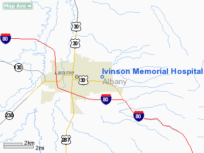
Ivinson Memorial Hospital Heliport |
Location & QuickFacts
| FAA Information Effective: | 2008-09-25 |
| Airport Identifier: | WY40 |
| Airport Status: | Operational |
| Longitude/Latitude: | 105-33-16.9500W/41-18-48.9200N
-105.554708/41.313589 (Estimated) |
| Elevation: | 7307 ft / 2227.17 m (Estimated) |
| Land: | 0 acres |
| From nearest city: | 1 nautical miles E of Laramie, WY |
| Location: | Laramie County, WY |
| Magnetic Variation: | 11E (1995) |
Owner & Manager
| Ownership: | Privately owned |
| Owner: | Albany County Hospital/dba |
| Address: | 255 N 30th Street
Laramie, WY 82070 |
| Phone number: | 307-742-2142 |
| Manager: | Lance Mendiola |
| Address: | 255 N 30th Street
Laramie, WY 82070 |
| Phone number: | 307-742-2142
EXT 6054. |
Airport Operations and Facilities
| Airport Use: | Private
MEDICAL USE. |
| Wind indicator: | Yes |
| Segmented Circle: | No |
| Control Tower: | No |
| Lighting Schedule: | PHONE REQ |
| Beacon Color: | Clear-Green-Yellow (heliport) |
| Sectional chart: | Cheyenne |
| Region: | ANM - Northwest Mountain |
| Boundary ARTCC: | ZDV - Denver |
| Tie-in FSS: | CPR - Casper |
| FSS on Airport: | No |
| FSS Toll Free: | 1-800-WX-BRIEF |
Runway Information
Helipad H1
| Dimension: | 48 x 48 ft / 14.6 x 14.6 m |
| Surface: | CONC, |
| |
Runway H1 |
Runway |
| Traffic Pattern: | Left | Left |
|
Radio Navigation Aids
| ID |
Type |
Name |
Ch |
Freq |
Var |
Dist |
| MBW | VOR/DME | Medicine Bow | 053X | 111.60 | 14E | 37.8 nm |
| LAR | VORTAC | Laramie | 123X | 117.60 | 14E | 7.6 nm |
| CYS | VORTAC | Cheyenne | 078X | 113.10 | 13E | 35.9 nm |
Remarks
- PRVDD THE FOUR POINT STROBES ARE NOT USED TO LIGHT THE HELIPAD.
Images and information placed above are from
http://www.airport-data.com/airport/WY40/
We thank them for the data!
| General Info
|
| Country |
United States
|
| State |
WYOMING
|
| FAA ID |
WY40
|
| Latitude |
41-18-48.920N
|
| Longitude |
105-33-16.950W
|
| Elevation |
7307 feet
|
| Near City |
LARAMIE
|
We don't guarantee the information is fresh and accurate. The data may
be wrong or outdated.
For more up-to-date information please refer to other sources.
|
|


