 |
|
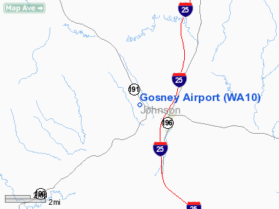
Location & QuickFacts
| FAA Information Effective: | 2008-09-25 |
| Airport Identifier: | WA10 |
| Airport Status: | Operational |
| Longitude/Latitude: | 106-40-02.1670W/43-43-19.8980N
-106.667269/43.722194 (Estimated) |
| Elevation: | 4830 ft / 1472.18 m (Estimated) |
| Land: | 0 acres |
| From nearest city: | 2 nautical miles NW of Kaycee, WY |
| Location: | Johnson County, WY |
| Magnetic Variation: | 13E (1985) |
Owner & Manager
| Ownership: | Privately owned |
| Owner: | S. Gosney |
| Address: | 279 Barnum Rd.
Kaycee, WY 82639 |
| Phone number: | 307-738-2394 |
| Manager: | S. Gosney |
| Address: | 279 Barnum Rd.
Kaycee, WY 82639 |
| Phone number: | 307-738-2394 |
Airport Operations and Facilities
| Airport Use: | Private |
| Wind indicator: | Yes |
| Segmented Circle: | No |
| Control Tower: | No |
| Landing fee charge: | No |
| Sectional chart: | Cheyenne |
| Region: | ANM - Northwest Mountain |
| Boundary ARTCC: | ZDV - Denver |
| Tie-in FSS: | CPR - Casper |
| FSS on Airport: | No |
| FSS Toll Free: | 1-800-WX-BRIEF |
Airport Services
| Fuel available: | 80
FUEL FOR EMERGENCY USE ONLY. |
| Airframe Repair: | NONE |
| Power Plant Repair: | NONE |
| Bottled Oxygen: | NONE |
| Bulk Oxygen: | NONE |
Runway Information
Runway 14/32
| Dimension: | 4600 x 100 ft / 1402.1 x 30.5 m |
| Surface: | TURF, |
| |
Runway 14 |
Runway 32 |
| Traffic Pattern: | Left | Left |
| Runway End Identifier: | No | No |
| Centerline Lights: | No | No |
| Touchdown Lights: | No | No |
|
Radio Navigation Aids
| ID |
Type |
Name |
Ch |
Freq |
Var |
Dist |
| CP | NDB | Johno | | 375.00 | 12E | 49.2 nm |
| CZI | VOR/DME | Crazy Woman | 120X | 117.30 | 13E | 19.5 nm |
| DDY | VORTAC | Muddy Mountain | 109X | 116.20 | 12E | 41.6 nm |
Remarks
- PARALLEL RIDGE 5000' MSL 1/4 MILE WEST.
- WATCH FOR DEER ON RWY
Images and information placed above are from
http://www.airport-data.com/airport/WA10/
We thank them for the data!
| General Info
|
| Country |
United States
|
| State |
WYOMING
|
| FAA ID |
WA10
|
| Latitude |
43-43-19.898N
|
| Longitude |
106-40-02.167W
|
| Elevation |
4830 feet
|
| Near City |
KAYCEE
|
We don't guarantee the information is fresh and accurate. The data may
be wrong or outdated.
For more up-to-date information please refer to other sources.
|
|


