 |
|
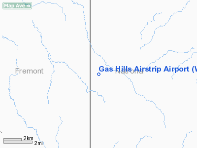
Gas Hills Airstrip Airport |
Location & QuickFacts
| FAA Information Effective: | 2008-09-25 |
| Airport Identifier: | WY61 |
| Airport Status: | Operational |
| Longitude/Latitude: | 107-29-22.0000W/42-52-05.0000N
-107.489444/42.868056 (Estimated) |
| Elevation: | 6990 ft / 2130.55 m (Estimated) |
| Land: | 32 acres |
| From nearest city: | 17 nautical miles SW of Waltman, WY |
| Location: | Natrona County, WY |
| Magnetic Variation: | 13E (1985) |
Owner & Manager
| Ownership: | Publicly owned |
| Owner: | Umetco Minerals Corp. |
| Address: | Po Box 1029
Grand Junction, CO 81502 |
| Phone number: | 970-243-0005 |
| Manager: | Ed Ley, Gen. Supt. |
| Address: | Po Box 151
Riverton, WY 82501 |
| Phone number: | 307-457-2312 |
Airport Operations and Facilities
| Airport Use: | Private |
| Wind indicator: | Yes |
| Segmented Circle: | No |
| Control Tower: | No |
| Sectional chart: | Cheyenne |
| Region: | ANM - Northwest Mountain |
| Boundary ARTCC: | ZLC - Salt Lake City |
| Tie-in FSS: | CPR - Casper |
| FSS Toll Free: | 1-800-WX-BRIEF |
Runway Information
Runway NE/SW
| Dimension: | 4600 x 75 ft / 1402.1 x 22.9 m |
| Surface: | GRVL, |
| |
Runway NE |
Runway SW |
| Traffic Pattern: | Left | Left |
|
Radio Navigation Aids
| ID |
Type |
Name |
Ch |
Freq |
Var |
Dist |
| CP | NDB | Johno | | 375.00 | 12E | 40.6 nm |
| RIW | VOR/DME | Riverton | 025X | 108.80 | 16E | 44.1 nm |
Images and information placed above are from
http://www.airport-data.com/airport/WY61/
We thank them for the data!
| General Info
|
| Country |
United States
|
| State |
WYOMING
|
| FAA ID |
WY61
|
| Latitude |
42-52-05.000N
|
| Longitude |
107-29-22.000W
|
| Elevation |
6990 feet
|
| Near City |
WALTMAN
|
We don't guarantee the information is fresh and accurate. The data may
be wrong or outdated.
For more up-to-date information please refer to other sources.
|
|


