 |
|
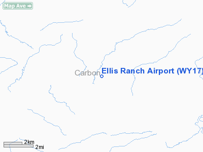
Location & QuickFacts
| FAA Information Effective: | 2008-09-25 |
| Airport Identifier: | WY17 |
| Airport Status: | Operational |
| Longitude/Latitude: | 106-25-28.0900W/42-01-18.8660N
-106.424469/42.021907 (Estimated) |
| Elevation: | 6530 ft / 1990.34 m (Estimated) |
| Land: | 0 acres |
| From nearest city: | 11 nautical miles NW of Medicine Bow, WY |
| Location: | Carbon County, WY |
| Magnetic Variation: | 13E (1985) |
Owner & Manager
| Ownership: | Privately owned |
| Owner: | William R Ellis |
| Address: | Box 217
Medicine Bow, WY 82329 |
| Phone number: | 307-325-6744 |
| Manager: | William R Ellis |
| Address: | Box 217
Medicine Bow, WY 82329 |
| Phone number: | 307-325-6744 |
Airport Operations and Facilities
| Airport Use: | Private |
| Wind indicator: | Yes |
| Segmented Circle: | No |
| Control Tower: | No |
| Landing fee charge: | No |
| Sectional chart: | Cheyenne |
| Region: | ANM - Northwest Mountain |
| Boundary ARTCC: | ZDV - Denver |
| Tie-in FSS: | CPR - Casper |
| FSS on Airport: | No |
| FSS Toll Free: | 1-800-WX-BRIEF |
Runway Information
Runway 08/26
| Dimension: | 3100 x 75 ft / 944.9 x 22.9 m |
| Surface: | TURF, |
| |
Runway 08 |
Runway 26 |
| Traffic Pattern: | Left | Left |
|
Radio Navigation Aids
| ID |
Type |
Name |
Ch |
Freq |
Var |
Dist |
| SIR | NDB | Sinclair | | 368.00 | 13E | 32.7 nm |
| SAA | NDB | Saratoga | | 266.00 | 12E | 39.2 nm |
| MBW | VOR/DME | Medicine Bow | 053X | 111.60 | 14E | 21.6 nm |
| RWL | VOR/DME | Rawlins | 031X | 109.40 | 13E | 37.2 nm |
Images and information placed above are from
http://www.airport-data.com/airport/WY17/
We thank them for the data!
| General Info
|
| Country |
United States
|
| State |
WYOMING
|
| FAA ID |
WY17
|
| Latitude |
42-01-18.866N
|
| Longitude |
106-25-28.090W
|
| Elevation |
6530 feet
|
| Near City |
MEDICINE BOW
|
We don't guarantee the information is fresh and accurate. The data may
be wrong or outdated.
For more up-to-date information please refer to other sources.
|
|


