 |
|
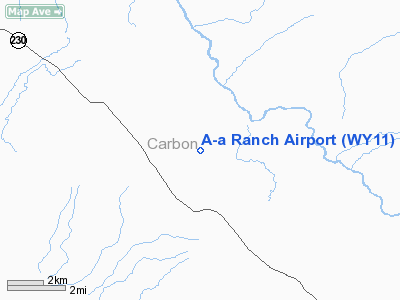
Location & QuickFacts
| FAA Information Effective: | 2008-09-25 |
| Airport Identifier: | WY11 |
| Airport Status: | Operational |
| Longitude/Latitude: | 106-33-27.1110W/41-09-29.8870N
-106.557531/41.158302 (Estimated) |
| Elevation: | 7880 ft / 2401.82 m (Estimated) |
| Land: | 0 acres |
| From nearest city: | 11 nautical miles E of Encampment, WY |
| Location: | Carbon County, WY |
| Magnetic Variation: | 13E (1985) |
Owner & Manager
| Ownership: | Privately owned |
| Owner: | Robert Howe |
| Address: | A-a Ranch
Encampment, WY 80220 |
| Phone number: | 307-327-5454 |
| Manager: | Robert Howe |
| Address: | A-a Ranch
Encampment, WY 80112 |
| Phone number: | 307-327-5454 |
Airport Operations and Facilities
| Airport Use: | Private |
| Wind indicator: | Yes |
| Segmented Circle: | No |
| Control Tower: | No |
| Landing fee charge: | No |
| Sectional chart: | Cheyenne |
| Region: | ANM - Northwest Mountain |
| Boundary ARTCC: | ZDV - Denver |
| Tie-in FSS: | CPR - Casper |
| FSS on Airport: | No |
| FSS Toll Free: | 1-800-WX-BRIEF |
Airport Communications
Airport Services
| Airframe Repair: | NONE |
| Power Plant Repair: | NONE |
Runway Information
Runway NW/SE
| Dimension: | 5700 x 50 ft / 1737.4 x 15.2 m |
| Surface: | ASPH, |
| |
Runway NW |
Runway SE |
| Traffic Pattern: | Left | Left |
|
Radio Navigation Aids
| ID |
Type |
Name |
Ch |
Freq |
Var |
Dist |
| SAA | NDB | Saratoga | | 266.00 | 12E | 21.2 nm |
| SBS | NDB | Steamboat Springs | | 245.00 | 13E | 43.2 nm |
| SIR | NDB | Sinclair | | 368.00 | 13E | 45.6 nm |
| BQZ | VOR/DME | Robert | 059X | 112.20 | 13E | 44.1 nm |
| MBW | VOR/DME | Medicine Bow | 053X | 111.60 | 14E | 48.2 nm |
| RWL | VOR/DME | Rawlins | 031X | 109.40 | 13E | 48.6 nm |
| LAR | VORTAC | Laramie | 123X | 117.60 | 14E | 39.3 nm |
Remarks
- FREQUENT CROSS WIND.
- NUMEROUS HILLS AROUND ARPT.
Images and information placed above are from
http://www.airport-data.com/airport/WY11/
We thank them for the data!
| General Info
|
| Country |
United States
|
| State |
WYOMING
|
| FAA ID |
WY11
|
| Latitude |
41-09-29.887N
|
| Longitude |
106-33-27.111W
|
| Elevation |
7880 feet
|
| Near City |
ENCAMPMENT
|
We don't guarantee the information is fresh and accurate. The data may
be wrong or outdated.
For more up-to-date information please refer to other sources.
|
|


