|
|
Coordinates: 43°59′04″N 088°33′25″W / 43.98444°N 88.55694°W / 43.98444; -88.55694
| Wittman Regional Airport |
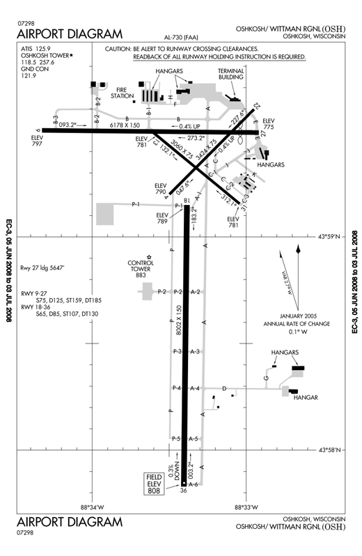 |
| FAA airport diagram for Wittman Regional Airport |
| IATA: OSH – ICAO: KOSH – FAA LID: OSH |
| Summary |
| Airport type |
Public |
| Owner/Operator |
Winnebago County |
| Serves |
Oshkosh, Wisconsin |
| Elevation AMSL |
808 ft / 246 m |
| Website |
www.WittmanAirport.com |
| Runways |
| Direction |
Length |
Surface |
| ft |
m |
| 18/36 |
8,002 |
2,439 |
Concrete |
| 9/27 |
6,178 |
1,883 |
Asphalt |
| 4/22 |
3,424 |
1,044 |
Asphalt |
| 13/31 |
3,060 |
933 |
Asphalt |
| Statistics (2006) |
| Aircraft operations |
92,478 |
| Based aircraft |
149 |
| Sources: airport web site and FAA |
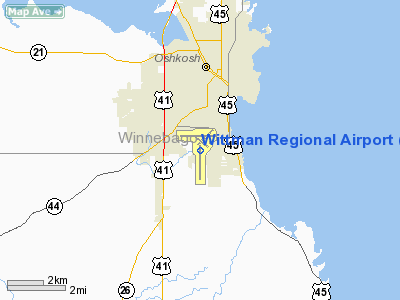
Wittman Regional Airport (IATA: OSH, ICAO: KOSH, FAA LID: OSH) is a public airport located two miles (3 km) south of the central business district of Oshkosh, Wisconsin, United States. The airport is owned and operated by Winnebago County. Wittman Field, as it sometimes called, is used almost exclusively for general aviation, but has serviced aircraft as large as the Boeing 747 and Airbus A380. It is named after pioneer air racer and aircraft designer and builder Steve Wittman. The airport was originally Winnebago County Airport. Facilities and aircraft
Wittman Regional Airport covers an area of 1,392 acres (563 ha) which contains four runways:
- Runway 18/36: 8,002 x 150 ft (2,439 x 46 m), Surface: Concrete
- Runway 9/27: 6,178 x 150 ft (1,883 x 46 m), Surface: Asphalt
- Runway 4/22: 3,424 x 75 ft (1,044 x 23 m), Surface: Asphalt
- Runway 13/31: 3,060 x 75 ft (933 x 23 m), Surface: Asphalt
For the 12-month period ending December 31, 2006, the airport had 92,478 aircraft operations, an average of 253 per day: 97% general aviation, 2% air taxi, 1% military and <1% scheduled commercial. There are 149 aircraft based at this airport: 79% single-engine, 19% multi-engine and 3% jet.
As with many larger airports, Wittman Field's expansion over the years has necessitated the closure of nearby roadways and acquisition of nearby parcels of land. In particular, Knapp Street (running parallel to the runways) has been permanently closed near the airport to facilitate the expansion of the grounds in that area (for the annual EAA Airventure.)
Airshow
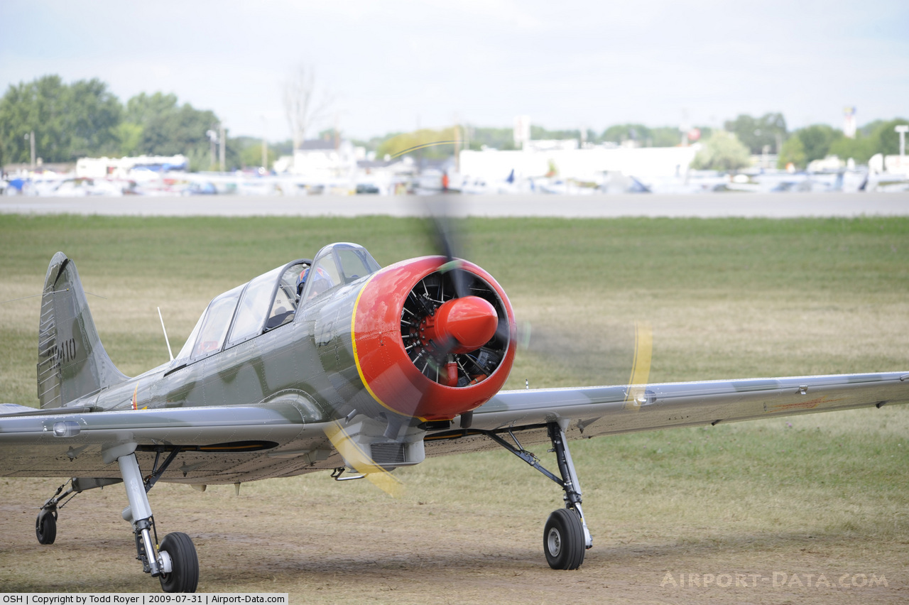
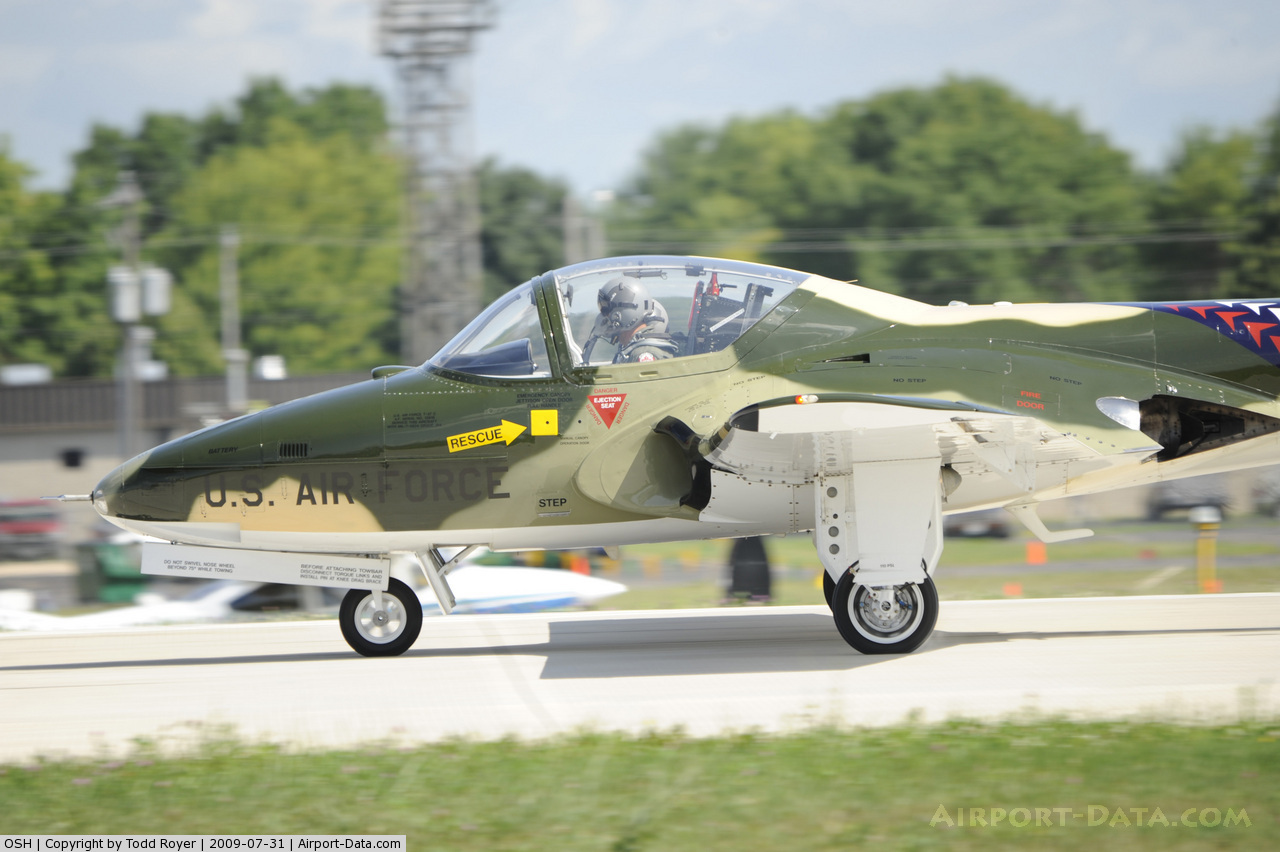
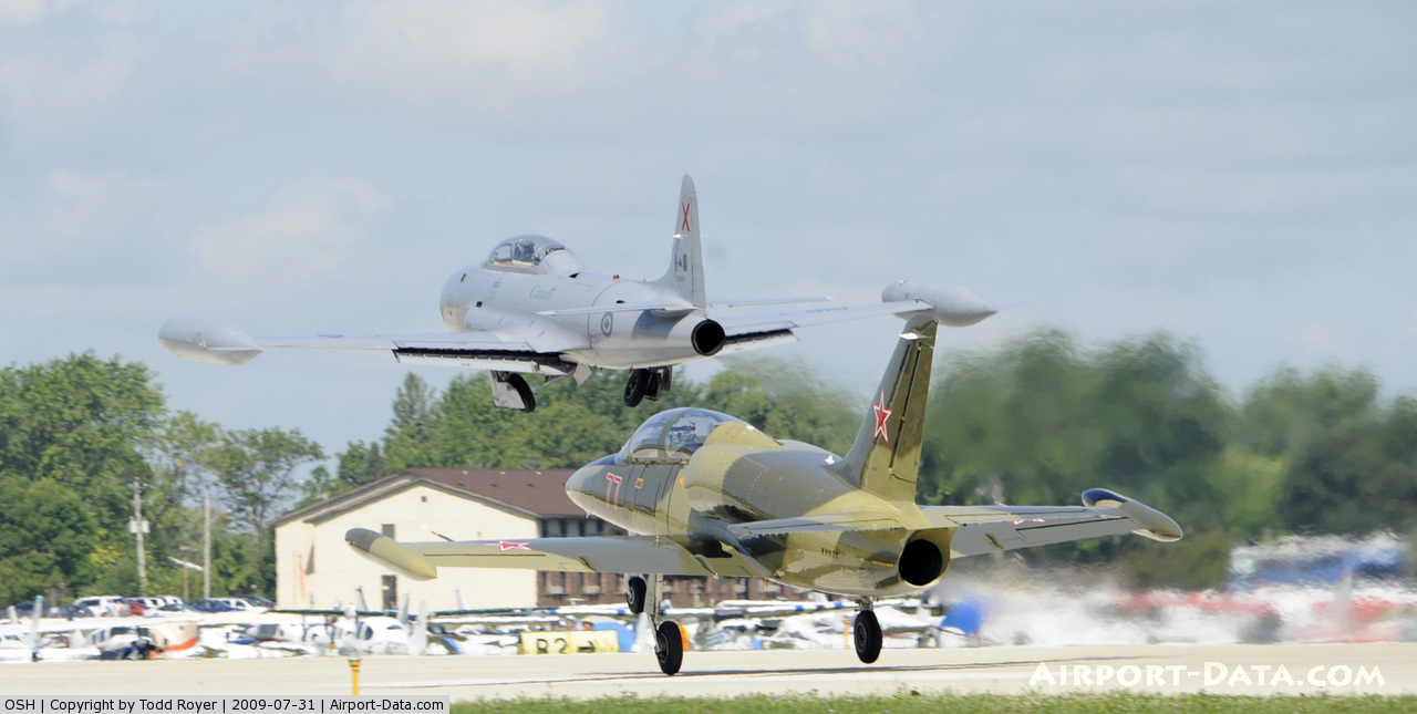
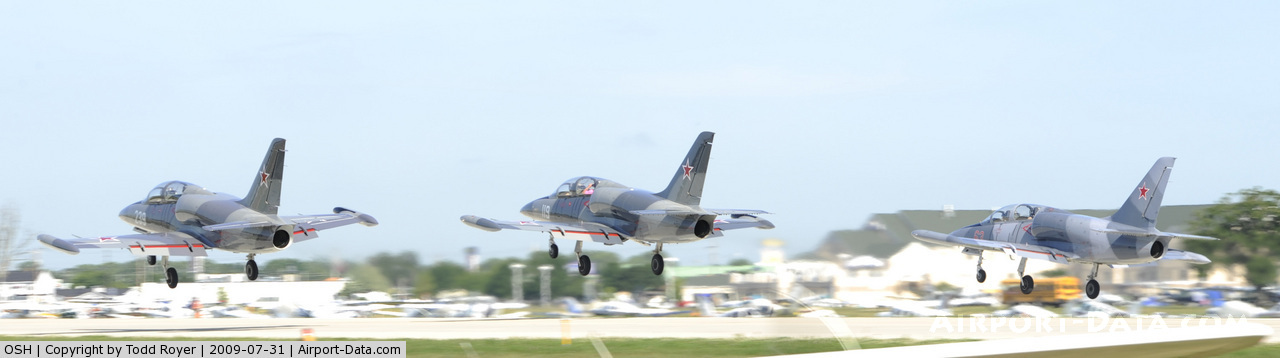
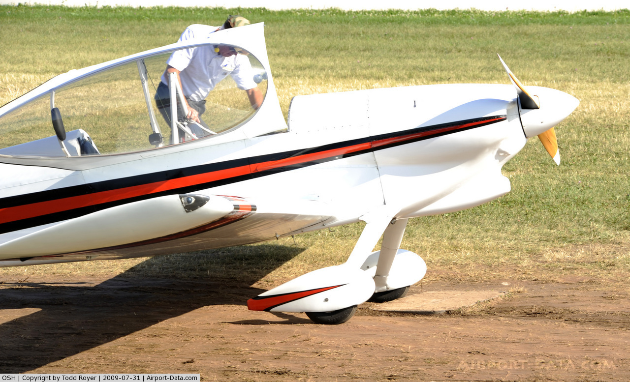
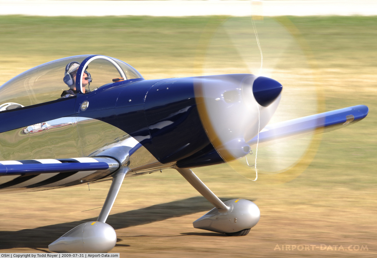
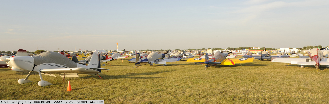
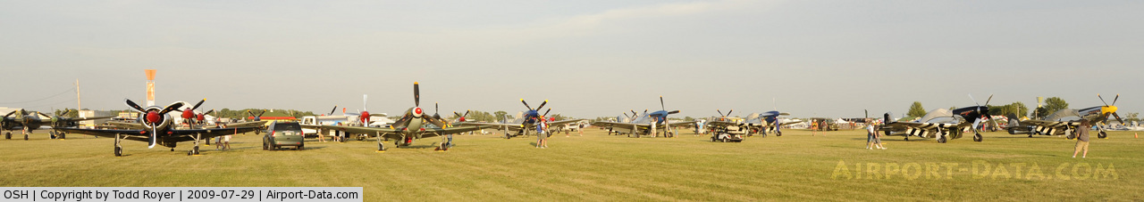
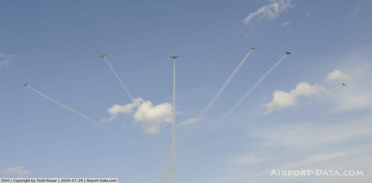
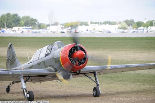
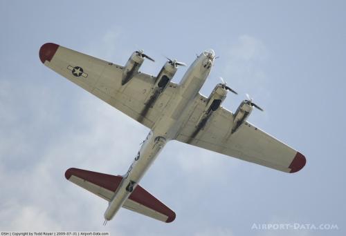
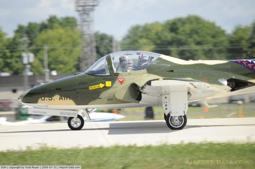
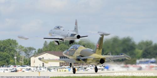
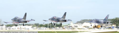
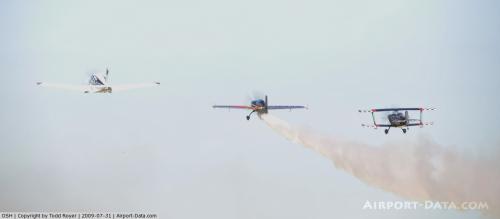
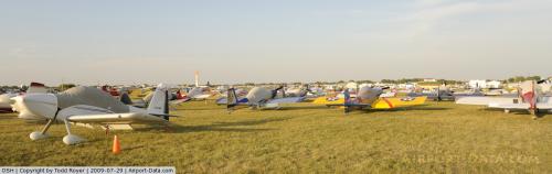
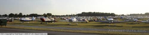
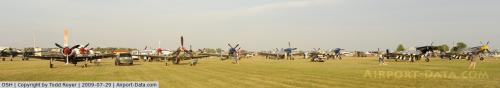
The airport is the site of the annual Experimental Aircraft Association's AirVenture Oshkosh, an experimental aircraft and sport aviation airshow. Across Knapp St. to the west lies the campus of the EAA AirVenture Museum. For the week of AirVenture Oshkosh (known locally as "The Airshow" or "The Fly-in"), Wittman Regional is the world's busiest airport by traffic movements.
Images
The above content comes from Wikipedia and is published under free licenses – click here to read more.
 |
(Click on the photo to enlarge) |
 |
(Click on the photo to enlarge) |
 |
(Click on the photo to enlarge) |
 |
(Click on the photo to enlarge) |
 |
(Click on the photo to enlarge) |
 |
(Click on the photo to enlarge) |
 |
(Click on the photo to enlarge) |
 |
(Click on the photo to enlarge) |
 |
(Click on the photo to enlarge) |
 |
(Click on the photo to enlarge) |
 |
(Click on the photo to enlarge) |
 |
(Click on the photo to enlarge) |
Location & QuickFacts
| FAA Information Effective: | 2008-09-25 |
| Airport Identifier: | OSH |
| Airport Status: | Operational |
| Longitude/Latitude: | 088-33-25.3500W/43-59-03.6700N
-88.557042/43.984353 (Estimated) |
| Elevation: | 808 ft / 246.28 m (Surveyed) |
| Land: | 1392 acres |
| From nearest city: | 2 nautical miles S of Oshkosh, WI |
| Location: | Winnebago County, WI |
| Magnetic Variation: | 01E (1975) |
Owner & Manager
| Ownership: | Publicly owned |
| Owner: | Winnebago County |
| Address: | 415 Jackson St
Oshkosh, WI 54901 |
| Phone number: | 920-424-0092 |
| Manager: | Peter Moll |
| Address: | 525 W 20th St
Oshkosh, WI 54901 |
| Phone number: | 920-424-0092 |
Airport Operations and Facilities
| Airport Use: | Open to public |
| Wind indicator: | Yes |
| Segmented Circle: | Yes |
| Control Tower: | Yes |
| Lighting Schedule: | DUSK-DAWN
WHEN ATCT CLSD HIRL RY 09/27 PRESET ON MED INTST; TO INCR INTST & ACTVT HIRL RY 18/36 & MALSR RY 36 & PAPI RY 27 - CTAF. |
| Beacon Color: | Clear-Green (lighted land airport) |
| Landing fee charge: | No |
| Sectional chart: | Chicago |
| Region: | AGL - Great Lakes |
| Traffic Pattern Alt: | 1000 ft |
| Boundary ARTCC: | ZAU - Chicago |
| Tie-in FSS: | GRB - Green Bay |
| FSS on Airport: | No |
| FSS Toll Free: | 1-800-WX-BRIEF |
| NOTAMs Facility: | OSH (NOTAM-d service avaliable) |
| Federal Agreements: | NGY3 |
Airport Communications
| CTAF: | 118.500 |
| Unicom: | 122.950 |
Airport Services
| Fuel available: | 100LLA |
| Airframe Repair: | MAJOR |
| Power Plant Repair: | MAJOR |
| Bottled Oxygen: | NONE |
| Bulk Oxygen: | HIGH/LOW |
Runway Information
Runway 04/22
| Dimension: | 3424 x 75 ft / 1043.6 x 22.9 m |
| Surface: | ASPH, Poor Condition
RYS 13/31 & 04/22 HAVE HEAVY CRACKING & VEGITATION GROWING THROUGH RUNWAY SFC, FULL LENGTH. |
| |
Runway 04 |
Runway 22 |
| Longitude: | 088-33-30.0140W | 088-32-56.9350W |
| Latitude: | 43-59-11.9420N | 43-59-35.8760N |
| Elevation: | 790.00 ft | 775.00 ft |
| Alignment: | 45 | 127 |
| Traffic Pattern: | Left | Left |
| Markings: | Basic, Fair Condition | Basic, Fair Condition |
| Runway End Identifier: | No | No |
| Centerline Lights: | No | No |
| Touchdown Lights: | No | No |
| Obstruction: | 23 ft pole, 980.0 ft from runway, 150 ft right of centerline, 33:1 slope to clear | 7 ft pole, 280.0 ft from runway, 130 ft left of centerline, 11:1 slope to clear |
|
Runway 09/27
| Dimension: | 6178 x 150 ft / 1883.1 x 45.7 m |
| Surface: | ASPH, Fair Condition
RYS 13/31 & 04/22 HAVE HEAVY CRACKING & VEGITATION GROWING THROUGH RUNWAY SFC, FULL LENGTH. |
| Surface Treatment: | Saw-cut or plastic Grooved |
| Weight Limit: | Single wheel: 75000 lbs.
Dual wheel: 125000 lbs.
Dual tandem wheel: 185000 lbs.
MAXIMUM WEIGHT BEARING CAPACITY FOR ANY ACFT IS 50000 LBS.
MAXIMUM WEIGHT BEARING CAPACITY FOR ANY ACFT IS 50000 LBS. |
| Edge Lights: | High |
| |
Runway 09 |
Runway 27 |
| Longitude: | 088-34-19.6520W | 088-32-55.1490W |
| Latitude: | 43-59-29.9000N | 43-59-29.3100N |
| Elevation: | 797.00 ft | 775.00 ft |
| Alignment: | 91 | 127 |
| Traffic Pattern: | Left | Left |
| Markings: | Non-precision instrument, Fair Condition | Non-precision instrument, Fair Condition |
| Crossing Height: | 50.00 ft | 47.00 ft |
| Displaced threshold: | 0.00 ft | 531.00 ft |
| VASI: | 4-box on left side | 4-light PAPI on left side |
| Visual Glide Angle: | 3.00° | 3.00° |
| Runway End Identifier: | Yes | Yes |
| Centerline Lights: | No | No |
| Touchdown Lights: | No | No |
| Obstruction: | 72 ft pole, 2505.0 ft from runway, 306 ft right of centerline, 32:1 slope to clear | 53 ft trees, 1750.0 ft from runway, 400 ft left of centerline, 29:1 slope to clear |
|
Runway 13/31
| Dimension: | 3060 x 75 ft / 932.7 x 22.9 m |
| Surface: | ASPH, Poor Condition
RYS 13/31 & 04/22 HAVE HEAVY CRACKING & VEGITATION GROWING THROUGH RUNWAY SFC, FULL LENGTH. |
| |
Runway 13 |
Runway 31 |
| Longitude: | 088-33-34.8960W | 088-33-02.5730W |
| Latitude: | 43-59-28.4870N | 43-59-09.2890N |
| Elevation: | 781.00 ft | 781.00 ft |
| Alignment: | 127 | 127 |
| Traffic Pattern: | Left | Left |
| Markings: | Basic, Fair Condition | Basic, Fair Condition |
| Runway End Identifier: | No | No |
| Centerline Lights: | No | No |
| Touchdown Lights: | No | No |
| Obstruction: | , 50:1 slope to clear | 17 ft pole, 590.0 ft from runway, 60 ft right of centerline, 22:1 slope to clear |
|
Runway 18/36
| Dimension: | 8002 x 150 ft / 2439.0 x 45.7 m |
| Surface: | CONC, Fair Condition
RYS 13/31 & 04/22 HAVE HEAVY CRACKING & VEGITATION GROWING THROUGH RUNWAY SFC, FULL LENGTH. |
| Surface Treatment: | Saw-cut or plastic Grooved |
| Weight Limit: | Single wheel: 65000 lbs.
Dual wheel: 85000 lbs.
Dual tandem wheel: 130000 lbs.
MAXIMUM WEIGHT BEARING CAPACITY FOR ANY ACFT IS 50000 LBS.
MAXIMUM WEIGHT BEARING CAPACITY FOR ANY ACFT IS 50000 LBS. |
| Edge Lights: | High |
| |
Runway 18 |
Runway 36 |
| Longitude: | 088-33-23.1380W | 088-33-24.1670W |
| Latitude: | 43-59-08.8380N | 43-57-49.8260N |
| Elevation: | 789.00 ft | 808.00 ft |
| Alignment: | 127 | 1 |
| ILS Type: | | ILS
|
| Traffic Pattern: | Left | Left |
| Markings: | Precision instrument, Fair Condition | Precision instrument, Fair Condition |
| Crossing Height: | 47.00 ft | 52.00 ft |
| VASI: | 4-box on left side | 4-light PAPI on left side |
| Visual Glide Angle: | 3.00° | 3.00° |
| Approach lights: | | MALSR |
| Runway End Identifier: | Yes | |
| Centerline Lights: | No | No |
| Touchdown Lights: | No | No |
| Obstruction: | 3 ft ant, 280.0 ft from runway, 130 ft left of centerline, 26:1 slope to clear | , 50:1 slope to clear |
|
Radio Navigation Aids
| ID |
Type |
Name |
Ch |
Freq |
Var |
Dist |
| AQ | NDB | Kooky | | 407.00 | 02W | 15.5 nm |
| PCZ | NDB | Waupaca | | 382.00 | 01W | 28.8 nm |
| SG | NDB | Depre | | 332.00 | 02W | 30.9 nm |
| UNU | NDB | Juneau | | 344.00 | 01W | 34.0 nm |
| LLE | NDB | Kettle Moraine | | 329.00 | 01W | 38.5 nm |
| HXF | NDB | Hartford | | 200.00 | 00E | 38.9 nm |
| CLI | NDB | Clintonville | | 209.00 | 02W | 38.9 nm |
| RYV | NDB | Rock River | | 371.00 | 01W | 49.3 nm |
| BJB | VOR | West Bend | | 109.80 | 01W | 38.7 nm |
| FAH | VOR/DME | Falls | 37X | 110.00 | 02W | 33.3 nm |
| MTW | VOR/DME | Manitowoc | 047X | 111.00 | 02W | 38.9 nm |
| OSH | VORTAC | Oshkosh | 055X | 111.80 | 02E | 0.4 nm |
| GRB | VORTAC | Green Bay | 102X | 115.50 | 01E | 37.7 nm |
Remarks
- BIRDS ON & INVOF ARPT ESPECIALLY GULLS.
- PORTIONS OF RY 09/27 BETWEEN TWYS B1 & B3 NOT VISIBLE FM ATCT.
- RYS 13/31 & 04/22; TWYS C; H & P NOT AVBL TO ACR WITH MORE THAN 30 PSGR SEATS.
- RY 22 & RY 27 APCH ENDS ARE CLOSELY ALIGNED. VERIFY CORRECT RY AND COMPASS HEADING PRIOR TO DEP.
Images and information placed above are from
http://www.airport-data.com/airport/OSH/
We thank them for the data!
| General Info
|
| Country |
United States
|
| State |
WISCONSIN
|
| FAA ID |
OSH
|
| Latitude |
43-59-03.670N
|
| Longitude |
088-33-25.350W
|
| Elevation |
808 feet
|
| Near City |
OSHKOSH
|
We don't guarantee the information is fresh and accurate. The data may
be wrong or outdated.
For more up-to-date information please refer to other sources.
|
|