|
|
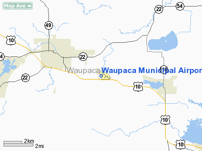
Waupaca Municipal Airport
Brunner Field |
 |
| IATA: none – ICAO: KPCZ – FAA LID: PCZ |
| Summary |
| Airport type |
Public |
| Owner/Operator |
City of Waupaca |
| Serves |
Waupaca, Wisconsin |
| Elevation AMSL |
840 ft / 256 m |
| Coordinates |
44°20′0″N 89°1′11″W / 44.333333°N 89.01972°W / 44.333333; -89.01972Coordinates: 44°20′0″N 89°1′11″W / 44.333333°N 89.01972°W / 44.333333; -89.01972 |
| Website |
CityOfWaupaca.org/... |
| Runways |
| Direction |
Length |
Surface |
| ft |
m |
| 10/28 |
5,200 |
1,585 |
Asphalt |
| 13/31 |
3,899 |
1,188 |
Asphalt |
| Statistics (2007) |
| Aircraft operations |
20,160 |
| Based aircraft |
42 |
| Sources: FAA, Wisconsin DOT, and airport website |
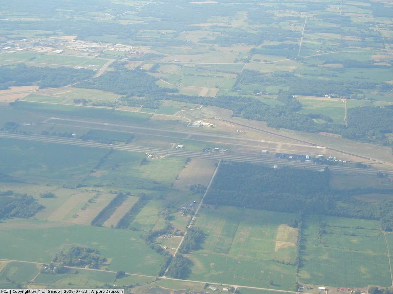
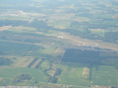
Waupaca Municipal Airport (ICAO: KPCZ, FAA LID: PCZ) is a city-owned public-use airport located three nautical miles (6 km) southeast of the central business district of Waupaca, a city in Waupaca County, Wisconsin, United States. The airport is also known as Brunner Field. It is located adjacent to U.S. Route 10.
Although most U.S. airports use the same three-letter location identifier for the FAA and IATA, this airport is assigned PCZ by the FAA but has no designation from the IATA. Facilities and aircraft
Waupaca Municipal Airport covers an area of 386 acres (156 ha) at an elevation of 840 feet (256 m) above mean sea level. It has two asphalt paved runways: 10/28 is 5,200 by 100 feet (1,585 x 30 m); 13/31 is 3,899 by 75 feet (1,188 x 23 m).
Wauapaca (PCZ) non-directional beacon, 382 kHz, is located on field.
Plane Guys Aviation, LLC. is the fixed base operator.
For the 12-month period ending August 14, 2007, the airport had 20,160 aircraft operations, an average of 55 per day: 99% general aviation, 1% air taxi and <1% military. At that time there were 42 aircraft based at this airport: 71% single-engine, 14% multi-engine, 10% ultralight and 5% jet.
Images
The above content comes from Wikipedia and is published under free licenses – click here to read more.
 |
(Click on the photo to enlarge) |
Location & QuickFacts
| FAA Information Effective: | 2008-09-25 |
| Airport Identifier: | PCZ |
| Airport Status: | Operational |
| Longitude/Latitude: | 089-01-11.2000W/44-19-59.7000N
-89.019778/44.333250 (Estimated) |
| Elevation: | 840 ft / 256.03 m (Surveyed) |
| Land: | 386 acres |
| From nearest city: | 3 nautical miles SE of Waupaca, WI |
| Location: | Waupaca County, WI |
| Magnetic Variation: | 01W (1995) |
Owner & Manager
| Ownership: | Publicly owned |
| Owner: | City Of Waupaca |
| Address: | City Hall
Waupaca, WI 54981 |
| Phone number: | 715-258-2044 |
| Manager: | Russel Bargo |
| Address: | 2601 Runway Drive
Waupaca, WI 54981 |
| Phone number: | 920-867-3201 |
Airport Operations and Facilities
| Airport Use: | Open to public |
| Wind indicator: | Yes |
| Segmented Circle: | Yes |
| Control Tower: | No |
| Lighting Schedule: | DUSK-DAWN
ACTVT MIRL RY 13/31 & PAPI RY 13 & RY 31 - CTAF.MIRL RY 10/28 & PAPI RYS 10 & 28 OPER DUSK-DAWN, TO INCREASE INTST ACTVT - CTAF. |
| Beacon Color: | Clear-Green (lighted land airport) |
| Landing fee charge: | No |
| Sectional chart: | Green Bay |
| Region: | AGL - Great Lakes |
| Boundary ARTCC: | ZMP - Minneapolis |
| Tie-in FSS: | GRB - Green Bay |
| FSS on Airport: | No |
| FSS Toll Free: | 1-800-WX-BRIEF |
| NOTAMs Facility: | PCZ (NOTAM-d service avaliable) |
| Federal Agreements: | NGY |
Airport Communications
| CTAF: | 122.800 |
| Unicom: | 122.800 |
Airport Services
| Fuel available: | 100LL |
| Airframe Repair: | MAJOR |
| Power Plant Repair: | MAJOR |
| Bottled Oxygen: | LOW |
| Bulk Oxygen: | NONE |
Runway Information
Runway 10/28
| Dimension: | 5200 x 100 ft / 1585.0 x 30.5 m |
| Surface: | ASPH, Good Condition |
| Edge Lights: | Medium |
| |
Runway 10 |
Runway 28 |
| Longitude: | 089-01-58.4151W | 089-00-46.9969W |
| Latitude: | 44-20-00.1156N | 44-19-57.0306N |
| Elevation: | 840.00 ft | 805.00 ft |
| Alignment: | 93 | 127 |
| Traffic Pattern: | Right | Right |
| Markings: | Non-precision instrument, Good Condition | Non-precision instrument, Good Condition |
| Crossing Height: | 40.00 ft | 40.00 ft |
| VASI: | 2-light PAPI on left side | 2-light PAPI on left side |
| Visual Glide Angle: | 3.00° | 3.00° |
| Runway End Identifier: | Yes | Yes |
| Obstruction: | , 50:1 slope to clear | 32 ft trees, 1300.0 ft from runway, 34:1 slope to clear |
|
Runway 13/31
| Dimension: | 3899 x 75 ft / 1188.4 x 22.9 m |
| Surface: | ASPH, Good Condition |
| Weight Limit: | Single wheel: 13000 lbs. |
| Edge Lights: | Medium |
| |
Runway 13 |
Runway 31 |
| Longitude: | 089-01-18.0815W | 089-00-33.5171W |
| Latitude: | 44-20-11.9861N | 44-19-50.5607N |
| Elevation: | 826.00 ft | 803.00 ft |
| Alignment: | 123 | 127 |
| Traffic Pattern: | Left | Left |
| Markings: | Non-precision instrument, Good Condition | Non-precision instrument, Good Condition |
| Crossing Height: | 33.00 ft | 27.00 ft |
| VASI: | 4-light PAPI on left side | 2-light PAPI on left side |
| Visual Glide Angle: | 3.00° | 3.00° |
| Runway End Identifier: | No | No |
| Centerline Lights: | No | No |
| Touchdown Lights: | No | No |
| Obstruction: | 42 ft trees, 1300.0 ft from runway, 220 ft right of centerline, 26:1 slope to clear | 12 ft road, 440.0 ft from runway, 275 ft left of centerline, 20:1 slope to clear |
|
Radio Navigation Aids
| ID |
Type |
Name |
Ch |
Freq |
Var |
Dist |
| PCZ | NDB | Waupaca | | 382.00 | 01W | 0.2 nm |
| CLI | NDB | Clintonville | | 209.00 | 02W | 21.1 nm |
| AQ | NDB | Kooky | | 407.00 | 02W | 27.6 nm |
| ISW | NDB | Wisconsin Rapids | | 215.00 | 01W | 35.3 nm |
| SG | NDB | Depre | | 332.00 | 02W | 38.3 nm |
| FZK | NDB | Wausau | | 243.00 | 01E | 44.1 nm |
| AIG | NDB | Antigo | | 347.00 | 02W | 49.8 nm |
| STE | VORTAC | Stevens Point | 043X | 110.60 | 01W | 25.3 nm |
| OSH | VORTAC | Oshkosh | 055X | 111.80 | 02E | 28.7 nm |
| GRB | VORTAC | Green Bay | 102X | 115.50 | 01E | 37.8 nm |
| AUW | VORTAC | Wausau | 053X | 111.60 | 02E | 39.3 nm |
Remarks
- GCO AVBL ON FREQ 121.725 THRU FLT SVCS.
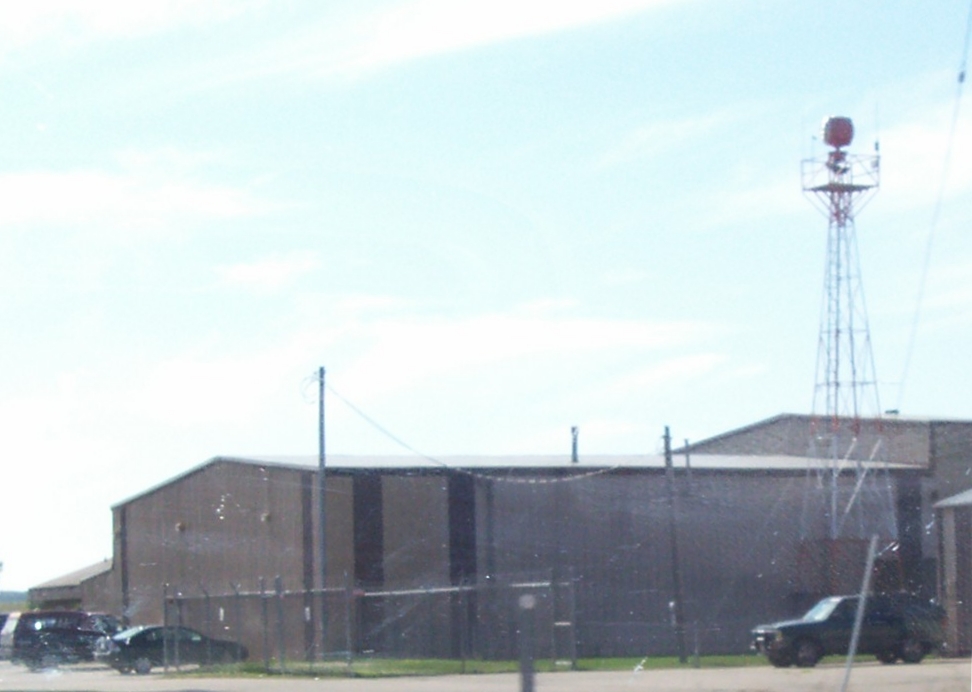
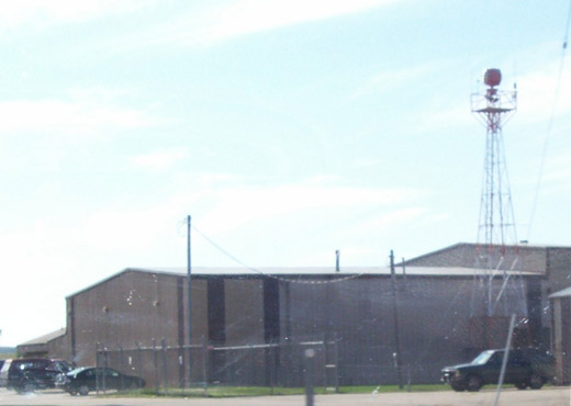
Images and information placed above are from
http://www.airport-data.com/airport/PCZ/
We thank them for the data!
| General Info
|
| Country |
United States
|
| State |
WISCONSIN
|
| FAA ID |
PCZ
|
| Latitude |
44-20-01.276N
|
| Longitude |
089-00-55.795W
|
| Elevation |
826 feet
|
| Near City |
WAUPACA
|
We don't guarantee the information is fresh and accurate. The data may
be wrong or outdated.
For more up-to-date information please refer to other sources.
|
|