|
|
Coordinates: 43°02′28″N 088°14′13″W / 43.04111°N 88.23694°W / 43.04111; -88.23694
Waukesha County Airport
Crites Field |
| IATA: UES – ICAO: KUES – FAA LID: UES |
| Summary |
| Airport type |
Public |
| Owner/Operator |
Waukesha County |
| Location |
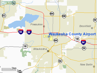
Pewaukee, Wisconsin |
| Elevation AMSL |
911 ft / 278 m |
| Website |
www.CritesField.com |
| Runways |
| Direction |
Length |
Surface |
| ft |
m |
| 10/28 |
5,848 |
1,782 |
Concrete |
| 18/36 |
3,598 |
1,097 |
Asphalt |
| Statistics (2005) |
| Aircraft operations |
91,024 |
| Based aircraft |
256 |
| Sources: FAA and airport website |
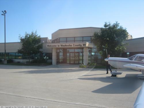
Waukesha County Airport (IATA: UES, ICAO: KUES, FAA LID: UES), also known as Crites Field, is a public-use airport located two miles (3 km) north of the central business district of Waukesha, a city in Waukesha County, Wisconsin, United States. It is owned and operated by Waukesha County.
Flight for Life-Wisconsin announced in October 2007 that it will move its operations to this airport in the summer of 2008.
Facilities and aircraft
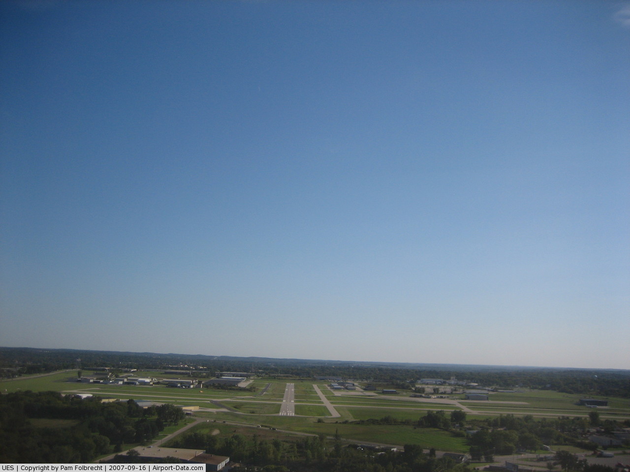
Waukesha County Airport covers an area of 543 acres (220 ha) which contains two runways: 10/28 with a concrete pavement measuring 5,848 x 100 ft (1,782 x 30 m) and 18/36 with an asphalt surface measuring 3,598 x 75 ft (1,097 x 23 m).
For the 12-month period ending December 31, 2005, the airport had 91,024 aircraft operations, an average of 249 per day: 98% general aviation, 2% air taxi and <1% military. There are 256 aircraft based at this airport: 82% single-engine, 12% multi-engine, 6% jet and <1% glider.
The above content comes from Wikipedia and is published under free licenses – click here to read more.
 |
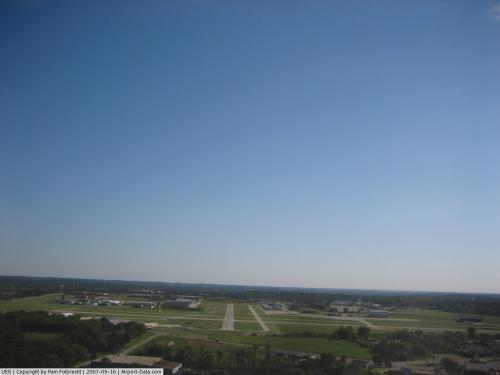
(Click on the photo to enlarge) |
 |
(Click on the photo to enlarge) |
 |
(Click on the photo to enlarge) |
Location & QuickFacts
| FAA Information Effective: | 2008-09-25 |
| Airport Identifier: | UES |
| Airport Status: | Operational |
| Longitude/Latitude: | 088-14-13.4000W/43-02-27.7000N
-88.237056/43.041028 (Estimated) |
| Elevation: | 911 ft / 277.67 m (Surveyed) |
| Land: | 543 acres |
| From nearest city: | 2 nautical miles N of Waukesha, WI |
| Location: | Waukesha County, WI |
| Magnetic Variation: | 01W (1990) |
Owner & Manager
| Ownership: | Publicly owned |
| Owner: | Waukesha County |
| Address: | 1320 Pewaukee Road
Waukesha, WI 53188 |
| Phone number: | 262-548-7010 |
| Manager: | Keith Markano |
| Address: | 2525 Aviation Dr
Waukesha, WI 53188 |
| Phone number: | 262-521-5250 |
Airport Operations and Facilities
| Airport Use: | Open to public |
| Wind indicator: | Yes |
| Segmented Circle: | Yes |
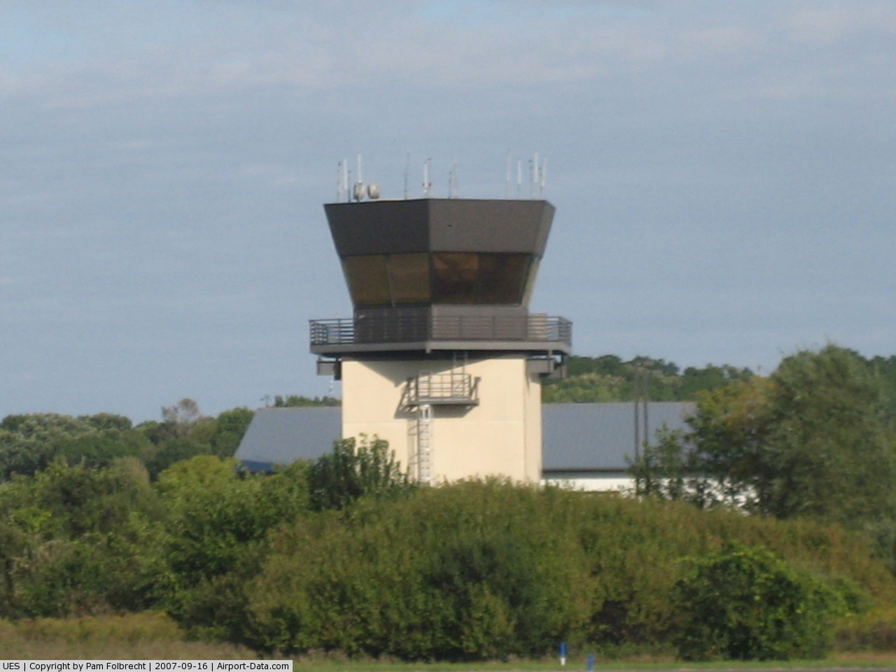
| Control Tower: | Yes |
| Lighting Schedule: | DUSK-DAWN
HIRL RY 10/28 PRESET ON LOW INTST; TO INCR INTST & ACTVT MIRL RY 18/36 & REIL RY & 28; MALSR RY 10 - CTAF. |
| Beacon Color: | Clear-Green (lighted land airport) |
| Landing fee charge: | No |
| Sectional chart: | Chicago |
| Region: | AGL - Great Lakes |
| Boundary ARTCC: | ZAU - Chicago |
| Tie-in FSS: | GRB - Green Bay |
| FSS on Airport: | No |
| FSS Toll Free: | 1-800-WX-BRIEF |
| NOTAMs Facility: | UES (NOTAM-d service avaliable) |
| Federal Agreements: | NGY |
Airport Communications
| CTAF: | 123.700 |
| Unicom: | 122.950 |
Airport Services
| Fuel available: | 100LLA |
| Airframe Repair: | MAJOR |
| Power Plant Repair: | MAJOR |
| Bottled Oxygen: | NONE |
| Bulk Oxygen: | HIGH
CALL 262-549-6150 FOR OXY AVBLY. |
Runway Information
Runway 10/28
| Dimension: | 5848 x 100 ft / 1782.5 x 30.5 m |
| Surface: | CONC, Good Condition |
| Surface Treatment: | Saw-cut or plastic Grooved |
| Weight Limit: | Single wheel: 40000 lbs.
Dual wheel: 66000 lbs. |
| Edge Lights: | High |
| |
Runway 10 |
Runway 28 |
| Longitude: | 088-14-58.9749W | 088-13-41.9337W |
| Latitude: | 43-02-38.2045N | 43-02-26.2323N |
| Elevation: | 897.00 ft | 906.00 ft |
| Alignment: | 102 | 127 |
| ILS Type: | ILS
| |
| Traffic Pattern: | Left | Left |
| Markings: | Precision instrument, Fair Condition | Precision instrument, Fair Condition |
| Crossing Height: | 56.00 ft | 37.00 ft |
| VASI: | 4-box on left side | 4-box on left side |
| Visual Glide Angle: | 3.00° | 3.75° |
| Approach lights: | MALSR | |
| Runway End Identifier: | No | Yes |
| Obstruction: | , 50:1 slope to clear | 75 ft tree, 1700.0 ft from runway, 350 ft left of centerline, 20:1 slope to clear |
|
Runway 18/36
| Dimension: | 3598 x 75 ft / 1096.7 x 22.9 m |
| Surface: | ASPH, Good Condition |
| Weight Limit: | Single wheel: 20000 lbs. |
| Edge Lights: | Medium |
| |
Runway 18 |
Runway 36 |
| Longitude: | 088-13-59.6054W | 088-14-04.0301W |
| Latitude: | 43-02-37.9993N | 43-02-02.6068N |
| Elevation: | 906.00 ft | 911.00 ft |
| Alignment: | 127 | 5 |
| Traffic Pattern: | Left | Left |
| Markings: | Non-precision instrument, Good Condition | Non-precision instrument, Good Condition |
| VASI: | 2-light PAPI on left side | 2-light PAPI on left side |
| Obstruction: | 12 ft road, 470.0 ft from runway, 150 ft left of centerline, 22:1 slope to clear | 21 ft road, 630.0 ft from runway, 20:1 slope to clear |
|
Radio Navigation Aids
| ID |
Type |
Name |
Ch |
Freq |
Var |
Dist |
| UES | NDB | Waukesha | | 359.00 | 01W | 0.2 nm |
| GM | NDB | Teels | | 242.00 | 02W | 11.7 nm |
| BL | NDB | Yanks | | 260.00 | 02W | 15.9 nm |
| HXF | NDB | Hartford | | 200.00 | 00E | 19.7 nm |
| RYV | NDB | Rock River | | 371.00 | 01W | 22.9 nm |
| LLE | NDB | Kettle Moraine | | 329.00 | 01W | 23.6 nm |
| LVV | NDB | Lake Lawn | | 404.00 | 00W | 25.9 nm |
| RA | NDB | Paser | | 206.00 | 00E | 26.2 nm |
| UNU | NDB | Juneau | | 344.00 | 01W | 31.0 nm |
| JVL | NDB | Janesville | | 375.00 | 03E | 43.7 nm |
| MS | NDB | Monah | | 400.00 | 00E | 48.7 nm |
| BJB | VOR | West Bend | | 109.80 | 01W | 23.4 nm |
| LJT | VOR/DME | Timmerman | 072X | 112.50 | 02W | 9.7 nm |
| BUU | VOR/DME | Burbun | 092X | 114.50 | 01W | 21.3 nm |
| HRK | VOR/DME | Horlick | 124X | 117.70 | 02W | 25.1 nm |
| ENW | VOR/DME | Kenosha | 029X | 109.20 | 02W | 29.8 nm |
| FAH | VOR/DME | Falls | 37X | 110.00 | 02W | 46.9 nm |
| JVL | VOR/DME | Janesville | 090X | 114.30 | 03E | 48.1 nm |
| BAE | VORTAC | Badger | 111X | 116.40 | 02E | 5.0 nm |
| MSN | VORTAC | Madison | 023X | 108.60 | 03E | 48.8 nm |
| MKE | VOT | Milwaukee | | 109.00 | | 16.0 nm |
Remarks
- DEER & COYOTES ON & INVOF ARPT.
- TWY D CLSD AT RY 18/36 INDEFLY.
Images and information placed above are from
http://www.airport-data.com/airport/UES/
We thank them for the data!
| General Info
|
| Country |
United States
|
| State |
WISCONSIN
|
| FAA ID |
UES
|
| Latitude |
43-02-27.700N
|
| Longitude |
088-14-13.400W
|
| Elevation |
911 feet
|
| Near City |
WAUKESHA
|
We don't guarantee the information is fresh and accurate. The data may
be wrong or outdated.
For more up-to-date information please refer to other sources.
|
|