|
|
| Watertown Municipal Airport |
 |
| IATA: none – ICAO: KRYV – FAA LID: RYV |
| Summary |
| Airport type |
Public |
| Owner |
City of Watertown |
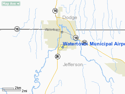
| Serves |
Watertown, Wisconsin |
| Elevation AMSL |
833 ft / 254 m |
| Coordinates |
43°10′11″N 088°43′24″W / 43.16972°N 88.72333°W / 43.16972; -88.72333 |
| Runways |
| Direction |
Length |
Surface |
| ft |
m |
| 5/23 |
4,429 |
1,350 |
Asphalt |
| 11/29 |
2,801 |
854 |
Asphalt |
| Statistics (2006) |
| Aircraft operations |
58,000 |
| Based aircraft |
63 |
| Stats for 12 months ending 7/12/2006. Source: Federal Aviation Administration |
Watertown Municipal Airport (ICAO: KRYV, FAA LID: RYV) is a public use airport located in and owned by the city of Watertown, in Jefferson County, Wisconsin, United States.
Watertown Municipal Airport was the site of the first Transponder Landing System in the United States.
Although most U.S. airports use the same three-letter location identifier for the FAA and IATA, this airport is assigned RYV by the FAA but has no designation from the IATA. Facilities and aircraft
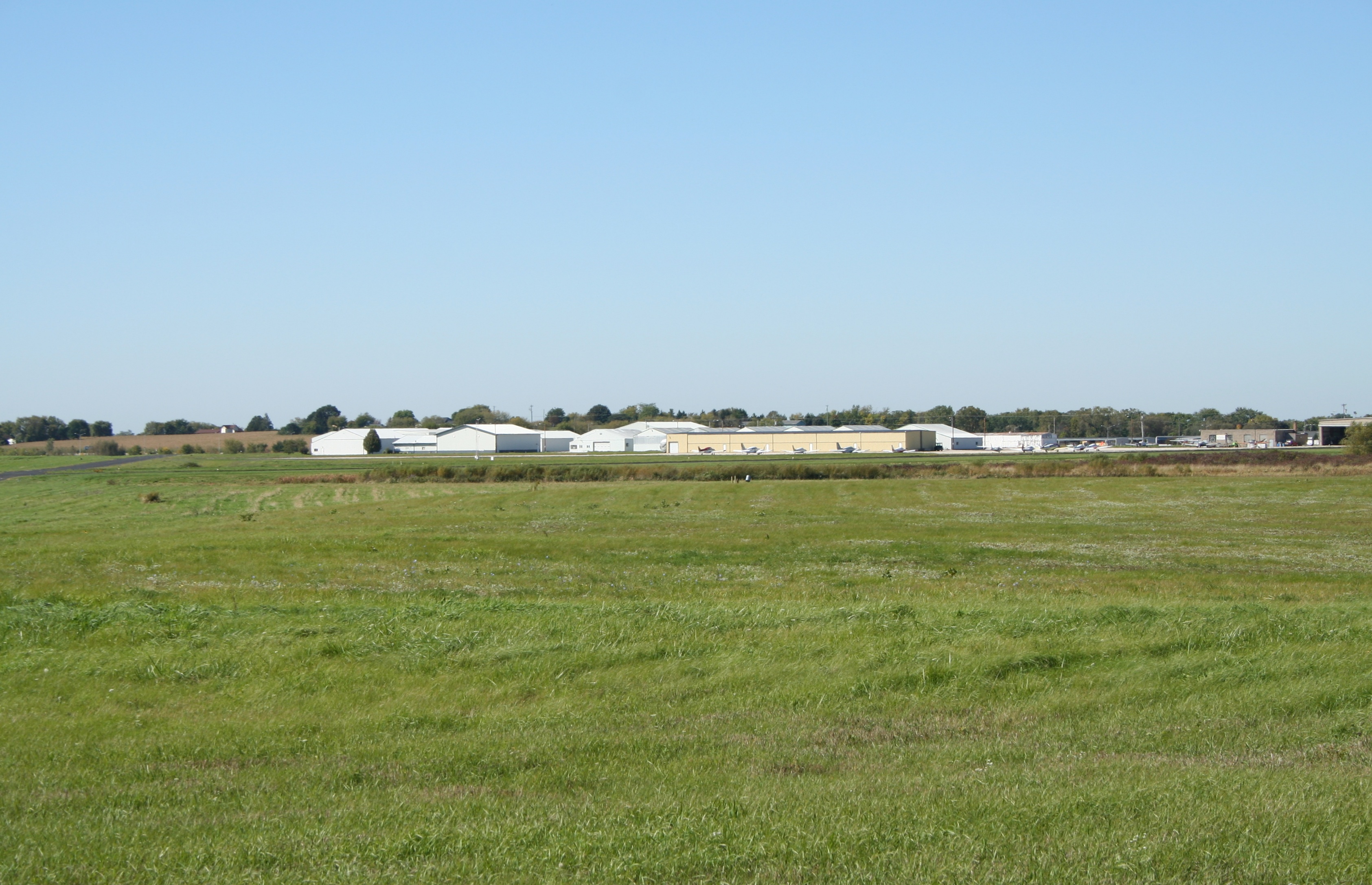
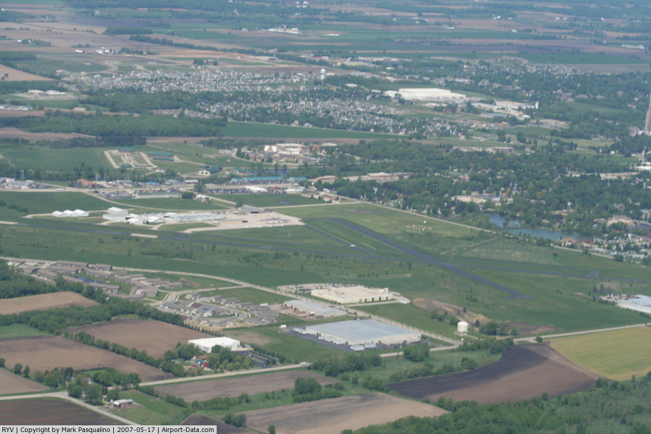
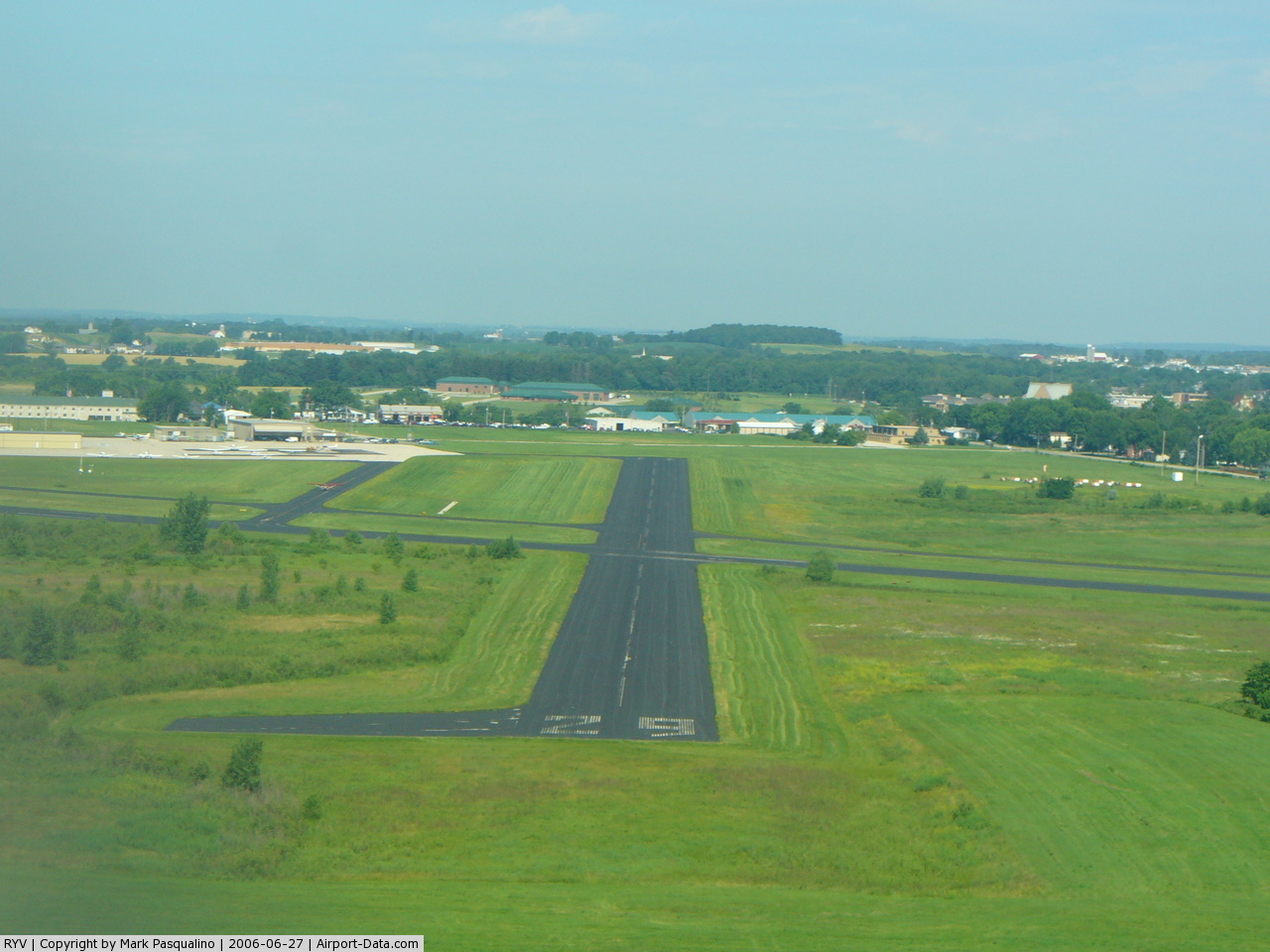
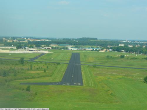
Watertown Municipal Airport covers an area of 360 acres (146 ha) at an elevation of 833 feet (254 m) above mean sea level. It has two runways:
- Runway 5/23: 4,429 x 75 ft. (1,350 x 23 m.), Surface: Asphalt
- Runway 11/29: 2,801 x 75 ft. (854 x 23 m.), Surface: Asphalt
- ROCK RIVER (RYV) non-directional beacon, 371 kHz, is located on field.
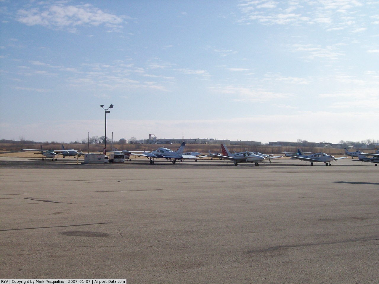
For the 12-month period ending July 12, 2006, the airport had 58,000 aircraft operations, an average of 158 per day: 89% general aviation, 9% air taxi and 2% military. At that time there were 63 aircraft based at this airport: 78% single-engine, 21% multi-engine and 2% jet.
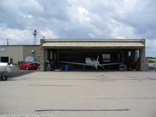
Aero park
There is an aero-park, sponsored by the local Marine League, located adjacent to the airport where air operations can be observed.43°10′27″N 88°43′3″W / 43.17417°N 88.7175°W / 43.17417; -88.7175
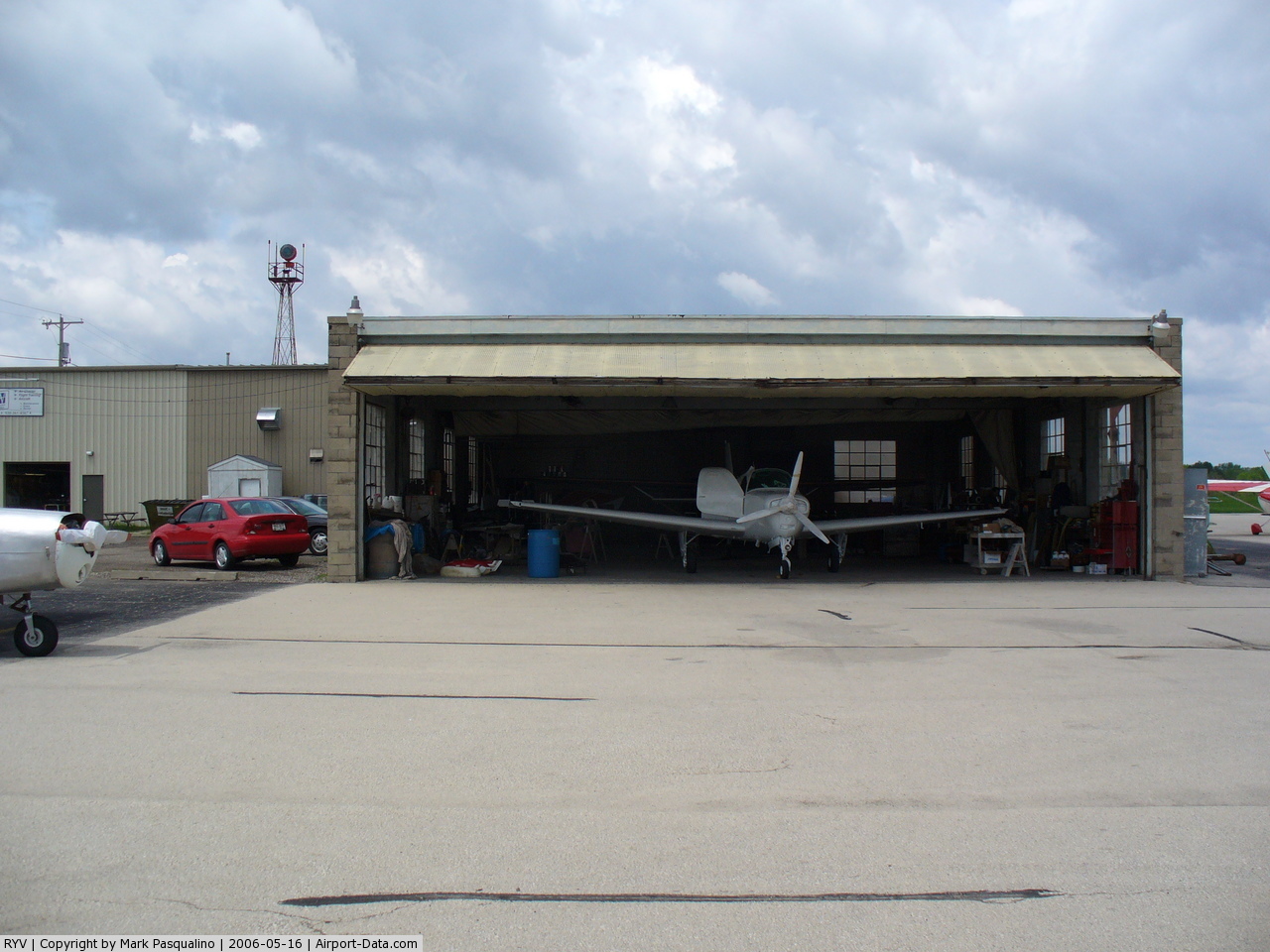
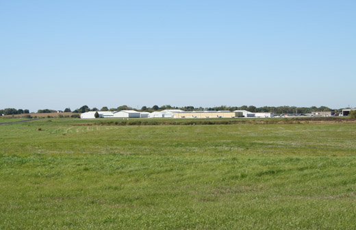
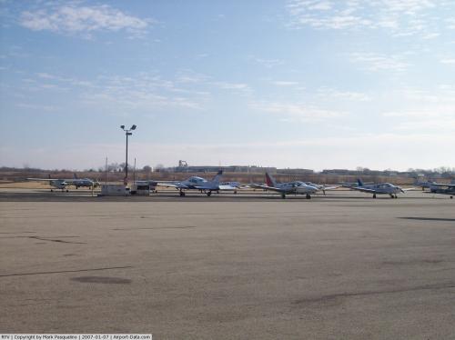
Gallery
The above content comes from Wikipedia and is published under free licenses – click here to read more.
 |
(Click on the photo to enlarge) |
 |
(Click on the photo to enlarge) |
 |
(Click on the photo to enlarge) |
 |
(Click on the photo to enlarge) |
Location & QuickFacts
| FAA Information Effective: | 2008-09-25 |
| Airport Identifier: | RYV |
| Airport Status: | Operational |
| Longitude/Latitude: | 088-43-23.6000W/43-10-10.7000N
-88.723222/43.169639 (Estimated) |
| Elevation: | 833 ft / 253.90 m (Surveyed) |
| Land: | 360 acres |
| From nearest city: | 0 nautical miles S of Watertown, WI |
| Location: | Jefferson County, WI |
| Magnetic Variation: | 01W (1990) |
Owner & Manager
| Ownership: | Publicly owned |
| Owner: | City Of Watertown |
| Address: | 106 Jones
Watertown, WI 53094 |
| Phone number: | 920-262-4000 |
| Manager: | Jeff Baum |
| Address: | 1741 River Drive
Watertown, WI 53094 |
| Phone number: | 920-261-4567 |
Airport Operations and Facilities
| Airport Use: | Open to public |
| Wind indicator: | Yes |
| Segmented Circle: | Yes |
| Control Tower: | No |
| Lighting Schedule: | DUSK-DAWN
ACTVT MIRL RYS 05/23 & 11/29, PAPI RYS 05 & 23 & REIL RYS 05 & 23 - CTAF. |
| Beacon Color: | Clear-Green (lighted land airport) |
| Landing fee charge: | No |
| Sectional chart: | Chicago |
| Region: | AGL - Great Lakes |
| Boundary ARTCC: | ZAU - Chicago |
| Tie-in FSS: | GRB - Green Bay |
| FSS on Airport: | No |
| FSS Toll Free: | 1-800-WX-BRIEF |
| NOTAMs Facility: | RYV (NOTAM-d service avaliable) |
| Federal Agreements: | NGY |
Airport Communications
| CTAF: | 122.800 |
| Unicom: | 122.800 |
Airport Services
| Fuel available: | 100LLA |
| Airframe Repair: | MAJOR |
| Power Plant Repair: | MAJOR |
| Bulk Oxygen: | LOW |
Runway Information
Runway 05/23
| Dimension: | 4429 x 75 ft / 1350.0 x 22.9 m |
| Surface: | ASPH, Fair Condition |
| Weight Limit: | Single wheel: 30000 lbs.
Dual wheel: 60000 lbs. |
| Edge Lights: | Medium |
| |
Runway 05 |
Runway 23 |
| Longitude: | 088-43-50.7650W | 088-43-02.9206W |
| Latitude: | 43-09-54.7873N | 43-10-20.9948N |
| Elevation: | 817.00 ft | 823.00 ft |
| Alignment: | 53 | 127 |
| Traffic Pattern: | Right | Left |
| Markings: | Precision instrument, Fair Condition | Precision instrument, Fair Condition |
| Crossing Height: | 50.00 ft | 45.00 ft |
| Displaced threshold: | 190.00 ft | 0.00 ft |
| VASI: | 2-light PAPI on left side | 2-light PAPI on left side |
| Visual Glide Angle: | 3.00° | 3.00° |
| Runway End Identifier: | Yes | Yes |
| Obstruction: | 81 ft tree, 1600.0 ft from runway, 400 ft left of centerline, 17:1 slope to clear
RY 05 APCH RATIO 22:1 AT DSPLCD THR. | 54 ft tree, 850.0 ft from runway, 300 ft left of centerline, 12:1 slope to clear |
| Decleard distances: | Take off run available 4430.00 ft
Take off distance available 5110.00 ft
Actual stop distance available 4550.00 ft
Landing distance available 4430.00 ft
120 FT PAVED STWY NE END. | Take off run available 4430.00 ft
Take off distance available 4845.00 ft
Actual stop distance available 4430.00 ft
Landing distance available 4430.00 ft
|
|
Runway 11/29
| Dimension: | 2801 x 75 ft / 853.7 x 22.9 m |
| Surface: | ASPH, Good Condition |
| Weight Limit: | Single wheel: 30000 lbs. |
| Edge Lights: | Medium |
| |
Runway 11 |
Runway 29 |
| Longitude: | 088-43-35.9156W | 088-43-00.8560W |
| Latitude: | 43-10-20.2408N | 43-10-09.9189N |
| Elevation: | 823.00 ft | 833.00 ft |
| Alignment: | 112 | 127 |
| Traffic Pattern: | Right | Left |
| Markings: | Basic, Fair Condition | Basic, Fair Condition |
| Obstruction: | 11 ft road, 420.0 ft from runway, 260 ft right of centerline, 20:1 slope to clear | 29 ft road, 750.0 ft from runway, 330 ft right of centerline, 19:1 slope to clear |
|
Radio Navigation Aids
| ID |
Type |
Name |
Ch |
Freq |
Var |
Dist |
| RYV | NDB | Rock River | | 371.00 | 01W | 0.3 nm |
| UNU | NDB | Juneau | | 344.00 | 01W | 15.6 nm |
| HXF | NDB | Hartford | | 200.00 | 00E | 17.9 nm |
| UES | NDB | Waukesha | | 359.00 | 01W | 22.7 nm |
| MS | NDB | Monah | | 400.00 | 00E | 28.1 nm |
| LVV | NDB | Lake Lawn | | 404.00 | 00W | 28.9 nm |
| LLE | NDB | Kettle Moraine | | 329.00 | 01W | 30.3 nm |
| GM | NDB | Teels | | 242.00 | 02W | 33.8 nm |
| JVL | NDB | Janesville | | 375.00 | 03E | 36.2 nm |
| BL | NDB | Yanks | | 260.00 | 02W | 37.7 nm |
| RA | NDB | Paser | | 206.00 | 00E | 46.6 nm |
| BJB | VOR | West Bend | | 109.80 | 01W | 30.2 nm |
| LJT | VOR/DME | Timmerman | 072X | 112.50 | 02W | 30.3 nm |
| BUU | VOR/DME | Burbun | 092X | 114.50 | 01W | 34.3 nm |
| JVL | VOR/DME | Janesville | 090X | 114.30 | 03E | 40.4 nm |
| HRK | VOR/DME | Horlick | 124X | 117.70 | 02W | 46.9 nm |
| ENW | VOR/DME | Kenosha | 029X | 109.20 | 02W | 48.9 nm |
| BAE | VORTAC | Badger | 111X | 116.40 | 02E | 19.5 nm |
| MSN | VORTAC | Madison | 023X | 108.60 | 03E | 27.1 nm |
| OSH | VORTAC | Oshkosh | 055X | 111.80 | 02E | 49.9 nm |
| MKE | VOT | Milwaukee | | 109.00 | | 38.7 nm |
Remarks
- DEER ON & INVOF ARPT.
- DUCKS & SEAGULLS OCCASSIONALLY NEAR ARPT DURING SEASONAL MIGRATIONS.
- FLAGGED 205 FT CRANE 1 MILE NW OF AER 11, MULTIBLE 100 FT CRANES 1/2 MILE NW OF AER 11. UNLGTD FLAGGED CRANE 1/2 MILE NE AER 11.
Images and information placed above are from
http://www.airport-data.com/airport/RYV/
We thank them for the data!
| General Info
|
| Country |
United States
|
| State |
WISCONSIN
|
| FAA ID |
RYV
|
| Latitude |
43-10-10.676N
|
| Longitude |
088-43-23.564W
|
| Elevation |
833 feet
|
| Near City |
WATERTOWN
|
We don't guarantee the information is fresh and accurate. The data may
be wrong or outdated.
For more up-to-date information please refer to other sources.
|
|