|
|
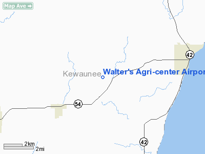
Walter's Agri-center Airport |
 |
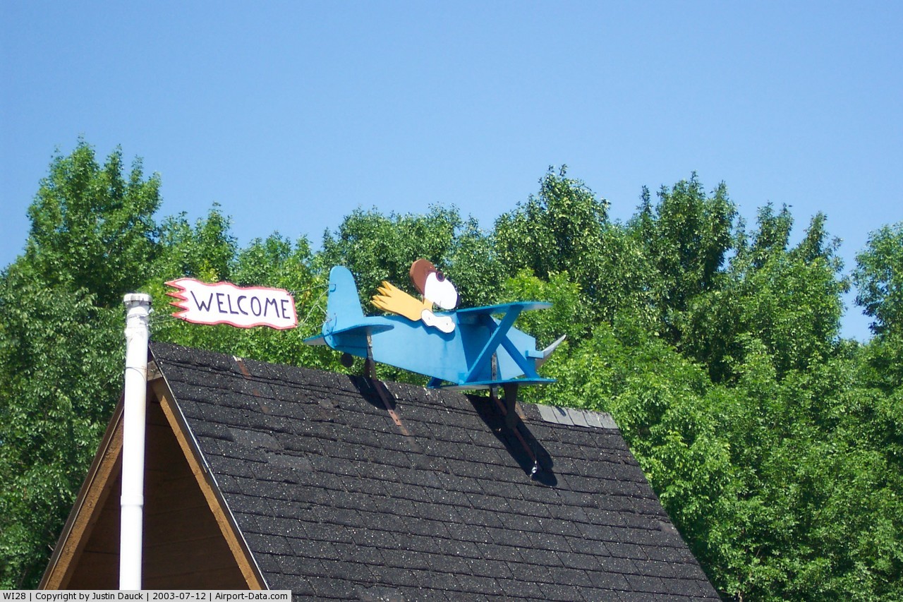
(Click on the photo to enlarge) |
 |
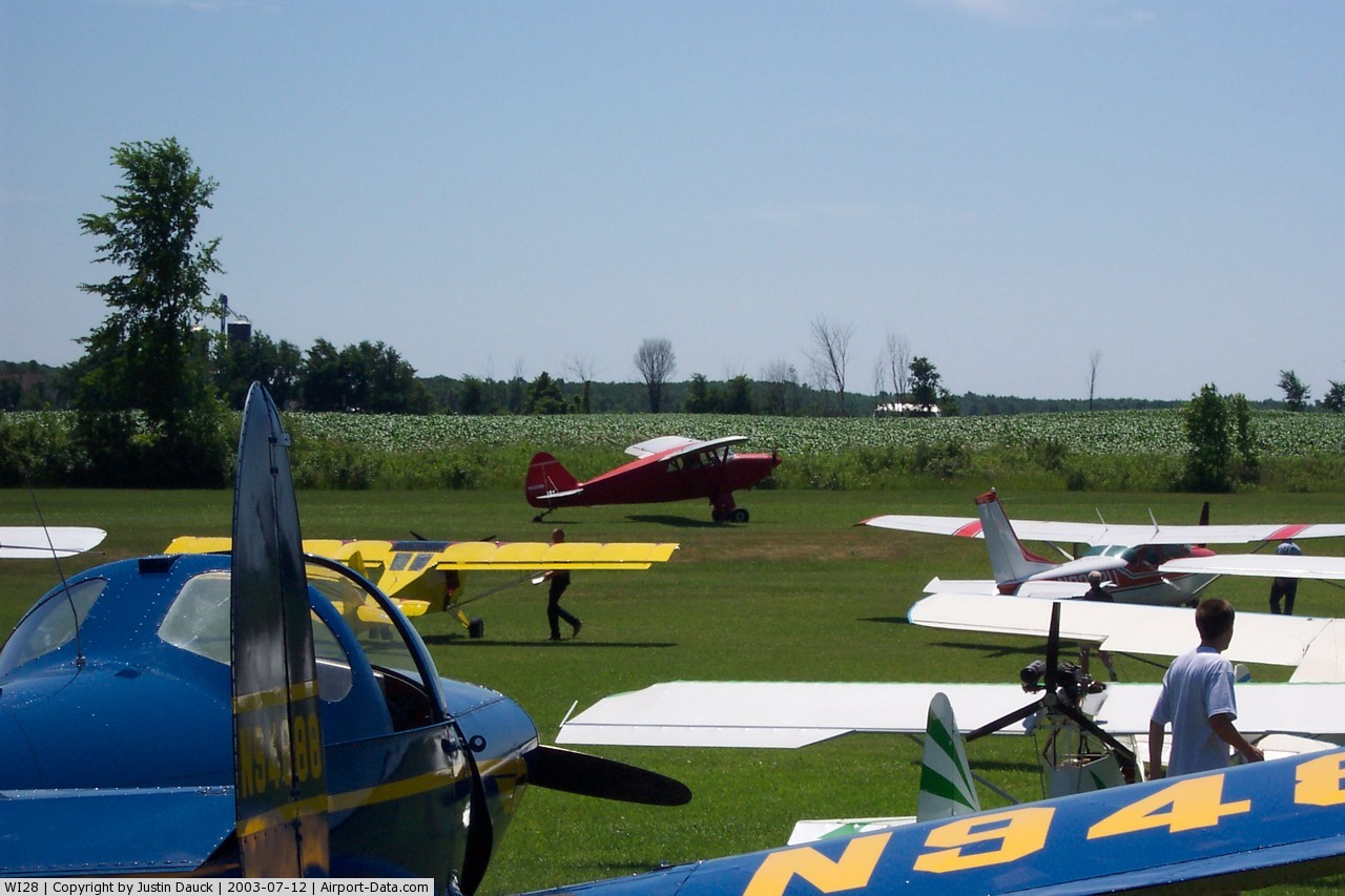
(Click on the photo to enlarge) |
 |
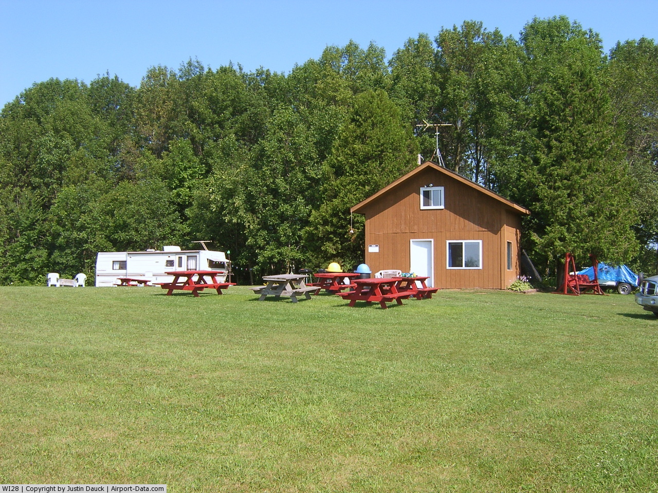
(Click on the photo to enlarge) |
Location & QuickFacts
| FAA Information Effective: | 2008-09-25 |
| Airport Identifier: | WI28 |
| Airport Status: | Operational |
| Longitude/Latitude: | 087-33-27.3230W/44-35-09.9920N
-87.557590/44.586109 (Estimated) |
| Elevation: | 717 ft / 218.54 m (Surveyed) |
| Land: | 45 acres |
| From nearest city: | 0 nautical miles W of Rio Creek, WI |
| Location: | Kewaunee County, WI |
| Magnetic Variation: | 02W (1985) |
Owner & Manager
| Ownership: | Privately owned |
| Owner: | Donald H. Walter |
| Address: | E 4447 Hwy 54
Algoma, WI 54201 |
| Phone number: | 920-837-7222 |
| Manager: | Donald H. Walter |
| Address: | E 4447 Hwy 54
Algoma, WI 54201 |
| Phone number: | 920-837-7222
OTHER PHONE NUMBER 414-837-7777. |
Airport Operations and Facilities
| Airport Use: | Private |
| Wind indicator: | Yes |
| Segmented Circle: | No |
| Control Tower: | No |
| Landing fee charge: | No |
| Sectional chart: | Green Bay |
| Region: | AGL - Great Lakes |
| Traffic Pattern Alt: | 1000 ft |
| Boundary ARTCC: | ZMP - Minneapolis |
| Tie-in FSS: | GRB - Green Bay |
| FSS on Airport: | No |
| FSS Toll Free: | 1-800-WX-BRIEF
LCL PHONE NUMBER 494-7417. |
Airport Services
| Airframe Repair: | NONE |
| Power Plant Repair: | NONE |
| Bottled Oxygen: | NONE |
| Bulk Oxygen: | NONE |
Runway Information
Runway 07/25
| Dimension: | 1750 x 48 ft / 533.4 x 14.6 m
550 FT STWY SW END & 450 FT STWY NE END. |
| Surface: | TURF, Poor Condition
SFC ROLLING & UNEVEN. |
| |
Runway 07 |
Runway 25 |
| Traffic Pattern: | Left | Left |
| Markings: | None, | None, |
| Runway End Identifier: | No | No |
| Centerline Lights: | No | No |
| Touchdown Lights: | No | No |
| Obstruction: | 37 ft tree, 410.0 ft from runway, 75 ft right of centerline, 11:1 slope to clear | 62 ft tree, 375.0 ft from runway, 110 ft right of centerline, 6:1 slope to clear |
|
Radio Navigation Aids
| ID |
Type |
Name |
Ch |
Freq |
Var |
Dist |
| SUE | NDB | Sturgeon Bay | | 414.00 | 03W | 16.1 nm |
| OCQ | NDB | Oconto | | 388.00 | 03W | 23.1 nm |
| SG | NDB | Depre | | 332.00 | 02W | 27.1 nm |
| AQ | NDB | Kooky | | 407.00 | 02W | 42.4 nm |
| MTW | VOR/DME | Manitowoc | 047X | 111.00 | 02W | 28.0 nm |
| MNM | VOR/DME | Menominee | 033X | 109.60 | 00E | 35.9 nm |
| GRB | VORTAC | Green Bay | 102X | 115.50 | 01E | 27.4 nm |
Remarks
- RY 25 +15 FT HGR 95 FT R AT THLD; 30 FT TREES 75 FT R AT THLD.
- (52-07) RR PARALLEL TO RWY 110'SE.
Images and information placed above are from
http://www.airport-data.com/airport/WI28/
We thank them for the data!
| General Info
|
| Country |
United States
|
| State |
WISCONSIN
|
| FAA ID |
WI28
|
| Latitude |
44-35-09.992N
|
| Longitude |
087-33-27.323W
|
| Elevation |
717 feet
|
| Near City |
RIO CREEK
|
We don't guarantee the information is fresh and accurate. The data may
be wrong or outdated.
For more up-to-date information please refer to other sources.
|
|