|
|
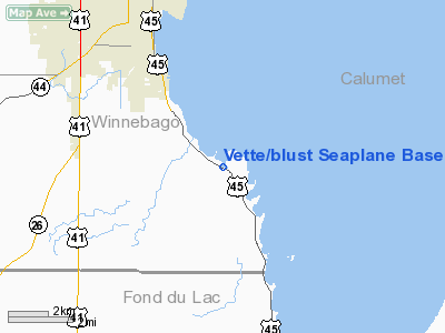
Vette/blust Seaplane Base Airport |
 |
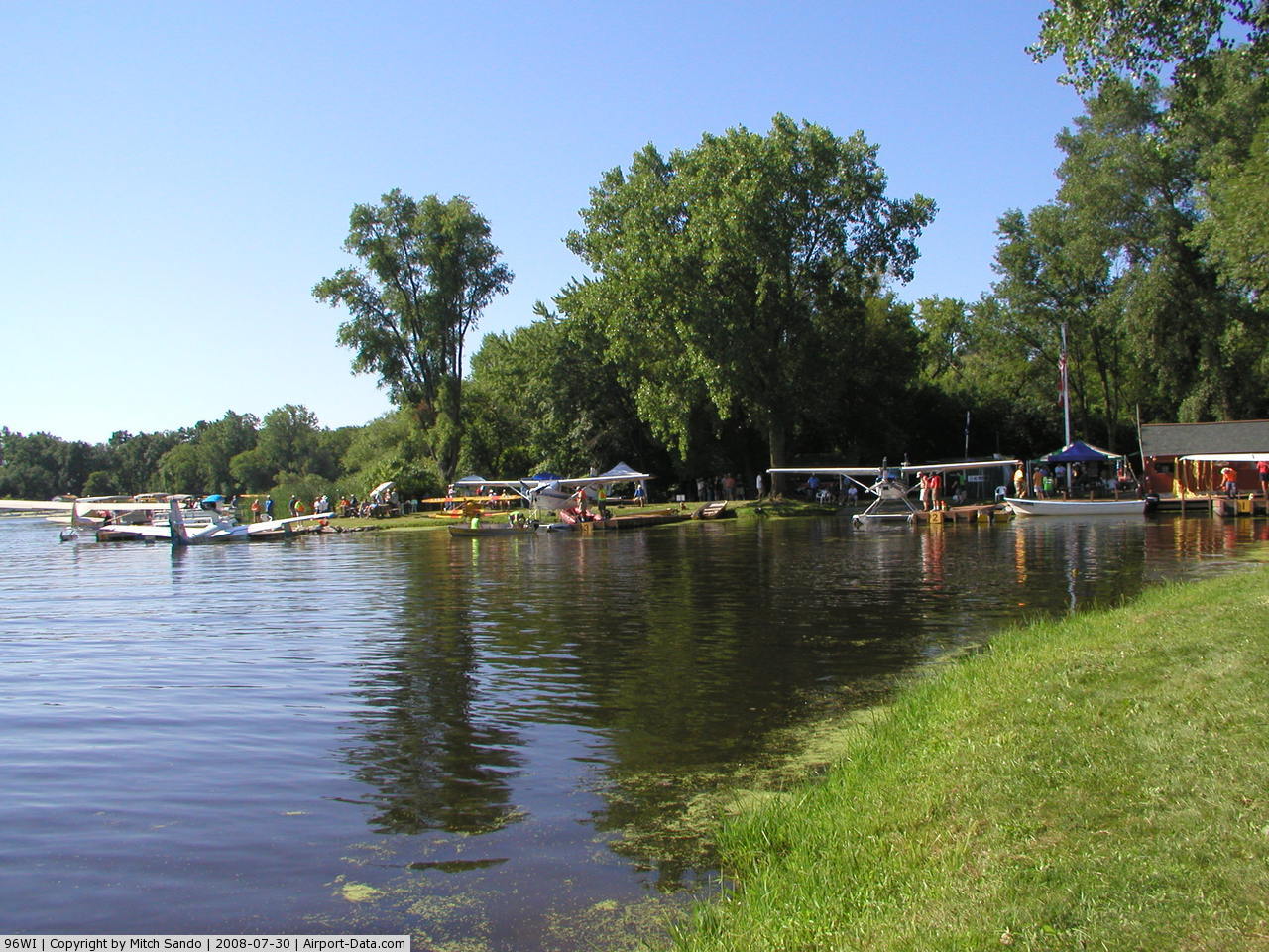
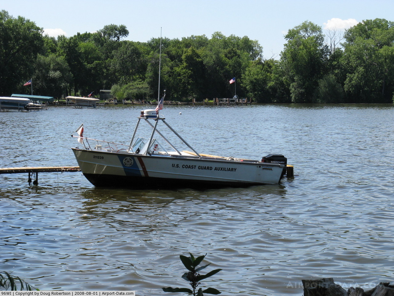
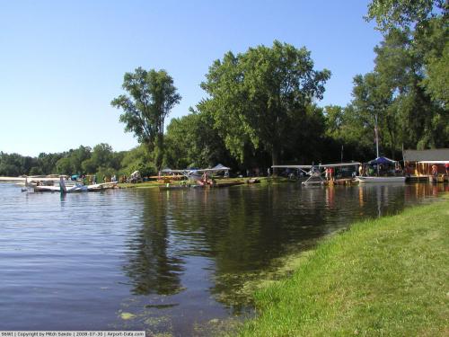
(Click on the photo to enlarge) |
 |
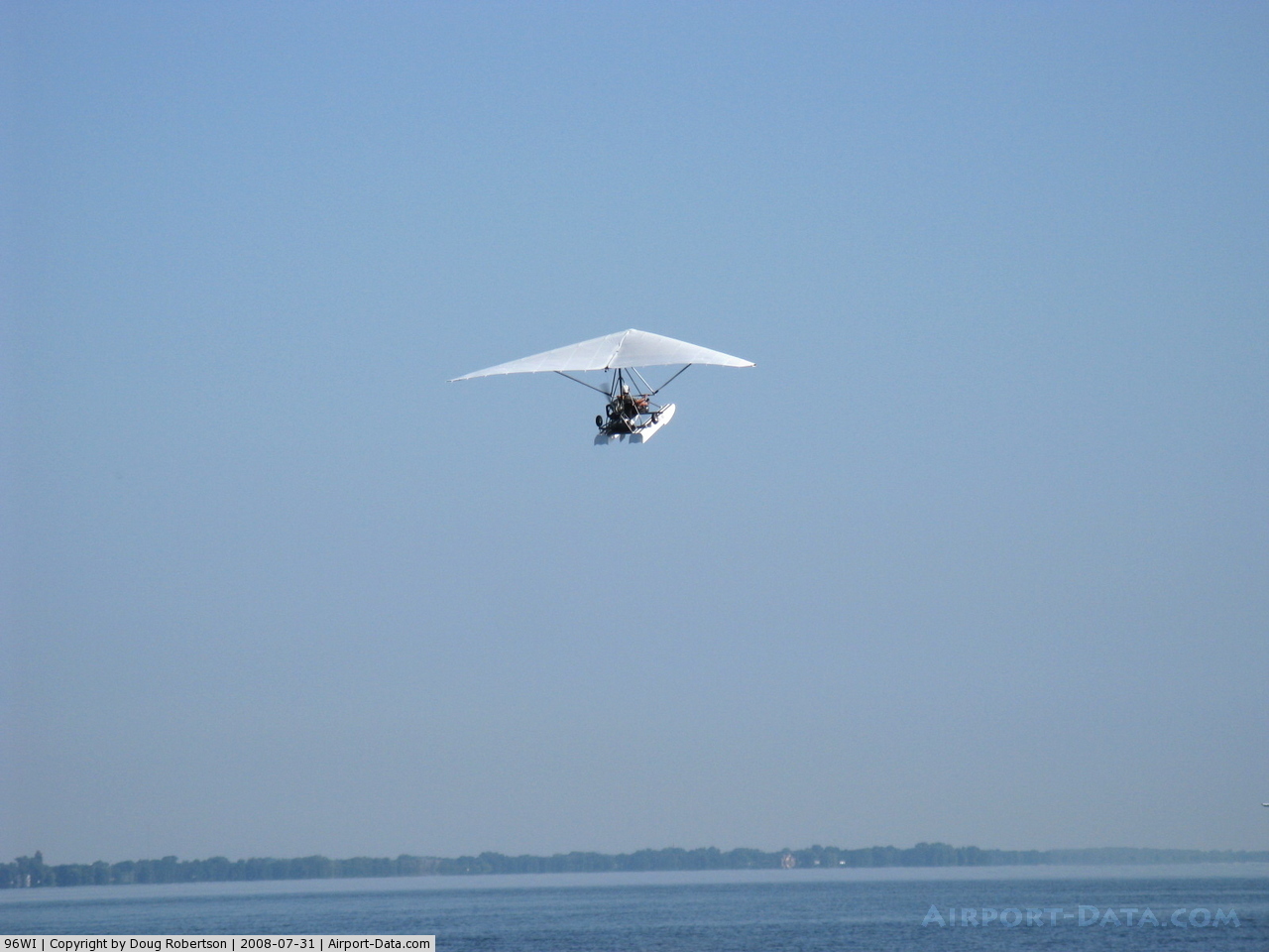
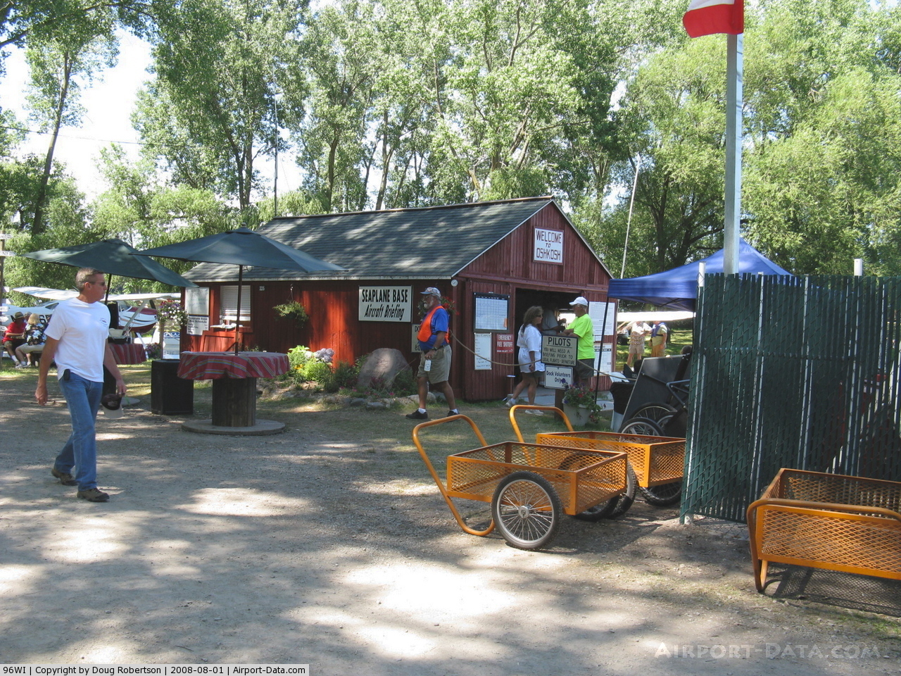
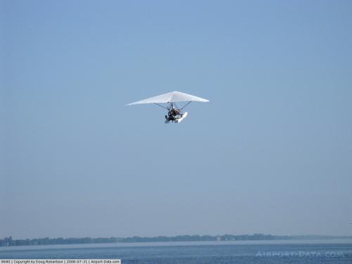
(Click on the photo to enlarge) |
 |
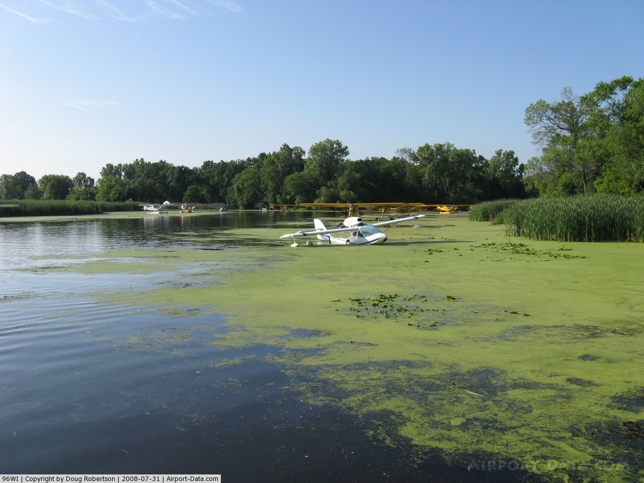
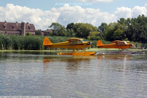
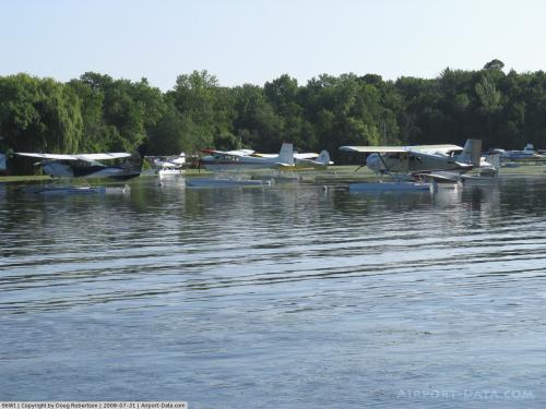
(Click on the photo to enlarge) |
 |
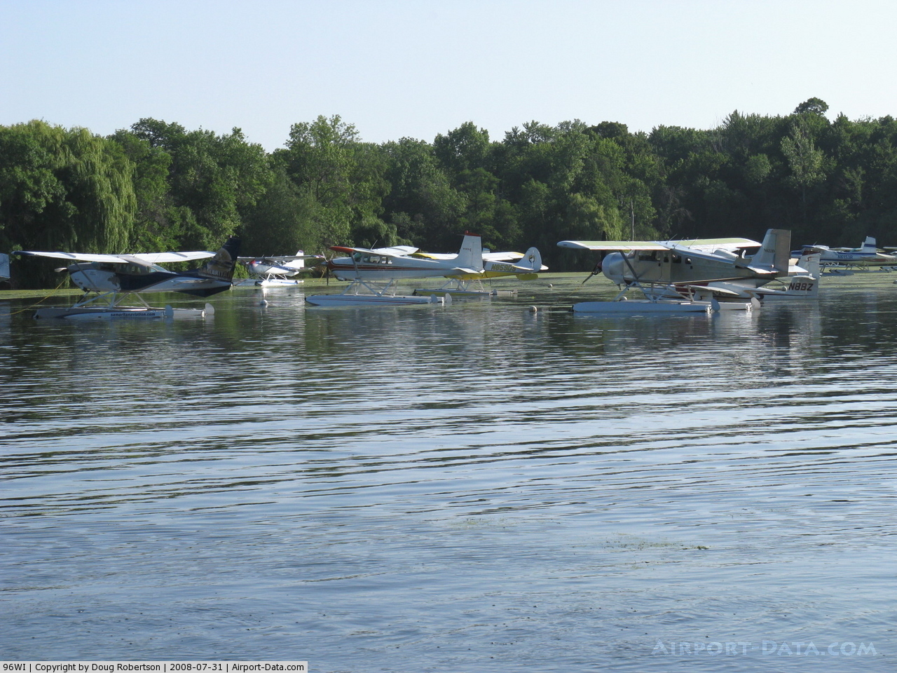
(Click on the photo to enlarge) |
 |
(Click on the photo to enlarge) |
 |
(Click on the photo to enlarge) |
 |
(Click on the photo to enlarge) |
 |
(Click on the photo to enlarge) |
 |
(Click on the photo to enlarge) |
 |
(Click on the photo to enlarge) |
 |
(Click on the photo to enlarge) |
 |
(Click on the photo to enlarge) |
Location & QuickFacts
| FAA Information Effective: | 2008-09-25 |
| Airport Identifier: | 96WI |
| Airport Status: | Operational |
| Longitude/Latitude: | 088-29-37.4060W/43-56-27.9470N
-88.493724/43.941096 (Estimated) |
| Elevation: | 750 ft / 228.60 m (Estimated) |
| Land: | 0 acres |
| From nearest city: | 5 nautical miles W of Oshkosh, WI |
| Location: | Winnebago County, WI |
| Magnetic Variation: | 01W (1985) |
Owner & Manager
| Ownership: | Privately owned |
| Owner: | M & I Trust Co. |
| Address: | John Vette Jr Farm Trust, 1000 N. Water St
Milwaukee, WI 53202 |
| Phone number: | 920-233-3732 |
| Manager: | John Vette |
| Address: | 5050 Lake Road
Oshkosh, WI 54901 |
| Phone number: | 414-231-7370 |
Airport Operations and Facilities
| Airport Use: | Private |
| Wind indicator: | No |
| Segmented Circle: | No |
| Control Tower: | No |
| Lighting Schedule: | NONE |
| Sectional chart: | Chicago |
| Region: | AGL - Great Lakes |
| Boundary ARTCC: | ZAU - Chicago |
| Tie-in FSS: | GRB - Green Bay |
| FSS on Airport: | No |
| FSS Toll Free: | 1-800-WX-BRIEF |
Runway Information
Runway 07/25
| Dimension: | 1300 x 60 ft / 396.2 x 18.3 m |
| Surface: | TURF, |
| |
Runway 07 |
Runway 25 |
| Traffic Pattern: | Left | Left |
|
Runway N/S
| Dimension: | 10000 x 4000 ft / 3048.0 x 1219.2 m |
| Surface: | WATER, |
| |
Runway N |
Runway S |
| Traffic Pattern: | Left | Left |
|
Radio Navigation Aids
| ID |
Type |
Name |
Ch |
Freq |
Var |
Dist |
| AQ | NDB | Kooky | | 407.00 | 02W | 17.0 nm |
| SG | NDB | Depre | | 332.00 | 02W | 31.6 nm |
| UNU | NDB | Juneau | | 344.00 | 01W | 32.1 nm |
| PCZ | NDB | Waupaca | | 382.00 | 01W | 32.6 nm |
| LLE | NDB | Kettle Moraine | | 329.00 | 01W | 34.9 nm |
| HXF | NDB | Hartford | | 200.00 | 00E | 35.9 nm |
| CLI | NDB | Clintonville | | 209.00 | 02W | 42.0 nm |
| RYV | NDB | Rock River | | 371.00 | 01W | 47.2 nm |
| BJB | VOR | West Bend | | 109.80 | 01W | 35.1 nm |
| FAH | VOR/DME | Falls | 37X | 110.00 | 02W | 29.8 nm |
| MTW | VOR/DME | Manitowoc | 047X | 111.00 | 02W | 36.9 nm |
| OSH | VORTAC | Oshkosh | 055X | 111.80 | 02E | 4.0 nm |
| GRB | VORTAC | Green Bay | 102X | 115.50 | 01E | 39.1 nm |
Remarks
- PRVDD CLEAR 20:1 APCHS, CLEAR OBSTACLE FREE ZONE, AND CLEAR RUNWAY SAFETY AREA.
Images and information placed above are from
http://www.airport-data.com/airport/96WI/
We thank them for the data!
| General Info
|
| Country |
United States
|
| State |
WISCONSIN
|
| FAA ID |
96WI
|
| Latitude |
43-56-27.947N
|
| Longitude |
088-29-37.406W
|
| Elevation |
750 feet
|
| Near City |
OSHKOSH
|
We don't guarantee the information is fresh and accurate. The data may
be wrong or outdated.
For more up-to-date information please refer to other sources.
|
|