|
|
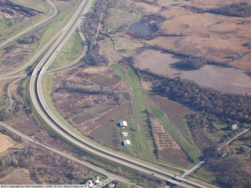 |
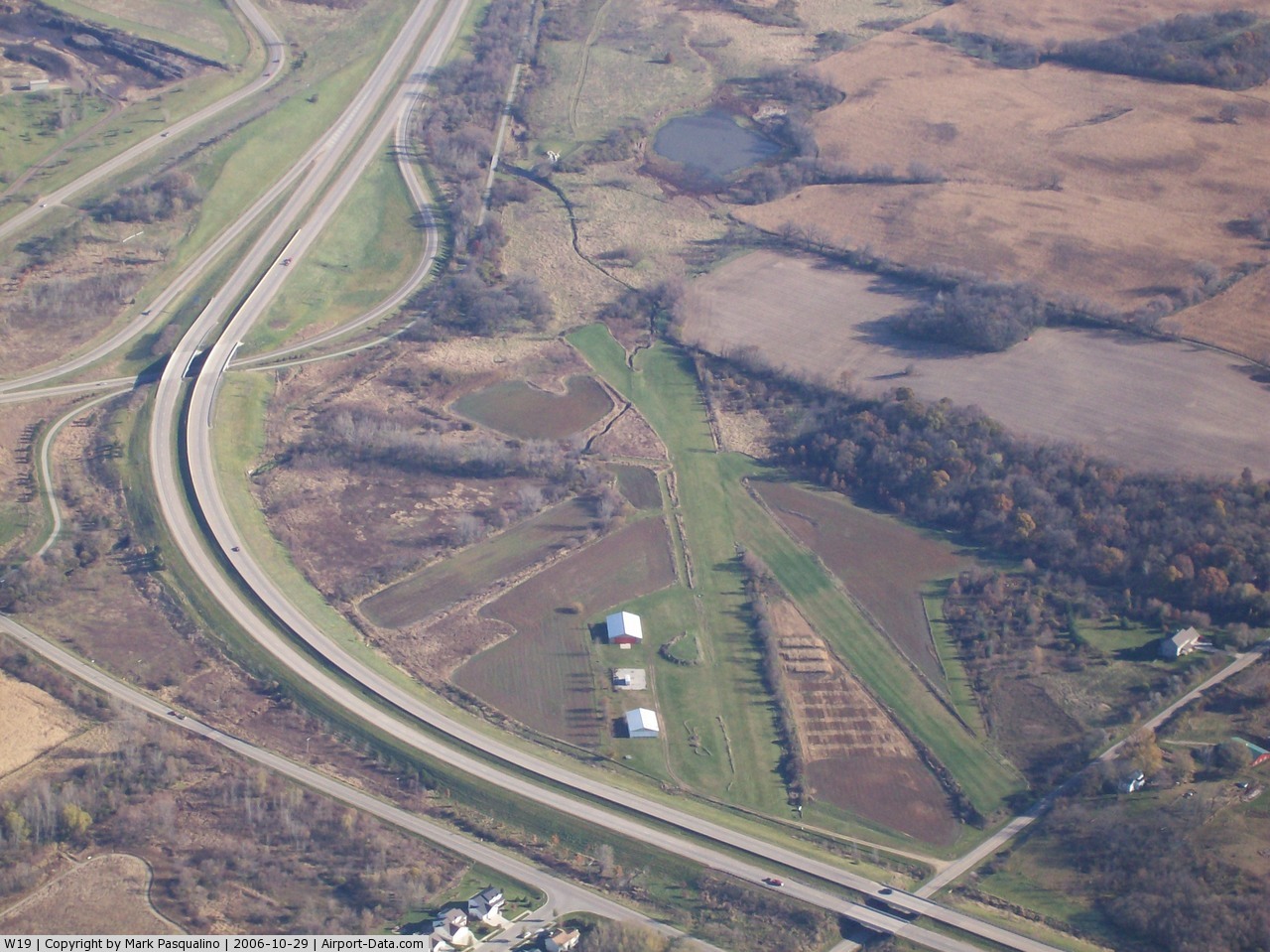
(Click on the photo to enlarge) |
 |
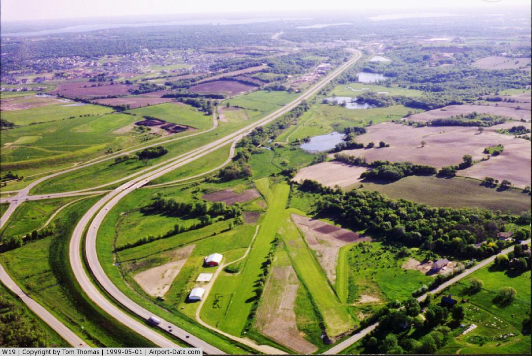
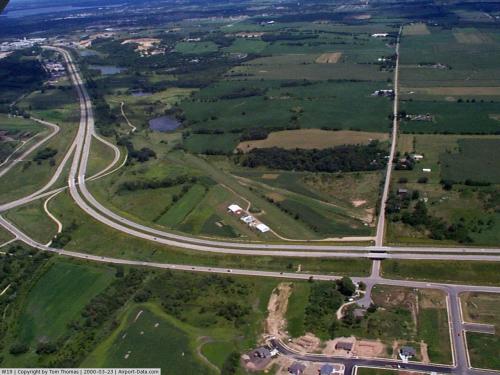
(Click on the photo to enlarge) |
 |
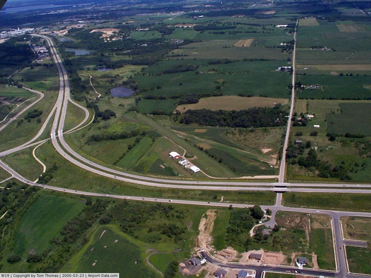
(Click on the photo to enlarge) |
Location & QuickFacts
| FAA Information Effective: | 2008-09-25 |
| Airport Identifier: | W19 |
| Airport Status: | Operational |
| Longitude/Latitude: | 089-31-00.4370W/42-58-59.9920N
-89.516788/42.983331 (Estimated) |
| Elevation: | 960 ft / 292.61 m (Estimated) |
| Land: | 15 acres |
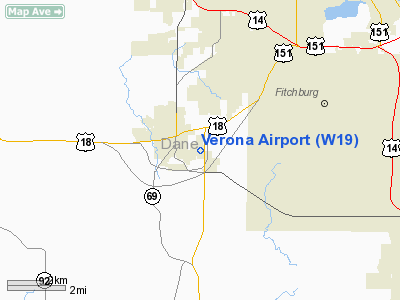
| From nearest city: | 1 nautical miles E of Verona, WI |
| Location: | Dane County, WI |
| Magnetic Variation: | 00E (1985) |
Owner & Manager
| Ownership: | Privately owned |
| Owner: | Robin Slotten |
| Address: | 6654 Grandview Road
Verona, WI 53593 |
| Phone number: | 608-845-7239 |
| Manager: | Robin Slotten |
| Address: | 6654 Grandview Rd
Verona, WI 53593 |
| Phone number: | 608-845-7239 |
Airport Operations and Facilities
| Airport Use: | Open to public |
| Wind indicator: | Yes |
| Segmented Circle: | No |
| Control Tower: | No |
| Landing fee charge: | No |
| Sectional chart: | Chicago |
| Region: | AGL - Great Lakes |
| Traffic Pattern Alt: | 600 ft |
| Boundary ARTCC: | ZAU - Chicago |
| Tie-in FSS: | GRB - Green Bay |
| FSS on Airport: | No |
| FSS Toll Free: | 1-800-WX-BRIEF |
| NOTAMs Facility: | GRB (NOTAM-d service avaliable) |
Airport Communications
Airport Services
| Bottled Oxygen: | NONE |
| Bulk Oxygen: | NONE |
Runway Information
Runway 03/21
| Dimension: | 2190 x 90 ft / 667.5 x 27.4 m
RY 03/21 900 FT FM S END ROUGH. |
| Surface: | TURF, Poor Condition |
| |
Runway 03 |
Runway 21 |
| Longitude: | 089-30-40.6400W | 089-30-26.2700W |
| Latitude: | 42-59-12.5900N | 42-59-31.4800N |
| Elevation: | 960.00 ft | 960.00 ft |
| Traffic Pattern: | Left | Left |
| Obstruction: | 40 ft trees, 120.0 ft from runway, 85 ft right of centerline, 3:1 slope to clear | 65 ft trees, 150.0 ft from runway, 70 ft right of centerline, 2:1 slope to clear |
|
Runway 04/22
| Dimension: | 1950 x 85 ft / 594.4 x 25.9 m
RY 03/21 900 FT FM S END ROUGH. |
| Surface: | TURF, Fair Condition |
| |
Runway 04 |
Runway 22 |
| Longitude: | 089-30-44.4900W | 089-30-25.2900W |
| Latitude: | 42-59-15.9600N | 42-59-28.3200N |
| Elevation: | 960.00 ft | 960.00 ft |
| Traffic Pattern: | Right | Left |
| Markings: | None,
04/22 MKD WITH REFLECTORS; NO MARKINGS ON S END OF RY. | None, |
| Runway End Identifier: | No | No |
| Centerline Lights: | No | No |
| Touchdown Lights: | No | No |
| Obstruction: | 15 ft road, 60 ft left of centerline | 30 ft trees, 0.0 ft from runway, 120 ft left of centerline |
|
Radio Navigation Aids
| ID |
Type |
Name |
Ch |
Freq |
Var |
Dist |
| MS | NDB | Monah | | 400.00 | 00E | 8.9 nm |
| JVL | NDB | Janesville | | 375.00 | 03E | 30.5 nm |
| MRJ | NDB | Mineral Point | | 365.00 | 00W | 31.8 nm |
| RYV | NDB | Rock River | | 371.00 | 01W | 36.6 nm |
| LVV | NDB | Lake Lawn | | 404.00 | 00W | 44.2 nm |
| PVB | NDB | Platteville | | 203.00 | 01E | 44.3 nm |
| FEP | NDB | Freeport | | 335.00 | 00E | 44.5 nm |
| UNU | NDB | Juneau | | 344.00 | 01W | 44.6 nm |
| JVL | VOR/DME | Janesville | 090X | 114.30 | 03E | 31.4 nm |
| LNR | VOR/DME | Lone Rock | 075X | 112.80 | 00E | 32.9 nm |
| RFD | VOR/DME | Rockford | 045X | 110.80 | 01E | 47.7 nm |
| MSN | VORTAC | Madison | 023X | 108.60 | 03E | 12.4 nm |
| DLL | VORTAC | Dells | 117X | 117.00 | 03E | 35.8 nm |
Remarks
- AVOID OVER-FLTS OF MINK RANCH 1.5 EAST & CITY OF VERONA 1 MI WEST OF ARPT.
- BALLOON OPERATIONS NORMALLY EARLY AM & PM - DALGT HRS.
- DEER ON & INVOF ARPT.
- ARPT SURFACES NOT PLOWED FOR SNOW. CONFIRM SFC CONDS WITH AMGR 608-845-7239.
- RY 04/22 4-6' FENCE & BERM 20' S OF RY EDGE PARALLELS RY.
- ULTRALIGHT ACTVTY ON & IN VCNTY OF ARPT.
- AVOID OVER-FLTS OF INSTITUTION 0.5 N & VILLAGE PARK 1.0 W OF ARPT.
Images and information placed above are from
http://www.airport-data.com/airport/W19/
We thank them for the data!
| General Info
|
| Country |
United States
|
| State |
WISCONSIN
|
| FAA ID |
W19
|
| Latitude |
42-58-59.992N
|
| Longitude |
089-31-00.437W
|
| Elevation |
960 feet
|
| Near City |
VERONA
|
We don't guarantee the information is fresh and accurate. The data may
be wrong or outdated.
For more up-to-date information please refer to other sources.
|
|