 |
|
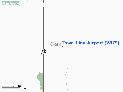
Location & QuickFacts
| FAA Information Effective: | 2008-09-25 |
| Airport Identifier: | WI79 |
| Airport Status: | Operational |
| Longitude/Latitude: | 090-33-23.4960W/44-51-09.8760N
-90.556527/44.852743 (Estimated) |
| Elevation: | 1270 ft / 387.10 m (Estimated) |
| Land: | 0 acres |
| From nearest city: | 4 nautical miles NE of Greenwood, WI |
| Location: | Clark County, WI |
| Magnetic Variation: | 01E (1985) |
Owner & Manager
| Ownership: | Privately owned |
| Owner: | Jeff Eckdahl |
| Address: | Route 1
Owen, WI 54460 |
| Address: |
|
| Phone number: | 715-229-4479 |
Airport Operations and Facilities
| Airport Use: | Private |
| Wind indicator: | Yes |
| Segmented Circle: | No |
| Control Tower: | No |
| Landing fee charge: | No |
| Sectional chart: | Green Bay |
| Region: | AGL - Great Lakes |
| Boundary ARTCC: | ZMP - Minneapolis |
| Tie-in FSS: | GRB - Green Bay |
| FSS on Airport: | No |
| FSS Toll Free: | 1-800-WX-BRIEF |
Runway Information
Runway 18/36
| Dimension: | 2200 x 60 ft / 670.6 x 18.3 m |
| Surface: | TURF, |
| |
Runway 18 |
Runway 36 |
| Traffic Pattern: | Left | Left |
|
Radio Navigation Aids
| ID |
Type |
Name |
Ch |
Freq |
Var |
Dist |
| VIQ | NDB | Neillsville | | 368.00 | 01W | 17.9 nm |
| MDZ | NDB | Medford | | 335.00 | 00E | 18.5 nm |
| MFI | NDB | Marshfield | | 391.00 | 00E | 20.3 nm |
| BCK | NDB | Black River Falls | | 362.00 | 00E | 38.1 nm |
| FZK | NDB | Wausau | | 243.00 | 01E | 39.9 nm |
| RRL | NDB | Merrill | | 257.00 | 01W | 41.8 nm |
| ISW | NDB | Wisconsin Rapids | | 215.00 | 01W | 42.5 nm |
| RCX | NDB | Rusk County | | 356.00 | 00W | 43.3 nm |
| EAU | VORTAC | Eau Claire | 076X | 112.90 | 04E | 39.4 nm |
| AUW | VORTAC | Wausau | 053X | 111.60 | 02E | 41.3 nm |
| STE | VORTAC | Stevens Point | 043X | 110.60 | 01W | 47.6 nm |
Images and information placed above are from
http://www.airport-data.com/airport/WI79/
We thank them for the data!
| General Info
|
| Country |
United States
|
| State |
WISCONSIN
|
| FAA ID |
WI79
|
| Latitude |
44-51-09.876N
|
| Longitude |
090-33-23.496W
|
| Elevation |
1270 feet
|
| Near City |
GREENWOOD
|
We don't guarantee the information is fresh and accurate. The data may
be wrong or outdated.
For more up-to-date information please refer to other sources.
|
|


