|
|
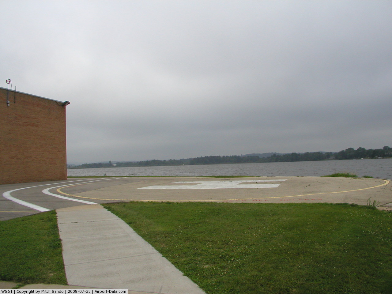
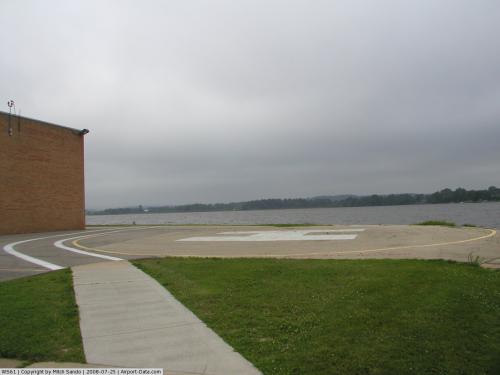
Tomah Memorial Hospital Heliport |
 |
(Click on the photo to enlarge) |
Location & QuickFacts
| FAA Information Effective: | 2008-09-25 |
| Airport Identifier: | WS61 |
| Airport Status: | Operational |
| Longitude/Latitude: | 090-30-55.4770W/43-59-04.8730N
-90.515410/43.984687 (Estimated) |
| Elevation: | 965 ft / 294.13 m (Estimated) |
| Land: | 0 acres |
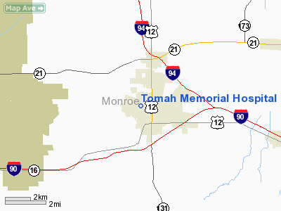
| From nearest city: | 0 nautical miles N of Tomah, WI |
| Location: | Monroe County, WI |
| Magnetic Variation: | 01E (1985) |
Owner & Manager
| Ownership: | Privately owned |
| Owner: | Tomah Memorial Hospital |
| Address: | 321 Butts Ave.
Tomah, WI 54660 |
| Phone number: | 608-372-2181 |
| Manager: | Mark Oglesbay |
| Address: | 321 Butts Ave.
Tomah, WI 54660 |
| Phone number: | 608-372-2181 |
Airport Operations and Facilities
| Airport Use: | Private
MEDICAL |
| Wind indicator: | Yes |
| Segmented Circle: | No |
| Control Tower: | No |
| Sectional chart: | Chicago |
| Region: | AGL - Great Lakes |
| Boundary ARTCC: | ZMP - Minneapolis |
| Tie-in FSS: | GRB - Green Bay |
| FSS Toll Free: | 1-800-WX-BRIEF |
Runway Information
Helipad H1
| Dimension: | 160 x 100 ft / 48.8 x 30.5 m |
| Surface: | ASPH, |
| |
Runway H1 |
Runway |
| Traffic Pattern: | Left | Left |
|
Radio Navigation Aids
| ID |
Type |
Name |
Ch |
Freq |
Var |
Dist |
| CMY | NDB | Mccoy | | 412.00 | 00E | 6.2 nm |
| HBW | NDB | Kickapoo | | 251.00 | 03E | 21.3 nm |
| BCK | NDB | Black River Falls | | 362.00 | 00E | 21.7 nm |
| VIQ | NDB | Neillsville | | 368.00 | 01W | 34.4 nm |
| ISW | NDB | Wisconsin Rapids | | 215.00 | 01W | 37.0 nm |
| MFI | NDB | Marshfield | | 391.00 | 00E | 41.9 nm |
| CHU | NDB | Caledonia | | 209.00 | 03E | 48.6 nm |
| VOK | TACAN | Volk | 041X | | 00E | 11.4 nm |
| LSE | VOR/DME | La Crosse | 021X | 108.40 | 02E | 32.7 nm |
| LNR | VOR/DME | Lone Rock | 075X | 112.80 | 00E | 44.7 nm |
| ODI | VORTAC | Nodine | 126X | 117.90 | 01E | 41.4 nm |
| DLL | VORTAC | Dells | 117X | 117.00 | 03E | 41.8 nm |
Remarks
- FILED FOR RECORD PURPOSES ONLY
Images and information placed above are from
http://www.airport-data.com/airport/WS61/
We thank them for the data!
| General Info
|
| Country |
United States
|
| State |
WISCONSIN
|
| FAA ID |
WS61
|
| Latitude |
43-59-04.873N
|
| Longitude |
090-30-55.477W
|
| Elevation |
965 feet
|
| Near City |
TOMAH
|
We don't guarantee the information is fresh and accurate. The data may
be wrong or outdated.
For more up-to-date information please refer to other sources.
|
|