 |
|
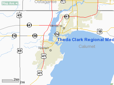
Theda Clark Rgnl Medical Center Heliport |
Location & QuickFacts
| FAA Information Effective: | 2008-09-25 |
| Airport Identifier: | WS35 |
| Airport Status: | Operational |
| Longitude/Latitude: | 088-27-11.3910W/44-11-15.9500N
-88.453164/44.187764 (Estimated) |
| Elevation: | 754 ft / 229.82 m (Estimated) |
| Land: | 0 acres |
| From nearest city: | 1 nautical miles E of Neenah, WI |
| Location: | Winnebago County, WI |
| Magnetic Variation: | 01W (1985) |
Owner & Manager
| Ownership: | Privately owned |
| Owner: | Theda Clark Rgnl Medical Cntr |
| Address: | 130 Second St
Neenah, WI 54956 |
| Phone number: | 920-729-3100 |
| Manager: | Dispatcher Thedastar Air Medical |
| Address: | 130 Second St
Neenah, WI 54956 |
| Phone number: | 920-729-2114 |
Airport Operations and Facilities
| Airport Use: | Private
MEDICAL USE. |
| Wind indicator: | Yes |
| Segmented Circle: | No |
| Control Tower: | No |
| Lighting Schedule: | DUSK-DAWN |
| Beacon Color: | Clear-Green-Yellow (heliport) |
| Sectional chart: | Chicago |
| Region: | AGL - Great Lakes |
| Boundary ARTCC: | ZAU - Chicago |
| Tie-in FSS: | GRB - Green Bay |
| FSS Toll Free: | 1-800-WX-BRIEF |
Airport Communications
Runway Information
Helipad H1
| Dimension: | 40 x 40 ft / 12.2 x 12.2 m |
| Surface: | CONC, |
| |
Runway H1 |
Runway |
| Traffic Pattern: | Left | Left |
| Obstruction: | 34 ft pole, 90.0 ft from runway | |
|
Radio Navigation Aids
| ID |
Type |
Name |
Ch |
Freq |
Var |
Dist |
| AQ | NDB | Kooky | | 407.00 | 02W | 2.9 nm |
| SG | NDB | Depre | | 332.00 | 02W | 18.7 nm |
| PCZ | NDB | Waupaca | | 382.00 | 01W | 25.7 nm |
| CLI | NDB | Clintonville | | 209.00 | 02W | 28.6 nm |
| UNU | NDB | Juneau | | 344.00 | 01W | 46.9 nm |
| OCQ | NDB | Oconto | | 388.00 | 03W | 47.4 nm |
| LLE | NDB | Kettle Moraine | | 329.00 | 01W | 48.0 nm |
| BJB | VOR | West Bend | | 109.80 | 01W | 48.2 nm |
| MTW | VOR/DME | Manitowoc | 047X | 111.00 | 02W | 33.5 nm |
| FAH | VOR/DME | Falls | 37X | 110.00 | 02W | 36.3 nm |
| OSH | VORTAC | Oshkosh | 055X | 111.80 | 02E | 12.7 nm |
| GRB | VORTAC | Green Bay | 102X | 115.50 | 01E | 24.7 nm |
Remarks
- APCH/DEP OPERATIONS ARE CONDUCTED IN AN AREA FROM 90 DEG TO 240 DEG; AREA IS MKD; WIND INDICATOR IS MAINTAINED.
Images and information placed above are from
http://www.airport-data.com/airport/WS35/
We thank them for the data!
| General Info
|
| Country |
United States
|
| State |
WISCONSIN
|
| FAA ID |
WS35
|
| Latitude |
44-11-15.950N
|
| Longitude |
088-27-11.391W
|
| Elevation |
754 feet
|
| Near City |
NEENAH
|
We don't guarantee the information is fresh and accurate. The data may
be wrong or outdated.
For more up-to-date information please refer to other sources.
|
|


