 |
|
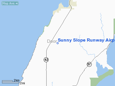
Sunny Slope Runway Airport |
Location & QuickFacts
| FAA Information Effective: | 2008-09-25 |
| Airport Identifier: | WN28 |
| Airport Status: | Operational |
| Longitude/Latitude: | 087-18-34.3720W/44-58-57.9780N
-87.309548/44.982772 (Estimated) |
| Elevation: | 730 ft / 222.50 m (Estimated) |
| Land: | 80 acres |
| From nearest city: | 6 nautical miles S of Egg Harbor, WI |
| Location: | Door County, WI |
| Magnetic Variation: | 02W (1985) |
Owner & Manager
| Ownership: | Privately owned |
| Owner: | Martin C. Gureski, Sr. |
| Address: | 5080 Sunny Slope Road
Egg Harbor, WI 54209 |
| Phone number: | 414-743-4274 |
| Manager: | Martin C. Gureski, Sr. |
| Address: | 5080 Sunny Slope Road
Egg Harbor, WI 54209 |
| Phone number: | 414-743-4274 |
Airport Operations and Facilities
| Airport Use: | Private |
| Wind indicator: | Yes |
| Segmented Circle: | No |
| Control Tower: | No |
| Sectional chart: | Green Bay |
| Region: | AGL - Great Lakes |
| Boundary ARTCC: | ZMP - Minneapolis |
| Tie-in FSS: | GRB - Green Bay |
| FSS on Airport: | No |
| FSS Toll Free: | 1-800-WX-BRIEF |
Runway Information
Runway N/S
| Dimension: | 1250 x 100 ft / 381.0 x 30.5 m |
| Surface: | TURF, |
| |
Runway N |
Runway S |
| Traffic Pattern: | Left | Left |
| Obstruction: | 20 ft road, 200.0 ft from runway | |
|
Radio Navigation Aids
| ID |
Type |
Name |
Ch |
Freq |
Var |
Dist |
| SUE | NDB | Sturgeon Bay | | 414.00 | 03W | 10.0 nm |
| OCQ | NDB | Oconto | | 388.00 | 03W | 26.4 nm |
| SG | NDB | Depre | | 332.00 | 02W | 49.7 nm |
| MNM | VOR/DME | Menominee | 033X | 109.60 | 00E | 18.6 nm |
| ESC | VOR/DME | Escanaba | 045X | 110.80 | 00E | 45.4 nm |
| GRB | VORTAC | Green Bay | 102X | 115.50 | 01E | 45.7 nm |
Remarks
- PRVDD S END OF RY RELOCATED 200'; OBSTRUCTIONS REMOVED/LOWERED TO PROVIDE 20:1 APCH SLOPE; 125' EITHER SIDE OF CNTRLN & 300' AT RY ENDS BE CLEAR OF OBSTRUCTIONS.
Images and information placed above are from
http://www.airport-data.com/airport/WN28/
We thank them for the data!
| General Info
|
| Country |
United States
|
| State |
WISCONSIN
|
| FAA ID |
WN28
|
| Latitude |
44-58-57.978N
|
| Longitude |
087-18-34.372W
|
| Elevation |
730 feet
|
| Near City |
EGG HARBOR
|
We don't guarantee the information is fresh and accurate. The data may
be wrong or outdated.
For more up-to-date information please refer to other sources.
|
|


