 |
|
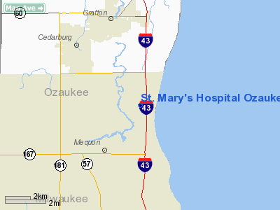
St. Mary's Hospital Ozaukee Heliport |
Location & QuickFacts
| FAA Information Effective: | 2008-09-25 |
| Airport Identifier: | WI08 |
| Airport Status: | Operational |
| Longitude/Latitude: | 087-55-32.4500W/43-15-23.4900N
-87.925681/43.256525 (Estimated) |
| Elevation: | 667 ft / 203.30 m (Estimated) |
| Land: | 0 acres |
| From nearest city: | 5 nautical miles NE of Mequon, WI |
| Location: | Ozaukee County, WI |
| Magnetic Variation: | 03W () |
Owner & Manager
| Ownership: | Privately owned |
| Owner: | Columbia St Mary's |
| Address: | 13111 N. Port Washington Road
Mequon, WI 53097 |
| Phone number: | 262-243-7300 |
| Manager: | St Mary's Hospital Ozaukee |
| Address: | 13111 N. Port Washington Road
Mequon, WI 53097 |
| Phone number: | 262-243-7350 |
Airport Operations and Facilities
| Airport Use: | Private |
| Wind indicator: | Yes |
| Segmented Circle: | No |
| Control Tower: | No |
| Lighting Schedule: | DUSK-DAWN |
| Beacon Color: | Clear-Green-Yellow (heliport) |
| Sectional chart: | Chicago |
| Region: | AGL - Great Lakes |
| Boundary ARTCC: | ZAU - Chicago |
| Tie-in FSS: | GRB - Green Bay |
| FSS Toll Free: | 1-800-WX-BRIEF |
Runway Information
Helipad H1
| Dimension: | 40 x 40 ft / 12.2 x 12.2 m |
| Surface: | ASPH, |
| |
Runway H1 |
Runway |
| Traffic Pattern: | Left | Left |
|
Radio Navigation Aids
| ID |
Type |
Name |
Ch |
Freq |
Var |
Dist |
| BL | NDB | Yanks | | 260.00 | 02W | 12.0 nm |
| LLE | NDB | Kettle Moraine | | 329.00 | 01W | 13.4 nm |
| UES | NDB | Waukesha | | 359.00 | 01W | 18.6 nm |
| HXF | NDB | Hartford | | 200.00 | 00E | 21.3 nm |
| GM | NDB | Teels | | 242.00 | 02W | 21.5 nm |
| RA | NDB | Paser | | 206.00 | 00E | 34.5 nm |
| RYV | NDB | Rock River | | 371.00 | 01W | 35.4 nm |
| UNU | NDB | Juneau | | 344.00 | 01W | 35.5 nm |
| LVV | NDB | Lake Lawn | | 404.00 | 00W | 44.6 nm |
| BJB | VOR | West Bend | | 109.80 | 01W | 13.2 nm |
| LJT | VOR/DME | Timmerman | 072X | 112.50 | 02W | 10.1 nm |
| HRK | VOR/DME | Horlick | 124X | 117.70 | 02W | 30.1 nm |
| FAH | VOR/DME | Falls | 37X | 110.00 | 02W | 31.0 nm |
| BUU | VOR/DME | Burbun | 092X | 114.50 | 01W | 37.9 nm |
| ENW | VOR/DME | Kenosha | 029X | 109.20 | 02W | 39.5 nm |
| BAE | VORTAC | Badger | 111X | 116.40 | 02E | 17.8 nm |
| MKE | VOT | Milwaukee | | 109.00 | | 18.6 nm |
Remarks
- PROVIDED ALL OPNS FROM 150 TO 280 DEG; AREA IS MARKED; WIND INDICATOR IS MAINTAINED.
Images and information placed above are from
http://www.airport-data.com/airport/WI08/
We thank them for the data!
| General Info
|
| Country |
United States
|
| State |
WISCONSIN
|
| FAA ID |
WI08
|
| Latitude |
43-15-23.490N
|
| Longitude |
087-55-32.450W
|
| Elevation |
667 feet
|
| Near City |
MEQUON
|
We don't guarantee the information is fresh and accurate. The data may
be wrong or outdated.
For more up-to-date information please refer to other sources.
|
|


