 |
|
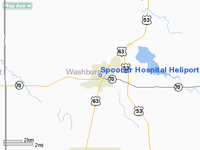
Spooner Hospital Heliport |
Location & QuickFacts
| FAA Information Effective: | 2008-09-25 |
| Airport Identifier: | WS58 |
| Airport Status: | Operational |
| Longitude/Latitude: | 091-53-44.6360W/45-49-32.8100N
-91.895732/45.825781 (Estimated) |
| Elevation: | 1080 ft / 329.18 m (Estimated) |
| Land: | 0 acres |
| From nearest city: | 0 nautical miles N of Spooner, WI |
| Location: | Washburn County, WI |
| Magnetic Variation: | 02E (1985) |
Owner & Manager
| Ownership: | Privately owned |
| Owner: | Spooner Comm Meml Hosp |
| Address: | 819 Ash St
Spooner, WI 54801 |
| Phone number: | 715-635-2111 |
| Manager: | Michael D. Schafer |
| Address: | 819 Ash St
Spooner, WI 54801 |
| Phone number: | 715-635-2111 |
Airport Operations and Facilities
| Airport Use: | Private
MEDICAL |
| Segmented Circle: | No |
| Control Tower: | No |
| Sectional chart: | Green Bay |
| Region: | AGL - Great Lakes |
| Boundary ARTCC: | ZMP - Minneapolis |
| Tie-in FSS: | GRB - Green Bay |
| FSS Toll Free: | 1-800-WX-BRIEF |
Runway Information
Helipad H1
| Dimension: | 300 x 300 ft / 91.4 x 91.4 m |
| Surface: | ASPH, |
| |
Runway H1 |
Runway |
| Traffic Pattern: | Left | Left |
|
Radio Navigation Aids
| ID |
Type |
Name |
Ch |
Freq |
Var |
Dist |
| SSQ | NDB | Shell Lake | | 212.00 | 01E | 6.0 nm |
| UBE | NDB | Cumberland | | 375.00 | 01E | 19.3 nm |
| BXR | NDB | Big Doctor | | 203.00 | 02E | 19.7 nm |
| SLY | NDB | Seeley | | 344.00 | 01E | 27.4 nm |
| OLG | NDB | Solon Springs | | 388.00 | 01E | 29.7 nm |
| AHH | NDB | Ameron | | 278.00 | 01E | 38.4 nm |
| RCX | NDB | Rusk County | | 356.00 | 00W | 42.3 nm |
| ROS | NDB | Rush City | | 282.00 | 02E | 45.1 nm |
| OEO | NDB | Osceola | | 233.00 | 01E | 45.5 nm |
| RNH | NDB | New Richmond | | 257.00 | 02E | 48.8 nm |
| RZN | VOR/DME | Siren | 031X | 109.40 | 02E | 20.1 nm |
| HYR | VOR/DME | Hayward | 081X | 113.40 | 03E | 22.1 nm |
| RPD | VOR/DME | Rice Lake | 037X | 110.00 | 01E | 25.2 nm |
Remarks
- FILED FOR RECORD PURPOSES ONLY.
Images and information placed above are from
http://www.airport-data.com/airport/WS58/
We thank them for the data!
| General Info
|
| Country |
United States
|
| State |
WISCONSIN
|
| FAA ID |
WS58
|
| Latitude |
45-49-32.810N
|
| Longitude |
091-53-44.636W
|
| Elevation |
1080 feet
|
| Near City |
SPOONER
|
We don't guarantee the information is fresh and accurate. The data may
be wrong or outdated.
For more up-to-date information please refer to other sources.
|
|


