|
|
Southern Wisconsin Rgnl Airport |
| Southern Wisconsin Regional Airport |
 |
| USGS aerial image - 28 April 1992 |
| IATA: JVL – ICAO: KJVL – FAA LID: JVL |
| Summary |
| Airport type |
Public |
| Owner |
Rock County |
| Serves |
Janesville, Wisconsin |
| Location |
Town of Rock, Rock County |
| Elevation AMSL |
808 ft / 246 m |
| Coordinates |
42°37′13″N 089°02′30″W / 42.62028°N 89.04167°W / 42.62028; -89.04167 |
| Website |
www.co.rock.wi.us/... |
| Runways |
| Direction |
Length |
Surface |
| ft |
m |
| 4/22 |
6,701 |
2,042 |
Asphalt |
| 14/32 |
7,300 |
2,225 |
Concrete |
| 18/36 |
5,000 |
1,524 |
Asphalt |
| Statistics (2004) |
| Aircraft operations |
68,971 |
| Based aircraft |
118 |
| Source: Federal Aviation Administration |
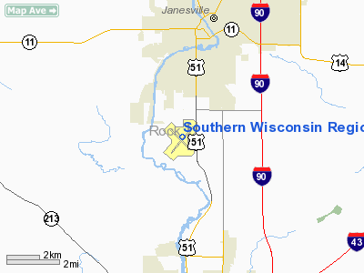
Southern Wisconsin Regional Airport (IATA: JVL, ICAO: KJVL, FAA LID: JVL) is a public airport located 3 nautical miles (5.6 km; 3.5 mi) southwest of the central business district of Janesville, and north of Beloit in Rock County, Wisconsin, United States. Formerly known as Rock County Airport, it is owned and operated by the Rock County government. The airport has no scheduled commercial passenger service.
Southern Wisconsin Regional Airport is home to the annual "Southern Wisconsin AirFEST", an event that features leading aviation performing groups, such as the Blue Angels, the Thunderbirds, and the Masters of Disaster. History
Several Rock County farms provided land for contract glider pilot training to the United States Army Air Forces in 1942. Training was provided by Morey Airplane Company using 3 turf runway locations in 3 separate Township sections. C-47 Skytrains and Waco CG-4 unpowered Gliders were not used. The production CG-4A gliders were not delivered until after these northern civilian schools were closed. Aircraft furnished by the Army were single engine L type Cessna, Aeronca and Piper. There were no gliders and there was no glider towing. These schools became known as dead stick training. The mission of the school was to train glider pilot students in approaches from various altitudes with the engine off, landing at a mark, night landing and strange field landing. Ground school instruction was in navigation, maintenance, meteorology, instruments, aircraft identification, chemical warfare defense, customs of service and physical training and drill.
These schools were inactivated at the end of 1942 or sooner. The farm fields specifically used in Rock County were turned back to the farmer when the schools were closed. None of this glider pilot training in Rock County occurred at or on the current Southern Wisconsin Regional Airport space.
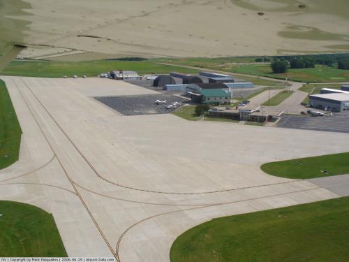
Facilities and aircraft
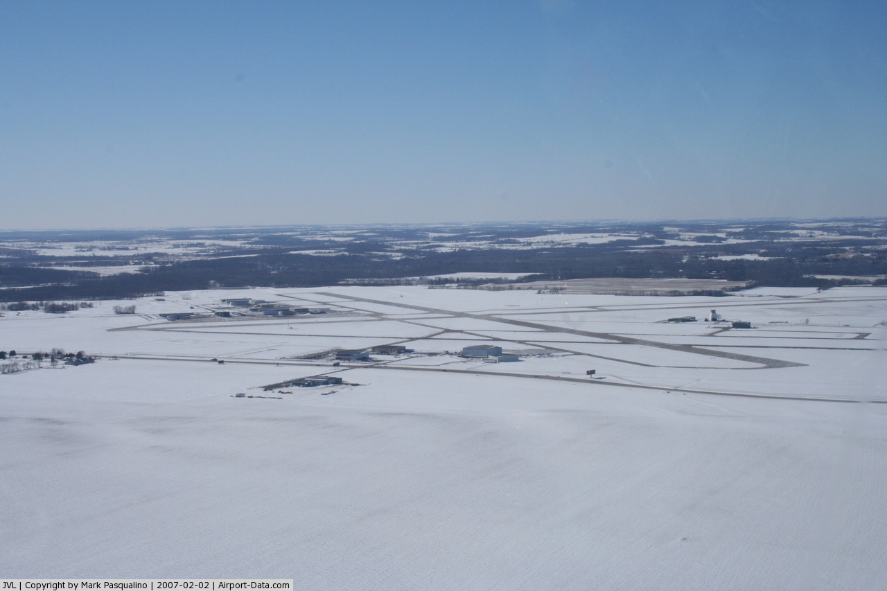
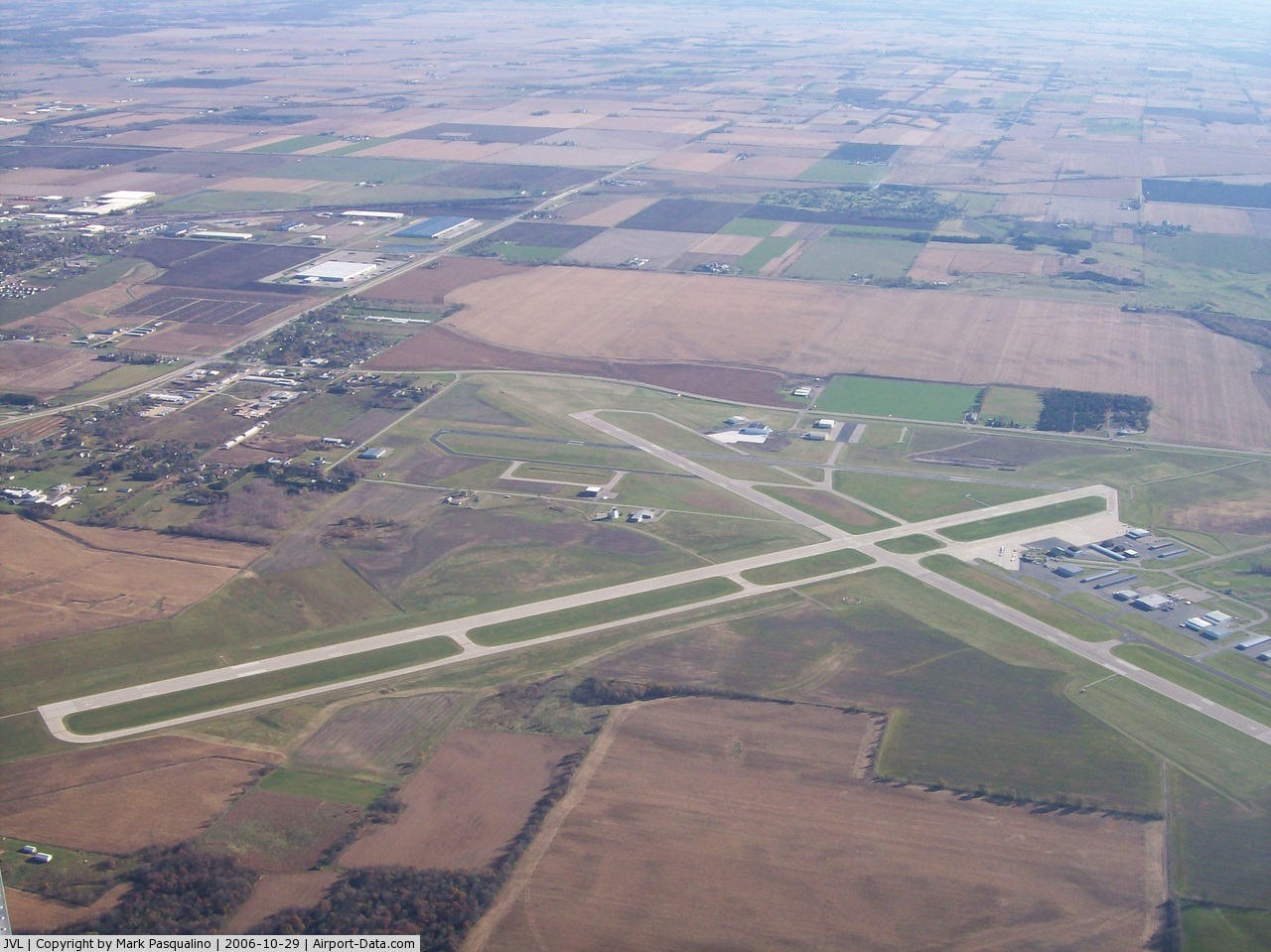
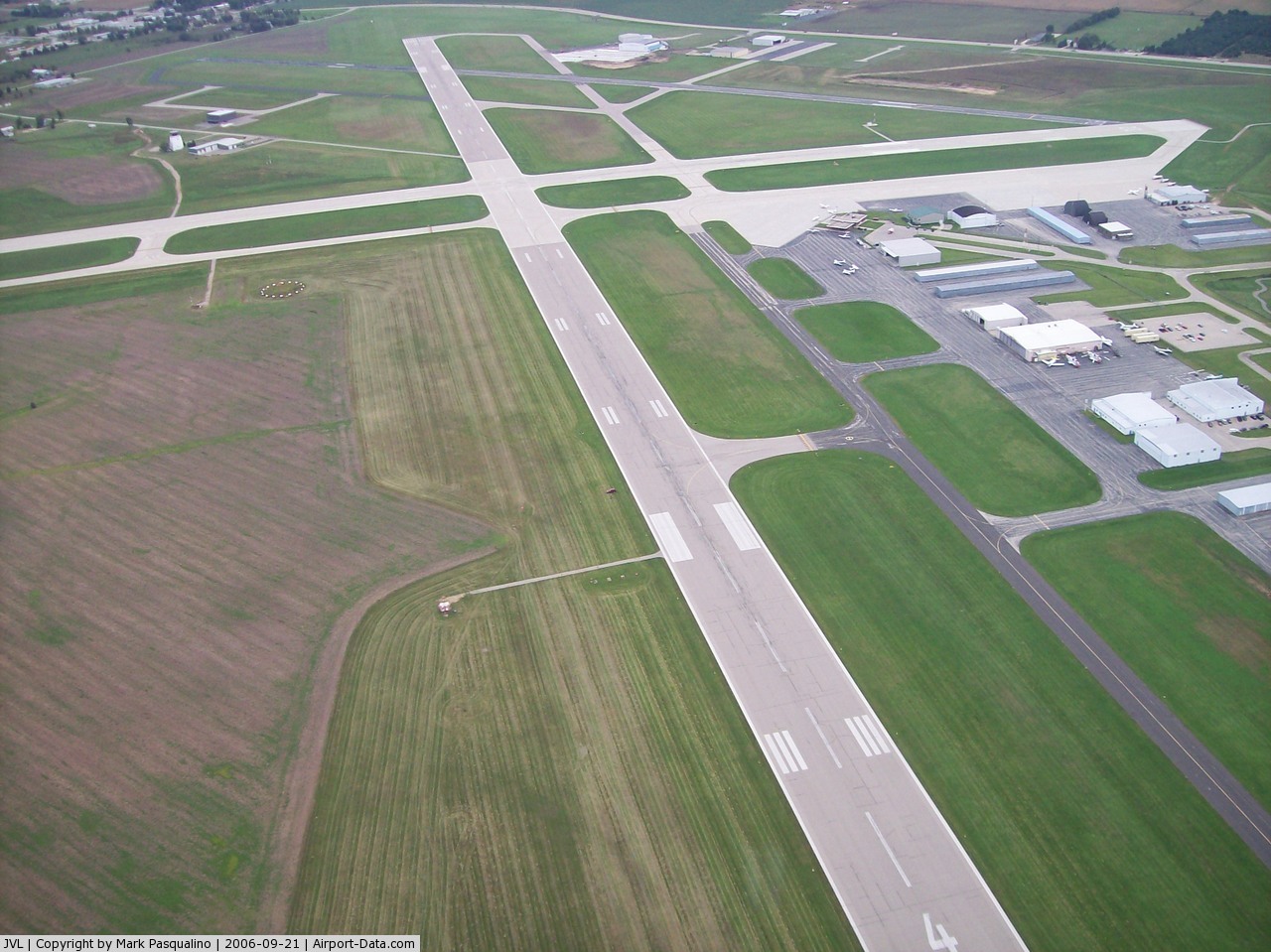
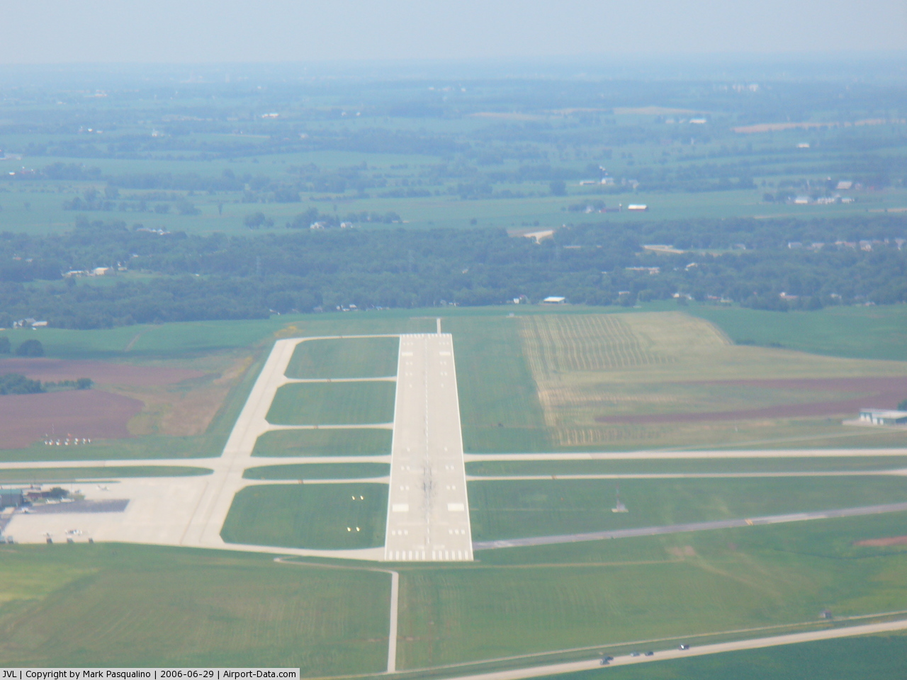
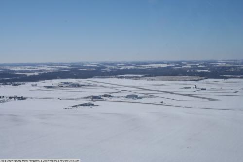
Southern Wisconsin Regional Airport covers an area of 1,343 acres (543 ha) containing three runways:
- Runway 4/22: 6,701 x 150 ft (2,042 x 46 m), Surface: Asphalt
- Runway 14/32: 7,300 x 150 ft (2,225 x 46 m), Surface: Concrete
- Runway 18/36: 5,000 x 75 ft (1,524 x 23 m), Surface: Asphalt
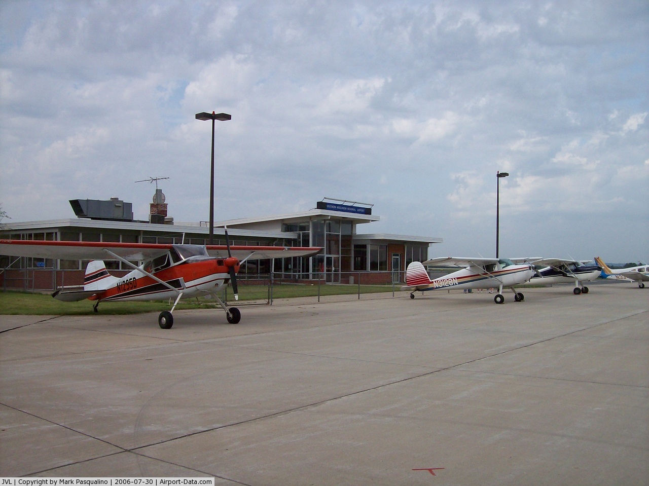
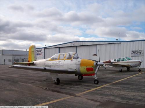
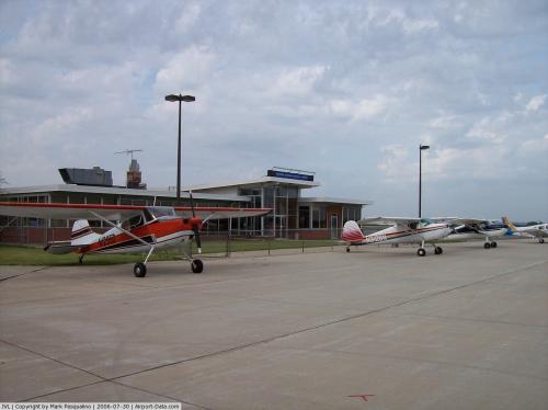
For the 12-month period ending December 31, 2004, the airport had 68,971 aircraft operations, an average of 188 per day: 91% general aviation, 7% air taxi, 2% military and 1% scheduled commercial. There are 118 aircraft based at the airport: 72% single engine, 17% multi-engine, 8% jet aircraft and helicopters.
The above content comes from Wikipedia and is published under free licenses – click here to read more.
 |
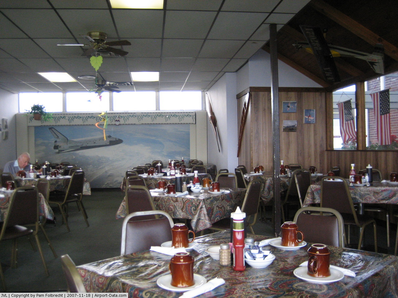
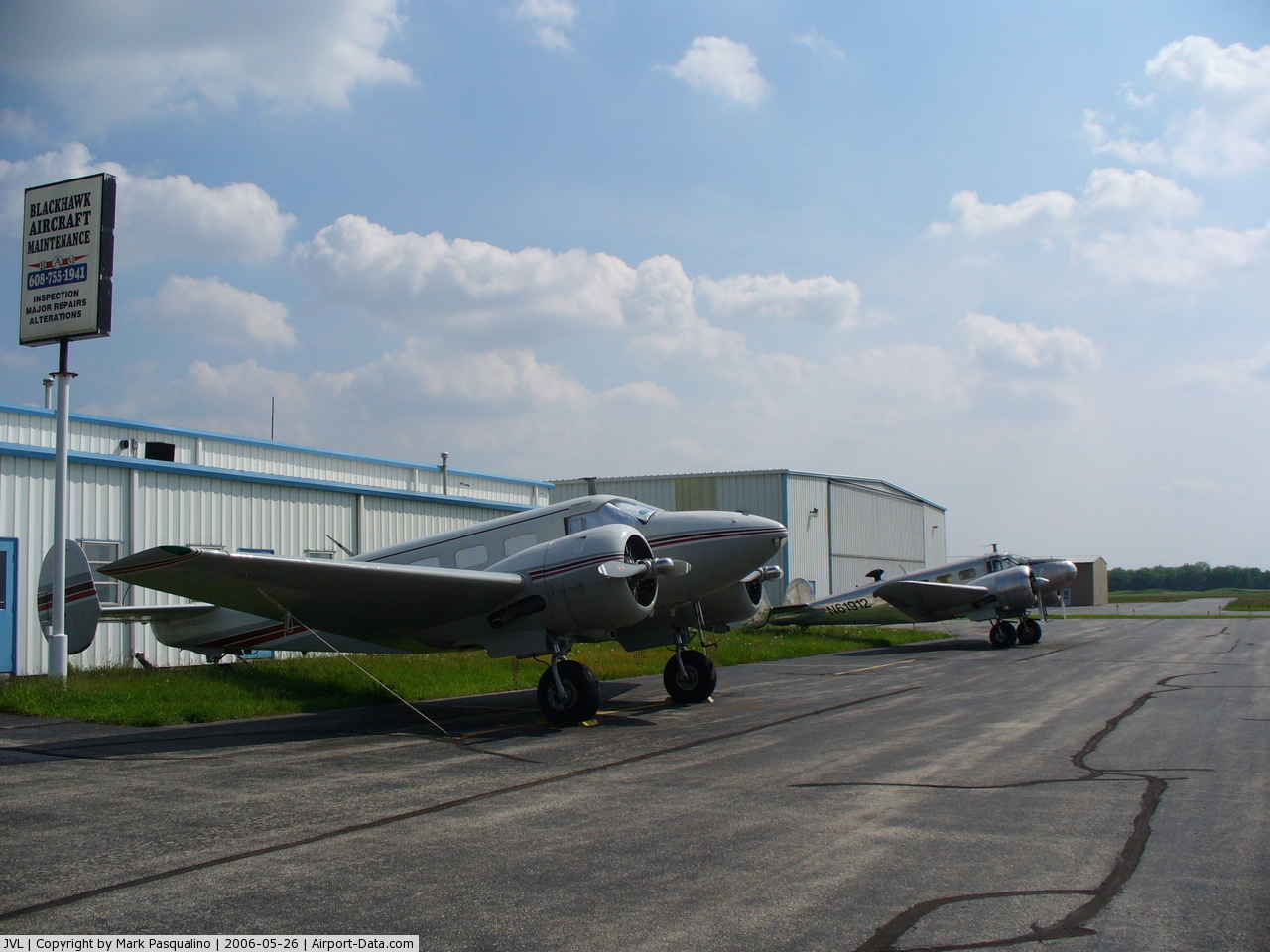
(Click on the photo to enlarge) |
 |
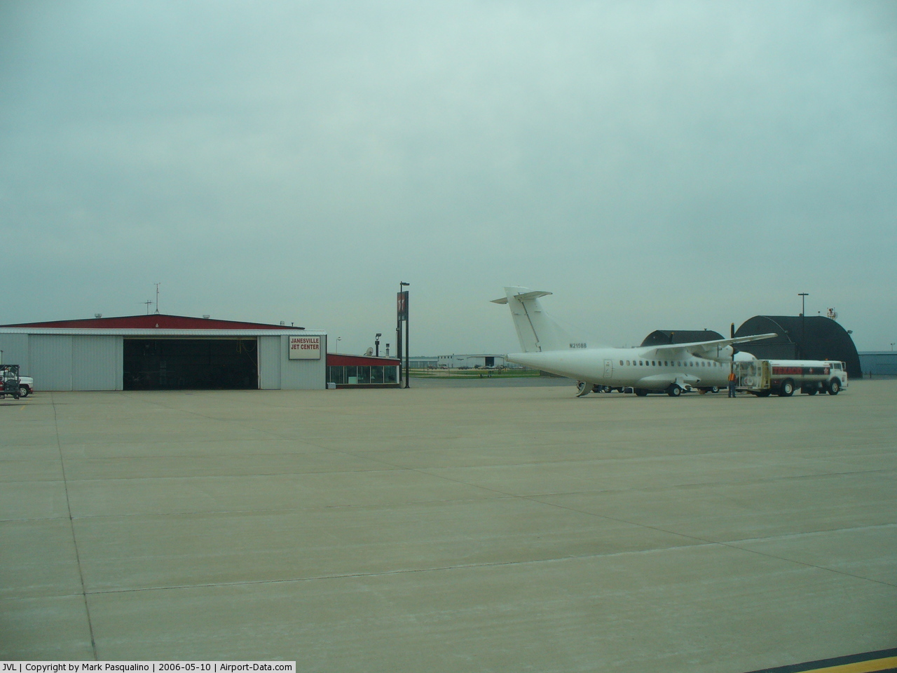
(Click on the photo to enlarge) |
 |
(Click on the photo to enlarge) |
 |
(Click on the photo to enlarge) |
 |
(Click on the photo to enlarge) |
 |
(Click on the photo to enlarge) |
 |
(Click on the photo to enlarge) |
 |
(Click on the photo to enlarge) |
 |
(Click on the photo to enlarge) |
 |
(Click on the photo to enlarge) |
 |
(Click on the photo to enlarge) |
Location & QuickFacts
| FAA Information Effective: | 2008-09-25 |
| Airport Identifier: | JVL |
| Airport Status: | Operational |
| Longitude/Latitude: | 089-02-29.6000W/42-37-12.9000N
-89.041556/42.620250 (Estimated) |
| Elevation: | 808 ft / 246.28 m (Surveyed) |
| Land: | 1343 acres |
| From nearest city: | 3 nautical miles SW of Janesville, WI |
| Location: | Rock County, WI |
| Magnetic Variation: | 02W (2005) |
Owner & Manager
| Ownership: | Publicly owned |
| Owner: | Rock County |
| Address: | 51 South Main St
Janesville, WI 53545 |
| Phone number: | 608-757-5768 |
| Manager: | Ron Burdick |
| Address: | 4004 South Oakhill
Janesville, WI 53545 |
| Phone number: | 608-757-5768 |
Airport Operations and Facilities
| Airport Use: | Open to public |
| Wind indicator: | Yes |
| Segmented Circle: | Yes |
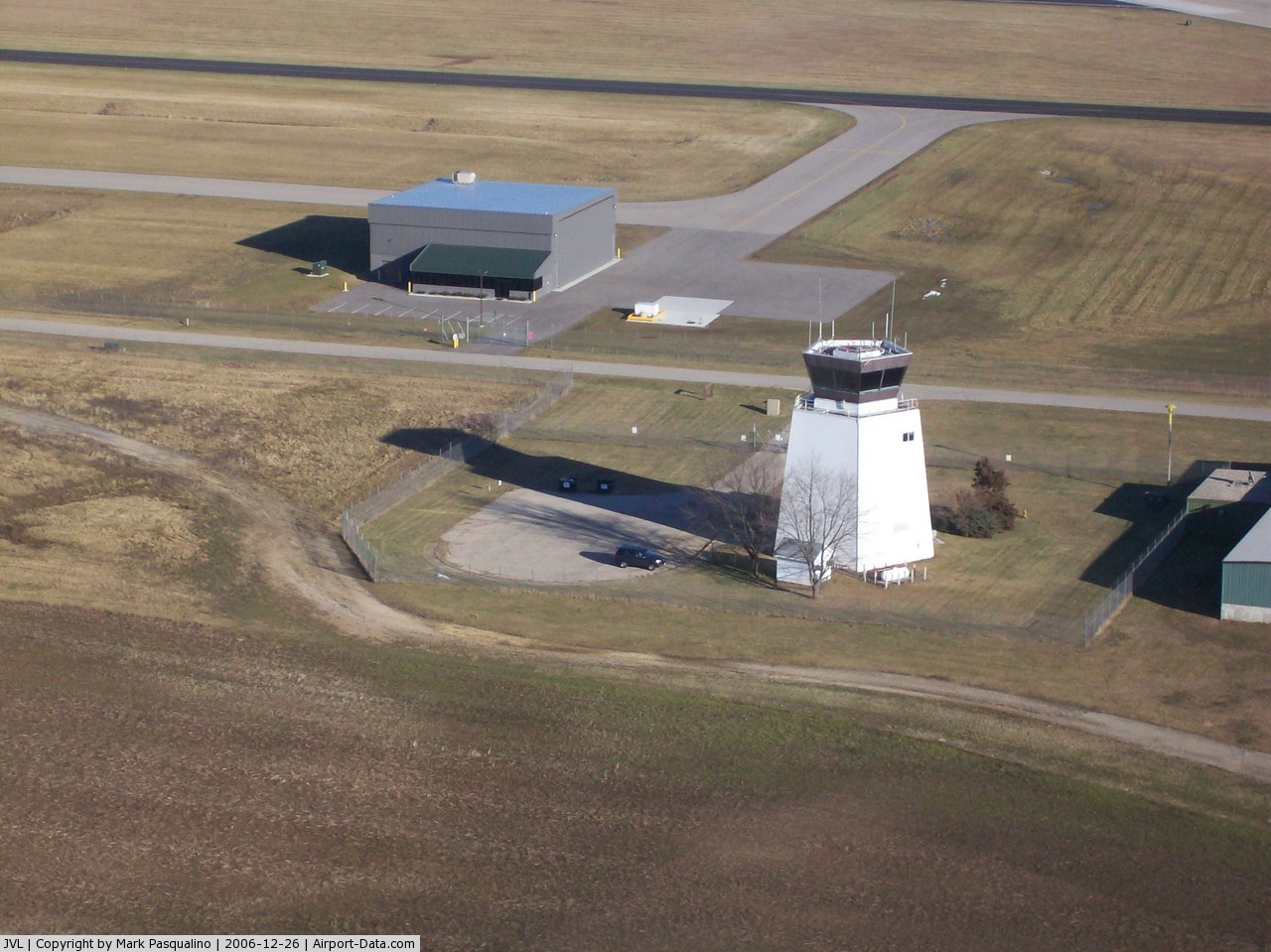
| Control Tower: | Yes |
| Lighting Schedule: | DUSK-DAWN
WHEN ATCT CLSD HIRL RY 04/22 PRESET ON LOW INTST; TO INCR INTST & ACTVT MALSR RYS 04 & 32, PAPI RY 04, HIRL RY 14/32, MIRL RY 18/36, REIL RY 14, PAPI RY 14 & VASI RY 32- CTAF. VASI RY 22 OPER 24 HRS. |
| Beacon Color: | Clear-Green (lighted land airport) |
| Landing fee charge: | No |
| Sectional chart: | Chicago |
| Region: | AGL - Great Lakes |
| Traffic Pattern Alt: | 1000 ft |
| Boundary ARTCC: | ZAU - Chicago |
| Tie-in FSS: | GRB - Green Bay |
| FSS on Airport: | No |
| FSS Toll Free: | 1-800-WX-BRIEF |
| NOTAMs Facility: | JVL (NOTAM-d service avaliable) |
| Certification type/date: | IV A U 05/197
CLSD TO SCHEDULED ACR OPNS WITH GREATER THAN 9 PSGR SEATS & UNSCHEDULED ACR OPS GREATER THAN 30 PSGR SEATS. 90-DAY PPR; CALL 608-757-5768. |
| Federal Agreements: | NGY3 |
Airport Communications
| CTAF: | 118.800 |
| Unicom: | 122.950 |
Airport Services
| Fuel available: | 100LLA |
| Airframe Repair: | MAJOR |
| Power Plant Repair: | MAJOR |
Runway Information
Runway 04/22
| Dimension: | 6700 x 150 ft / 2042.2 x 45.7 m |
| Surface: | ASPH, Fair Condition |
| Weight Limit: | Single wheel: 95000 lbs.
Dual wheel: 130000 lbs.
Dual tandem wheel: 230000 lbs.
APRONS & RAMPS RSTD TO 155 DTW GROSS WT. |
| Edge Lights: | High |
| |
Runway 04 |
Runway 22 |
| Longitude: | 089-02-59.3281W | 089-01-59.9155W |
| Latitude: | 42-36-42.5237N | 42-37-32.0666N |
| Elevation: | 804.00 ft | 805.00 ft |
| Alignment: | 42 | 127 |
| ILS Type: | ILS
| |
| Traffic Pattern: | Left | Left |
| Markings: | Precision instrument, Good Condition | Precision instrument, Good Condition |
| Crossing Height: | 43.00 ft | 60.00 ft |
| VASI: | 4-light PAPI on left side | 4-box on left side |
| Visual Glide Angle: | 3.00° | 3.00° |
| Approach lights: | MALSR | |
| Runway End Identifier: | No | Yes |
| Centerline Lights: | No | No |
| Touchdown Lights: | No | No |
| Obstruction: | , 50:1 slope to clear | 83 ft tree, 2792.0 ft from runway, 367 ft right of centerline, 31:1 slope to clear |
|
Runway 14/32
| Dimension: | 7301 x 150 ft / 2225.3 x 45.7 m |
| Surface: | CONC, Fair Condition |
| Weight Limit: | Single wheel: 85000 lbs.
Dual wheel: 190000 lbs.
Dual tandem wheel: 400000 lbs.
APRONS & RAMPS RSTD TO 155 DTW GROSS WT. |
| Edge Lights: | High |
| |
Runway 14 |
Runway 32 |
| Longitude: | 089-03-18.5373W | 089-02-07.7642W |
| Latitude: | 42-37-41.1123N | 42-36-51.4229N |
| Elevation: | 795.00 ft | 805.00 ft |
| Alignment: | 127 | 127 |
| ILS Type: | | ILS/DME
|
| Traffic Pattern: | Left | Left |
| Markings: | Non-precision instrument, Fair Condition | Non-precision instrument, Good Condition |
| Crossing Height: | 60.00 ft | 51.00 ft |
| VASI: | 4-light PAPI on left side | 4-box on left side |
| Visual Glide Angle: | 3.00° | 3.00° |
| Approach lights: | | MALSR |
| Runway End Identifier: | Yes | No |
| Centerline Lights: | No | No |
| Touchdown Lights: | No | No |
|
Runway 18/36
| Dimension: | 5003 x 75 ft / 1524.9 x 22.9 m |
| Surface: | ASPH, Fair Condition |
| Weight Limit: | Single wheel: 40000 lbs.
Dual wheel: 50000 lbs.
Dual tandem wheel: 80000 lbs.
APRONS & RAMPS RSTD TO 155 DTW GROSS WT. |
| Edge Lights: | Medium |
| |
Runway 18 |
Runway 36 |
| Longitude: | 089-02-10.4786W | 089-02-09.4360W |
| Latitude: | 42-37-40.2300N | 42-36-50.8164N |
| Elevation: | 808.00 ft | 806.00 ft |
| Alignment: | 127 | 127 |
| Traffic Pattern: | Left | Left |
| Markings: | Basic, Fair Condition | Basic, Fair Condition |
| Runway End Identifier: | No | No |
| Centerline Lights: | No | No |
| Touchdown Lights: | No | No |
| Obstruction: | 16 ft road, 385.0 ft from runway, 20 ft right of centerline, 11:1 slope to clear | , 50:1 slope to clear |
|
Radio Navigation Aids
| ID |
Type |
Name |
Ch |
Freq |
Var |
Dist |
| JVL | NDB | Janesville | | 375.00 | 03E | 0.3 nm |
| LVV | NDB | Lake Lawn | | 404.00 | 00W | 20.4 nm |
| MS | NDB | Monah | | 400.00 | 00E | 29.8 nm |
| FEP | NDB | Freeport | | 335.00 | 00E | 33.0 nm |
| RYV | NDB | Rock River | | 371.00 | 01W | 36.1 nm |
| UES | NDB | Waukesha | | 359.00 | 01W | 43.8 nm |
| DKB | NDB | Dekalb | | 209.00 | 02W | 43.8 nm |
| GM | NDB | Teels | | 242.00 | 02W | 47.4 nm |
| JVL | VOR/DME | Janesville | 090X | 114.30 | 03E | 4.7 nm |
| RFD | VOR/DME | Rockford | 045X | 110.80 | 01E | 24.7 nm |
| BUU | VOR/DME | Burbun | 092X | 114.50 | 01W | 33.0 nm |
| PLL | VOR/DME | Polo | 049X | 111.20 | 03E | 44.8 nm |
| ENW | VOR/DME | Kenosha | 029X | 109.20 | 02W | 49.1 nm |
| MSN | VORTAC | Madison | 023X | 108.60 | 03E | 34.2 nm |
| BAE | VORTAC | Badger | 111X | 116.40 | 02E | 44.8 nm |
Remarks
- LGT SPORT ACFT WITH CRUISE SPEED OF 60 MPH OR LESS ENTER TFC PAT AT 500 AGL.
- RY 32 & RY 36 APCH ENDS ARE CLOSELY ALIGNED. VERIFY CORRECT RY AND COMPASS HEADING PRIOR TO DEP.
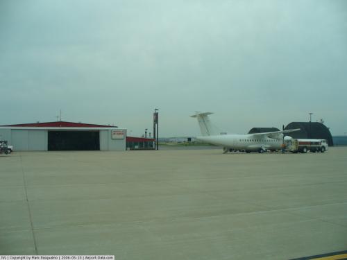
Images and information placed above are from
http://www.airport-data.com/airport/JVL/
We thank them for the data!
| General Info
|
| Country |
United States
|
| State |
WISCONSIN
|
| FAA ID |
JVL
|
| Latitude |
42-37-10.496N
|
| Longitude |
089-02-25.225W
|
| Elevation |
808 feet
|
| Near City |
JANESVILLE
|
We don't guarantee the information is fresh and accurate. The data may
be wrong or outdated.
For more up-to-date information please refer to other sources.
|
|