 |
|
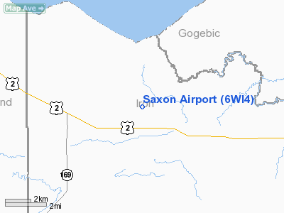
Location & QuickFacts
| FAA Information Effective: | 2008-09-25 |
| Airport Identifier: | 6WI4 |
| Airport Status: | Operational |
| Longitude/Latitude: | 090-25-53.6500W/46-30-55.8100N
-90.431569/46.515503 (Estimated) |
| Elevation: | 950 ft / 289.56 m (Estimated) |
| Land: | 0 acres |
| From nearest city: | 3 nautical miles NW of Saxon, WI |
| Location: | Iron County, WI |
| Magnetic Variation: | 00E (1985) |
Owner & Manager
| Ownership: | Privately owned |
| Owner: | Carl O. Lindblom |
| Address: | Hc 1 Box 442
Saxon, WI 54559 |
| Phone number: | 715-893-2267 |
| Manager: | Carl O. Lindblom |
| Address: | Saxon Airport
Saxon, WI 54559 |
| Phone number: | 715-893-2267 |
Airport Operations and Facilities
| Airport Use: | Private |
| Wind indicator: | Yes |
| Segmented Circle: | No |
| Control Tower: | No |
| Landing fee charge: | No |
| Sectional chart: | Green Bay |
| Region: | AGL - Great Lakes |
| Boundary ARTCC: | ZMP - Minneapolis |
| Tie-in FSS: | GRB - Green Bay |
| FSS on Airport: | No |
| FSS Toll Free: | 1-800-WX-BRIEF |
Runway Information
Runway 03/21
| Dimension: | 2600 x 60 ft / 792.5 x 18.3 m |
| Surface: | TURF, |
| |
Runway 03 |
Runway 21 |
| Traffic Pattern: | Left | Left |
| Obstruction: | 20 ft pline, 500.0 ft from runway | 35 ft trees, 700.0 ft from runway |
|
Radio Navigation Aids
| ID |
Type |
Name |
Ch |
Freq |
Var |
Dist |
| ENY | NDB | Kennedy | | 254.00 | 02E | 20.1 nm |
| MHA | NDB | Manitowish | | 364.00 | 01W | 32.8 nm |
| PKF | NDB | Park Falls | | 371.00 | 01W | 33.8 nm |
| BDJ | NDB | Boulder Junction | | 206.00 | 02E | 39.5 nm |
| ARV | NDB | Arbor Vitae | | 221.00 | 01W | 45.9 nm |
| SLY | NDB | Seeley | | 344.00 | 01E | 46.4 nm |
| OGM | NDB | Ontonagon | | 375.00 | 00W | 48.4 nm |
| PBH | NDB | Phillips | | 263.00 | 00E | 48.8 nm |
| RXW | NDB | Watersmeet | | 407.00 | 01E | 49.7 nm |
| ASX | VOR/DME | Ashland | 039X | 110.20 | 02E | 20.2 nm |
| IWD | VORTAC | Ironwood | 025X | 108.80 | 01E | 12.7 nm |
Remarks
- PROVIDED OPERATIONS ARE CONDUCTED IN VFR WEATHER CONDITIONS ONLY.
Images and information placed above are from
http://www.airport-data.com/airport/6WI4/
We thank them for the data!
| General Info
|
| Country |
United States
|
| State |
WISCONSIN
|
| FAA ID |
6WI4
|
| Latitude |
46-30-55.810N
|
| Longitude |
090-25-53.650W
|
| Elevation |
950 feet
|
| Near City |
SAXON
|
We don't guarantee the information is fresh and accurate. The data may
be wrong or outdated.
For more up-to-date information please refer to other sources.
|
|


