|
|
 |
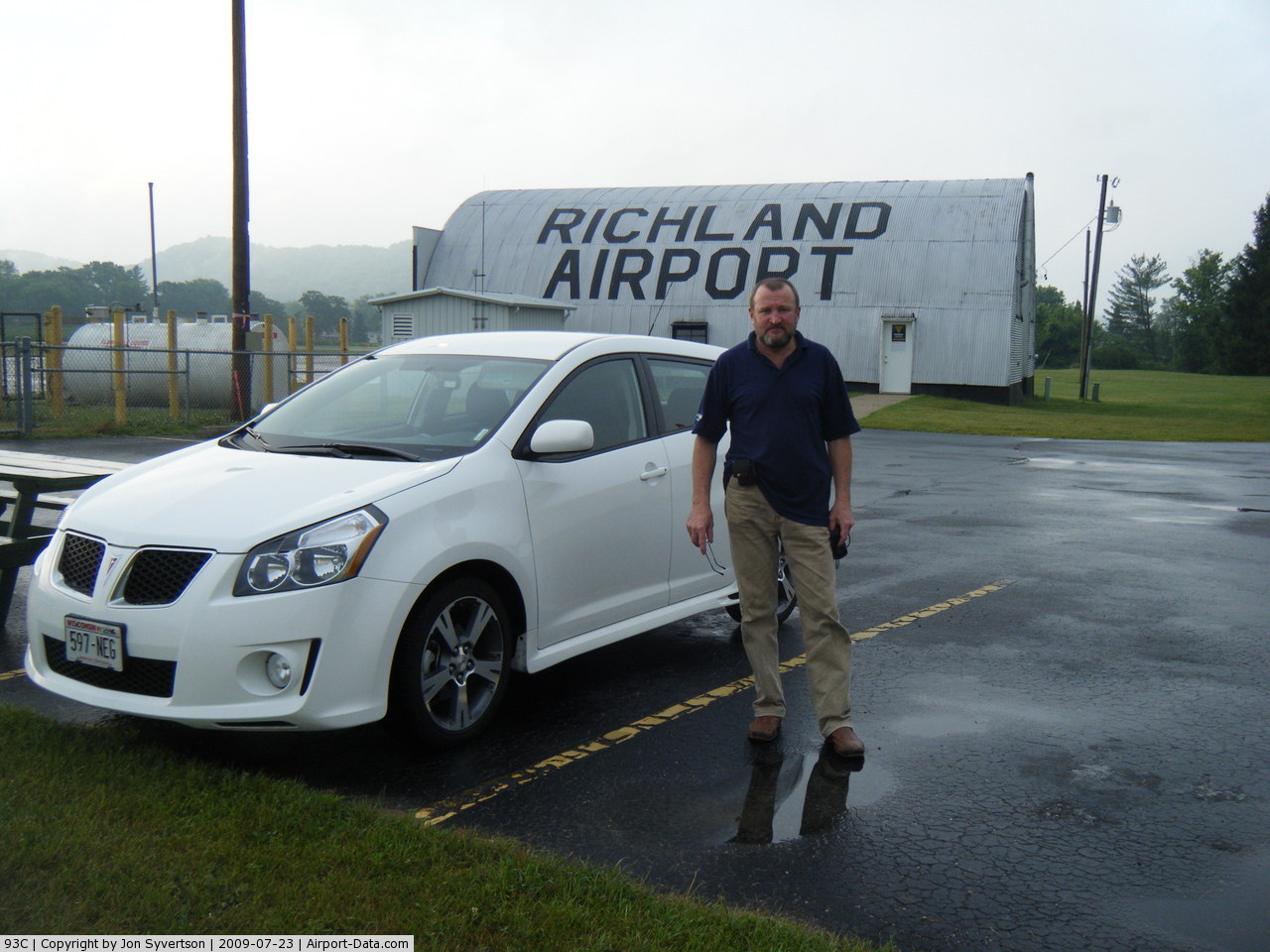
(Click on the photo to enlarge) |
Location & QuickFacts
| FAA Information Effective: | 2008-09-25 |
| Airport Identifier: | 93C |
| Airport Status: | Operational |
| Longitude/Latitude: | 090-17-53.8150W/43-17-00.0870N
-90.298282/43.283358 (Estimated) |
| Elevation: | 742 ft / 226.16 m (Surveyed) |
| Land: | 105 acres |
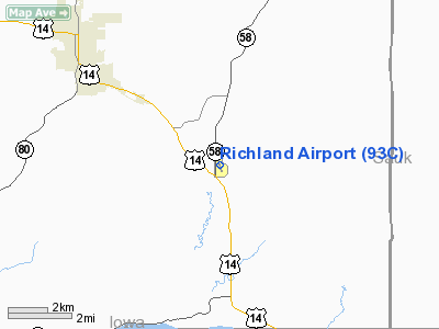
| From nearest city: | 4 nautical miles SE of Richland Center, WI |
| Location: | Richland County, WI |
| Magnetic Variation: | 02E (1980) |
Owner & Manager
| Ownership: | Publicly owned |
| Owner: | City Of Richland Center |
| Address: | 450 S Main St
Richland Center, WI 53581 |
| Phone number: | 608-647-3466 |
| Manager: | Bill Kloehn |
| Address: | 454 W Second Street
Richland Center, WI 53581 |
| Phone number: | 608-604-3989 |
Airport Operations and Facilities
| Airport Use: | Open to public |
| Wind indicator: | Yes |
| Segmented Circle: | Yes |
| Control Tower: | No |
| Lighting Schedule: | DUSK-DAWN
ACTVT MIRL RY 17/35; PAPI & REIL RYS 17 & 35 - CTAF. |
| Beacon Color: | Clear-Green (lighted land airport) |
| Landing fee charge: | No |
| Sectional chart: | Chicago |
| Region: | AGL - Great Lakes |
| Boundary ARTCC: | ZAU - Chicago |
| Tie-in FSS: | GRB - Green Bay |
| FSS on Airport: | No |
| FSS Toll Free: | 1-800-WX-BRIEF |
| NOTAMs Facility: | GRB (NOTAM-d service avaliable) |
| Federal Agreements: | N1 |
Airport Communications
Airport Services
| Fuel available: | 100LL
CALL 608-647-8804 FOR FUEL. |
| Airframe Repair: | NONE |
| Power Plant Repair: | NONE |
| Bottled Oxygen: | NONE |
| Bulk Oxygen: | NONE |
Runway Information
Runway 09/27
| Dimension: | 1500 x 100 ft / 457.2 x 30.5 m |
| Surface: | TURF, Fair Condition |
| |
Runway 09 |
Runway 27 |
| Longitude: | 090-17-59.8800W | 090-17-39.6000W |
| Latitude: | 43-16-54.7400N | 43-16-54.8600N |
| Elevation: | 717.00 ft | 728.00 ft |
| Alignment: | 90 | 127 |
| Traffic Pattern: | Left | Left |
| Markings: | None,
09/27 MKD WITH WHITE & ORANGE PANELS. | None, |
| Runway End Identifier: | No | No |
| Centerline Lights: | No | No |
| Touchdown Lights: | No | No |
| Obstruction: | 15 ft road, 330.0 ft from runway, 22:1 slope to clear | 55 ft tree, 550.0 ft from runway, 125 ft left of centerline, 10:1 slope to clear |
|
Runway 17/35
| Dimension: | 3200 x 60 ft / 975.4 x 18.3 m |
| Surface: | ASPH, Good Condition |
| Weight Limit: | Single wheel: 12500 lbs. |
| Edge Lights: | Medium |
| |
Runway 17 |
Runway 35 |
| Longitude: | 090-18-00.9600W | 090-17-50.4900W |
| Latitude: | 43-17-17.9000N | 43-16-47.2300N |
| Elevation: | 742.00 ft | 723.00 ft |
| Alignment: | 127 | 127 |
| Traffic Pattern: | Left | Left |
| Markings: | Non-precision instrument, Good Condition | Non-precision instrument, Good Condition |
| Crossing Height: | 33.00 ft | 24.00 ft |
| VASI: | 2-light PAPI on left side | 2-light PAPI on left side |
| Visual Glide Angle: | 3.50° | 3.50° |
| Runway End Identifier: | Yes | Yes |
| Centerline Lights: | No | No |
| Touchdown Lights: | No | No |
| Obstruction: | 80 ft trees, 1800.0 ft from runway, 20:1 slope to clear | 25 ft tree, 700.0 ft from runway, 140 ft right of centerline, 20:1 slope to clear |
|
Radio Navigation Aids
| ID |
Type |
Name |
Ch |
Freq |
Var |
Dist |
| HBW | NDB | Kickapoo | | 251.00 | 03E | 22.4 nm |
| MRJ | NDB | Mineral Point | | 365.00 | 00W | 24.0 nm |
| PVB | NDB | Platteville | | 203.00 | 01E | 36.3 nm |
| CMY | NDB | Mccoy | | 412.00 | 00E | 42.1 nm |
| MS | NDB | Monah | | 400.00 | 00E | 43.8 nm |
| VOK | TACAN | Volk | 041X | | 00E | 39.7 nm |
| LNR | VOR/DME | Lone Rock | 075X | 112.80 | 00E | 7.3 nm |
| DLL | VORTAC | Dells | 117X | 117.00 | 03E | 28.3 nm |
| MSN | VORTAC | Madison | 023X | 108.60 | 03E | 42.8 nm |
Remarks
- ULTRALIGHT ACTVTY ON & IN VCNTY OF ARPT.
- DEER ON & INVOF ARPT.
- RY 09/27 NOT PLOWED; CONFIRM WINTER & SPRING RY CONDITIONS WITH AMGR 608-647-8804.
Images and information placed above are from
http://www.airport-data.com/airport/93C/
We thank them for the data!
| General Info
|
| Country |
United States
|
| State |
WISCONSIN
|
| FAA ID |
93C
|
| Latitude |
43-17-00.087N
|
| Longitude |
090-17-53.815W
|
| Elevation |
742 feet
|
| Near City |
RICHLAND CENTER
|
We don't guarantee the information is fresh and accurate. The data may
be wrong or outdated.
For more up-to-date information please refer to other sources.
|
|