 |
|
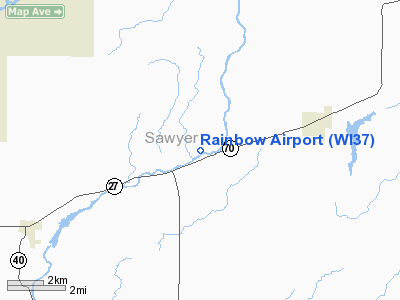
Location & QuickFacts
| FAA Information Effective: | 2008-09-25 |
| Airport Identifier: | WI37 |
| Airport Status: | Operational |
| Longitude/Latitude: | 091-05-46.5860W/45-48-29.8580N
-91.096274/45.808294 (Estimated) |
| Elevation: | 1321 ft / 402.64 m (Estimated) |
| Land: | 15 acres |
| From nearest city: | 1 nautical miles NE of Ojibwa, WI |
| Location: | Sawyer County, WI |
| Magnetic Variation: | 01E (1985) |
Owner & Manager
| Ownership: | Privately owned |
| Owner: | Wayne K. Carpenter |
| Address: | N4734-cth-g
Winter, WI 54896 |
| Phone number: | 715-266-7941 |
| Manager: | Wayne K. Carpenter |
| Address: | N4734-cth-g
Winter, WI 54896 |
| Phone number: | 715-266-7941 |
Airport Operations and Facilities
| Airport Use: | Private |
| Segmented Circle: | No |
| Control Tower: | No |
| Landing fee charge: | No |
| Sectional chart: | Green Bay |
| Region: | AGL - Great Lakes |
| Traffic Pattern Alt: | 800 ft |
| Boundary ARTCC: | ZMP - Minneapolis |
| Tie-in FSS: | GRB - Green Bay |
| FSS on Airport: | No |
| FSS Toll Free: | 1-800-WX-BRIEF |
Airport Services
| Airframe Repair: | NONE |
| Power Plant Repair: | NONE |
Runway Information
Runway 07/25
| Dimension: | 3300 x 90 ft / 1005.8 x 27.4 m
RWY WIDTH 90' AT NORTHEAST END GRADUALLY WIDENS TO 185' AT SOUTHWEST END. |
| Surface: | TURF, Poor Condition |
| |
Runway 07 |
Runway 25 |
| Traffic Pattern: | Left | Left |
| Markings: | None, | None, |
| Centerline Lights: | No | No |
|
Radio Navigation Aids
| ID |
Type |
Name |
Ch |
Freq |
Var |
Dist |
| RCX | NDB | Rusk County | | 356.00 | 00W | 18.8 nm |
| SLY | NDB | Seeley | | 344.00 | 01E | 21.9 nm |
| PKF | NDB | Park Falls | | 371.00 | 01W | 29.4 nm |
| PBH | NDB | Phillips | | 263.00 | 00E | 29.4 nm |
| SSQ | NDB | Shell Lake | | 212.00 | 01E | 34.9 nm |
| UBE | NDB | Cumberland | | 375.00 | 01E | 41.1 nm |
| OLG | NDB | Solon Springs | | 388.00 | 01E | 42.8 nm |
| ENY | NDB | Kennedy | | 254.00 | 02E | 45.4 nm |
| HYR | VOR/DME | Hayward | 081X | 113.40 | 03E | 19.4 nm |
| RPD | VOR/DME | Rice Lake | 037X | 110.00 | 01E | 37.1 nm |
| ASX | VOR/DME | Ashland | 039X | 110.20 | 02E | 45.2 nm |
Remarks
- NO SNOW REMOVAL. OPEN WINTER MOS TO SKI-EQUIPPED ACFT ONLY.
- RWY 07 40' TREES 100' FROM THR 100' LEFT & RIGHT.
- 20'-40' TREES FULL LENGTH NORTH SIDE, NORTHEAST HALF SOUTH SIDE.
- NOT RESPONSIBLE FOR TRANSIENT AIRCRAFT LANDING.
Images and information placed above are from
http://www.airport-data.com/airport/WI37/
We thank them for the data!
| General Info
|
| Country |
United States
|
| State |
WISCONSIN
|
| FAA ID |
WI37
|
| Latitude |
45-48-29.858N
|
| Longitude |
091-05-46.586W
|
| Elevation |
1321 feet
|
| Near City |
OJIBWA
|
We don't guarantee the information is fresh and accurate. The data may
be wrong or outdated.
For more up-to-date information please refer to other sources.
|
|


