|
|
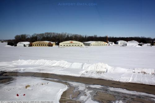 |
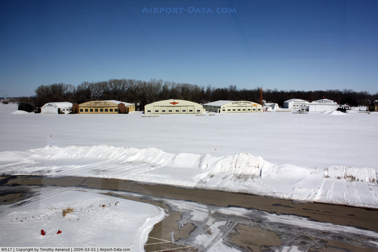
(Click on the photo to enlarge) |
Location & QuickFacts
| FAA Information Effective: | 2008-09-25 |
| Airport Identifier: | WS17 |
| Airport Status: | Operational |
| Longitude/Latitude: | 088-34-42.4070W/43-59-21.9410N
-88.578446/43.989428 (Estimated) |
| Elevation: | 826 ft / 251.76 m (Estimated) |
| Land: | 15 acres |
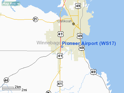
| From nearest city: | 2 nautical miles S of Oshkosh, WI |
| Location: | Winnebago County, WI |
| Magnetic Variation: | 01W (1985) |
Owner & Manager
| Ownership: | Privately owned |
| Owner: | Eaa Aviation Foundation |
| Address: | Wittman Field
Oshkosh, WI 54903-3065 |
| Phone number: | 414-426-4800 |
| Manager: | Tom Poberezny |
| Address: |
|
| Phone number: | 414-426-4800 |
Airport Operations and Facilities
| Airport Use: | Private |
| Wind indicator: | Yes |
| Segmented Circle: | No |
| Control Tower: | No |
| Sectional chart: | Chicago |
| Region: | AGL - Great Lakes |
| Boundary ARTCC: | ZAU - Chicago |
| Tie-in FSS: | GRB - Green Bay |
| FSS on Airport: | No |
| FSS Toll Free: | 1-800-WX-BRIEF |
Runway Information
Runway 13/31
| Dimension: | 2200 x 80 ft / 670.6 x 24.4 m |
| Surface: | TURF, |
| |
Runway 13 |
Runway 31 |
| Traffic Pattern: | Left | Right |
|
Radio Navigation Aids
| ID |
Type |
Name |
Ch |
Freq |
Var |
Dist |
| AQ | NDB | Kooky | | 407.00 | 02W | 15.7 nm |
| PCZ | NDB | Waupaca | | 382.00 | 01W | 27.9 nm |
| SG | NDB | Depre | | 332.00 | 02W | 31.2 nm |
| UNU | NDB | Juneau | | 344.00 | 01W | 34.1 nm |
| CLI | NDB | Clintonville | | 209.00 | 02W | 38.4 nm |
| LLE | NDB | Kettle Moraine | | 329.00 | 01W | 39.2 nm |
| HXF | NDB | Hartford | | 200.00 | 00E | 39.4 nm |
| RYV | NDB | Rock River | | 371.00 | 01W | 49.4 nm |
| BJB | VOR | West Bend | | 109.80 | 01W | 39.4 nm |
| FAH | VOR/DME | Falls | 37X | 110.00 | 02W | 34.3 nm |
| MTW | VOR/DME | Manitowoc | 047X | 111.00 | 02W | 39.7 nm |
| OSH | VORTAC | Oshkosh | 055X | 111.80 | 02E | 1.0 nm |
| GRB | VORTAC | Green Bay | 102X | 115.50 | 01E | 37.8 nm |
Remarks
- PRVDD OPNS ARE CONDD IN ACCORD WITH LTR OF AGRMNT BTWN PIONEER & WITTMAN FLD ARPTS & OSHKOSH ATCT.
Images and information placed above are from
http://www.airport-data.com/airport/WS17/
We thank them for the data!
| General Info
|
| Country |
United States
|
| State |
WISCONSIN
|
| FAA ID |
WS17
|
| Latitude |
43-59-21.941N
|
| Longitude |
088-34-42.407W
|
| Elevation |
826 feet
|
| Near City |
OSHKOSH
|
We don't guarantee the information is fresh and accurate. The data may
be wrong or outdated.
For more up-to-date information please refer to other sources.
|
|