 |
|
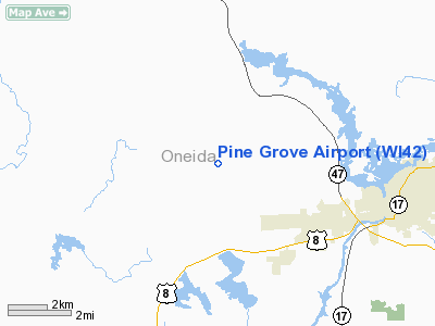
Location & QuickFacts
| FAA Information Effective: | 2008-09-25 |
| Airport Identifier: | WI42 |
| Airport Status: | Operational |
| Longitude/Latitude: | 089-31-47.4890W/45-39-25.8400N
-89.529858/45.657178 (Estimated) |
| Elevation: | 1630 ft / 496.82 m (Estimated) |
| Land: | 240 acres |
| From nearest city: | 5 nautical miles W of Rhinelander, WI |
| Location: | Oneida County, WI |
| Magnetic Variation: | 01W (1985) |
Owner & Manager
| Ownership: | Privately owned |
| Owner: | Rodney E. Elg |
| Address: | P.o. Box 715
Rhinelander, WI 54501 |
| Phone number: | 715-282-5558 |
| Manager: | Rodney C. Elg |
| Address: | P.o. Box 715
Rhinelander, WI 54501 |
| Phone number: | 715-282-5558 |
Airport Operations and Facilities
| Airport Use: | Private |
| Wind indicator: | Yes |
| Segmented Circle: | No |
| Control Tower: | No |
| Landing fee charge: | No |
| Sectional chart: | Green Bay |
| Region: | AGL - Great Lakes |
| Boundary ARTCC: | ZMP - Minneapolis |
| Tie-in FSS: | GRB - Green Bay |
| FSS on Airport: | No |
| FSS Toll Free: | 1-800-WX-BRIEF |
Airport Services
| Airframe Repair: | MAJOR |
| Power Plant Repair: | MAJOR |
Runway Information
Runway 08/26
| Dimension: | 2200 x 80 ft / 670.6 x 24.4 m |
| Surface: | TURF, |
| |
Runway 08 |
Runway 26 |
| Traffic Pattern: | Left | Left |
|
Runway 16/34
| Dimension: | 3000 x 100 ft / 914.4 x 30.5 m |
| Surface: | TURF, |
| |
Runway 16 |
Runway 34 |
| Traffic Pattern: | Left | Left |
|
Radio Navigation Aids
| ID |
Type |
Name |
Ch |
Freq |
Var |
Dist |
| DO | NDB | Dougy | | 236.00 | 01W | 13.6 nm |
| ARV | NDB | Arbor Vitae | | 221.00 | 01W | 18.2 nm |
| EGV | NDB | Eagle River | | 341.00 | 02W | 20.0 nm |
| RRL | NDB | Merrill | | 257.00 | 01W | 28.5 nm |
| BDJ | NDB | Boulder Junction | | 206.00 | 02E | 29.1 nm |
| MHA | NDB | Manitowish | | 364.00 | 01W | 31.7 nm |
| LNL | NDB | Land O Lakes | | 396.00 | 02W | 32.5 nm |
| AIG | NDB | Antigo | | 347.00 | 02W | 34.7 nm |
| PBH | NDB | Phillips | | 263.00 | 00E | 37.2 nm |
| RXW | NDB | Watersmeet | | 407.00 | 01E | 39.4 nm |
| PKF | NDB | Park Falls | | 371.00 | 01W | 41.6 nm |
| FZK | NDB | Wausau | | 243.00 | 01E | 44.0 nm |
| MDZ | NDB | Medford | | 335.00 | 00E | 46.7 nm |
| RHI | VORTAC | Rhinelander | 029X | 109.20 | 02E | 3.3 nm |
| AUW | VORTAC | Wausau | 053X | 111.60 | 02E | 48.8 nm |
Remarks
- 30FT POLE 40FT EACH SIDE OF RWY 26, BARN 60FT TO SIDE OF RWY 16.
-
Images and information placed above are from
http://www.airport-data.com/airport/WI42/
We thank them for the data!
| General Info
|
| Country |
United States
|
| State |
WISCONSIN
|
| FAA ID |
WI42
|
| Latitude |
45-39-25.840N
|
| Longitude |
089-31-47.489W
|
| Elevation |
1630 feet
|
| Near City |
RHINELANDER
|
We don't guarantee the information is fresh and accurate. The data may
be wrong or outdated.
For more up-to-date information please refer to other sources.
|
|


