|
|
 |
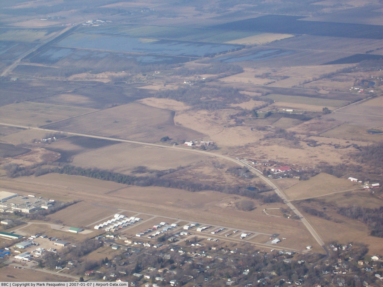
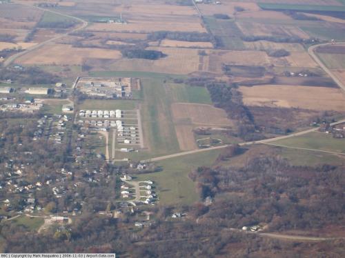
(Click on the photo to enlarge) |
 |
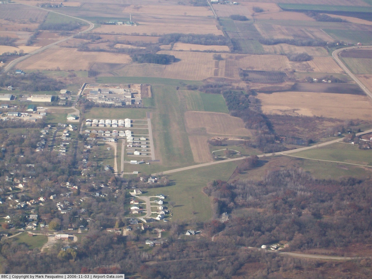
(Click on the photo to enlarge) |
Location & QuickFacts
| FAA Information Effective: | 2008-09-25 |
| Airport Identifier: | 88C |
| Airport Status: | Operational |
| Longitude/Latitude: | 088-35-50.7500W/42-53-00.8000N
-88.597431/42.883556 (Estimated) |
| Elevation: | 851 ft / 259.38 m (Surveyed) |
| Land: | 79 acres |
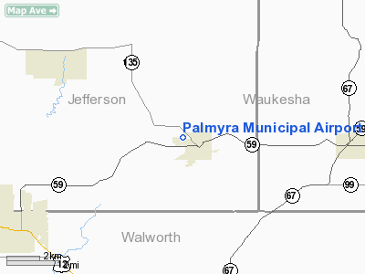
| From nearest city: | 0 nautical miles NW of Palmyra, WI |
| Location: | Jefferson County, WI |
| Magnetic Variation: | 01W (1985) |
Owner & Manager
| Ownership: | Publicly owned |
| Owner: | Palmyra Township |
| Address: | P O Box 163
Palmyra, WI 53156 |
| Phone number: | 262-495-4342 |
| Manager: | Donald A. Agen |
| Address: | 718 W Wisconsin St
Palmyra, WI 53156 |
| Phone number: | 262-495-4342 |
Airport Operations and Facilities
| Airport Use: | Open to public |
| Wind indicator: | Yes |
| Segmented Circle: | Yes |
| Control Tower: | No |
| Lighting Schedule: | RDO-CTL
ACTVT LIRL RY 09/27 - CTAF. |
| Landing fee charge: | No |
| Sectional chart: | Chicago |
| Region: | AGL - Great Lakes |
| Boundary ARTCC: | ZAU - Chicago |
| Tie-in FSS: | GRB - Green Bay |
| FSS on Airport: | No |
| FSS Toll Free: | 1-800-WX-BRIEF |
| NOTAMs Facility: | GRB (NOTAM-d service avaliable) |
| Federal Agreements: | N1 |
Airport Communications
Airport Services
| Fuel available: | 100LLMOGAS
FOR FUEL CALL 262-495-4342. |
| Airframe Repair: | MAJOR |
| Power Plant Repair: | MAJOR |
| Bottled Oxygen: | NONE |
| Bulk Oxygen: | NONE |
Runway Information
Runway 09/27
| Dimension: | 2800 x 200 ft / 853.4 x 61.0 m |
| Surface: | TURF, Good Condition |
| Edge Lights: | Low |
| |
Runway 09 |
Runway 27 |
| Longitude: | 088-36-05.0000W | 088-35-36.5000W |
| Latitude: | 42-53-00.6000N | 42-53-01.0000N |
| Elevation: | 849.00 ft | 850.00 ft |
| Traffic Pattern: | Left | Left |
| Runway End Identifier: | No | No |
| Centerline Lights: | No | No |
| Touchdown Lights: | No | No |
| Obstruction: | , 50:1 slope to clear | 35 ft tree, 700.0 ft from runway, 200 ft left of centerline, 20:1 slope to clear |
|
Radio Navigation Aids
| ID |
Type |
Name |
Ch |
Freq |
Var |
Dist |
| LVV | NDB | Lake Lawn | | 404.00 | 00W | 11.1 nm |
| RYV | NDB | Rock River | | 371.00 | 01W | 18.3 nm |
| UES | NDB | Waukesha | | 359.00 | 01W | 18.6 nm |
| GM | NDB | Teels | | 242.00 | 02W | 24.6 nm |
| JVL | NDB | Janesville | | 375.00 | 03E | 25.4 nm |
| HXF | NDB | Hartford | | 200.00 | 00E | 29.3 nm |
| RA | NDB | Paser | | 206.00 | 00E | 33.1 nm |
| UNU | NDB | Juneau | | 344.00 | 01W | 33.1 nm |
| BL | NDB | Yanks | | 260.00 | 02W | 33.4 nm |
| MS | NDB | Monah | | 400.00 | 00E | 34.6 nm |
| LLE | NDB | Kettle Moraine | | 329.00 | 01W | 38.5 nm |
| BJB | VOR | West Bend | | 109.80 | 01W | 38.4 nm |
| BUU | VOR/DME | Burbun | 092X | 114.50 | 01W | 17.5 nm |
| LJT | VOR/DME | Timmerman | 072X | 112.50 | 02W | 28.1 nm |
| JVL | VOR/DME | Janesville | 090X | 114.30 | 03E | 29.8 nm |
| ENW | VOR/DME | Kenosha | 029X | 109.20 | 02W | 34.0 nm |
| HRK | VOR/DME | Horlick | 124X | 117.70 | 02W | 35.3 nm |
| RFD | VOR/DME | Rockford | 045X | 110.80 | 01E | 47.7 nm |
| OBK | VOR/DME | Northbrook | 077X | 113.00 | 02W | 49.0 nm |
| BAE | VORTAC | Badger | 111X | 116.40 | 02E | 19.6 nm |
| MSN | VORTAC | Madison | 023X | 108.60 | 03E | 36.2 nm |
| MKE | VOT | Milwaukee | | 109.00 | | 31.1 nm |
Remarks
Images and information placed above are from
http://www.airport-data.com/airport/88C/
We thank them for the data!
| General Info
|
| Country |
United States
|
| State |
WISCONSIN
|
| FAA ID |
88C
|
| Latitude |
42-53-00.800N
|
| Longitude |
088-35-50.750W
|
| Elevation |
851 feet
|
| Near City |
PALMYRA
|
We don't guarantee the information is fresh and accurate. The data may
be wrong or outdated.
For more up-to-date information please refer to other sources.
|
|