 |
|
Location & QuickFacts
| FAA Information Effective: | 2008-09-25 |
| Airport Identifier: | 97WI |
| Airport Status: | Operational |
| Longitude/Latitude: | 090-51-37.0000W/44-57-47.8800N
-90.860278/44.963300 (Estimated) |
| Elevation: | 1145 ft / 349.00 m (Estimated) |
| Land: | 7 acres |
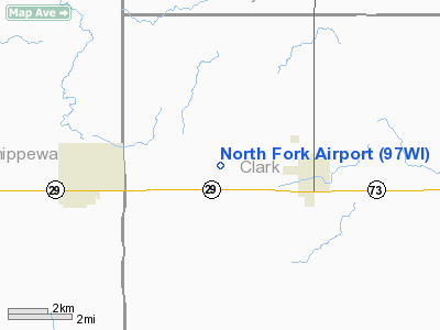
| From nearest city: | 3 nautical miles W of Thorp, WI |
| Location: | Clark County, WI |
| Magnetic Variation: | 01E (1985) |
Owner & Manager
| Ownership: | Privately owned |
| Owner: | Phillip N. Miller |
| Address: | Po Box 600
Thorp, WI 54771 |
| Phone number: | 715-669-5534 |
| Manager: | Phillip N. Miller |
| Address: | Po Box 600
Thorp, WI 54771 |
| Phone number: | 715-669-5534 |
Airport Operations and Facilities
| Airport Use: | Private |
| Wind indicator: | Yes |
| Segmented Circle: | No |
| Control Tower: | No |
| Landing fee charge: | No |
| Sectional chart: | Green Bay |
| Region: | AGL - Great Lakes |
| Boundary ARTCC: | ZMP - Minneapolis |
| Tie-in FSS: | GRB - Green Bay |
| FSS on Airport: | No |
| FSS Toll Free: | 1-800-WX-BRIEF |
Runway Information
Runway 09/27
| Dimension: | 1740 x 150 ft / 530.4 x 45.7 m |
| Surface: | TURF, |
| Edge Lights: | Low |
| |
Runway 09 |
Runway 27 |
| Traffic Pattern: | Left | Left |
| Displaced threshold: | 0.00 ft | 270.00 ft |
|
Radio Navigation Aids
| ID |
Type |
Name |
Ch |
Freq |
Var |
Dist |
| MDZ | NDB | Medford | | 335.00 | 00E | 24.9 nm |
| VIQ | NDB | Neillsville | | 368.00 | 01W | 28.5 nm |
| RCX | NDB | Rusk County | | 356.00 | 00W | 32.9 nm |
| MFI | NDB | Marshfield | | 391.00 | 00E | 34.6 nm |
| BCK | NDB | Black River Falls | | 362.00 | 00E | 42.6 nm |
| PBH | NDB | Phillips | | 263.00 | 00E | 48.3 nm |
| RPD | VOR/DME | Rice Lake | 037X | 110.00 | 01E | 47.4 nm |
| EAU | VORTAC | Eau Claire | 076X | 112.90 | 04E | 26.6 nm |
Images and information placed above are from
http://www.airport-data.com/airport/97WI/
We thank them for the data!
| General Info
|
| Country |
United States
|
| State |
WISCONSIN
|
| FAA ID |
97WI
|
| Latitude |
44-57-47.880N
|
| Longitude |
090-51-40.497W
|
| Elevation |
1140 feet
|
| Near City |
THORP
|
We don't guarantee the information is fresh and accurate. The data may
be wrong or outdated.
For more up-to-date information please refer to other sources.
|
|


