 |
|
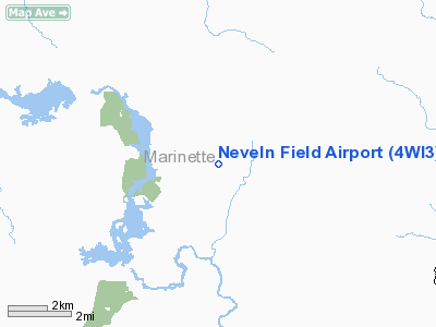
Location & QuickFacts
| FAA Information Effective: | 2008-09-25 |
| Airport Identifier: | 4WI3 |
| Airport Status: | Operational |
| Longitude/Latitude: | 088-08-14.3890W/45-19-30.8920N
-88.137330/45.325248 (Estimated) |
| Elevation: | 900 ft / 274.32 m (Estimated) |
| Land: | 0 acres |
| From nearest city: | 10 nautical miles NW of Crivitz, WI |
| Location: | Marinette County, WI |
| Magnetic Variation: | 02W (1985) |
Owner & Manager
| Ownership: | Privately owned |
| Owner: | Edward A. Neveln |
| Address: | Rt 3, Box 231
Crivitz, WI 54114 |
| Phone number: | 715-757-3842 |
| Manager: | Edward A. Neveln |
| Address: | Rt 3, Box 324
Crivitz, WI 54114 |
| Phone number: | 715-757-3842 |
Airport Operations and Facilities
| Airport Use: | Private |
| Segmented Circle: | No |
| Control Tower: | No |
| Lighting Schedule: | PHONE REQ
FOR LIRL 9/27 CALL 715-757-3842. |
| Sectional chart: | Green Bay |
| Region: | AGL - Great Lakes |
| Boundary ARTCC: | ZMP - Minneapolis |
| Tie-in FSS: | GRB - Green Bay |
| FSS on Airport: | No |
| FSS Toll Free: | 1-800-WX-BRIEF |
Airport Communications
Runway Information
Runway 09/27
| Dimension: | 2650 x 120 ft / 807.7 x 36.6 m |
| Surface: | TURF, |
| Edge Lights: | Low |
| |
Runway 09 |
Runway 27 |
| Traffic Pattern: | Left | Left |
|
Runway 15/33
| Dimension: | 1800 x 100 ft / 548.6 x 30.5 m |
| Surface: | TURF, |
| |
Runway 15 |
Runway 33 |
| Traffic Pattern: | Left | Left |
|
Radio Navigation Aids
| ID |
Type |
Name |
Ch |
Freq |
Var |
Dist |
| OCQ | NDB | Oconto | | 388.00 | 03W | 28.6 nm |
| SUE | NDB | Sturgeon Bay | | 414.00 | 03W | 42.2 nm |
| AIG | NDB | Antigo | | 347.00 | 02W | 42.5 nm |
| CLI | NDB | Clintonville | | 209.00 | 02W | 49.4 nm |
| MNM | VOR/DME | Menominee | 033X | 109.60 | 00E | 22.5 nm |
| IMT | VOR/DME | Iron Mountain | 049X | 111.20 | 02W | 29.5 nm |
| GRB | VORTAC | Green Bay | 102X | 115.50 | 01E | 46.4 nm |
Images and information placed above are from
http://www.airport-data.com/airport/4WI3/
We thank them for the data!
| General Info
|
| Country |
United States
|
| State |
WISCONSIN
|
| FAA ID |
4WI3
|
| Latitude |
45-19-30.892N
|
| Longitude |
088-08-14.389W
|
| Elevation |
900 feet
|
| Near City |
CRIVITZ
|
We don't guarantee the information is fresh and accurate. The data may
be wrong or outdated.
For more up-to-date information please refer to other sources.
|
|


