|
|
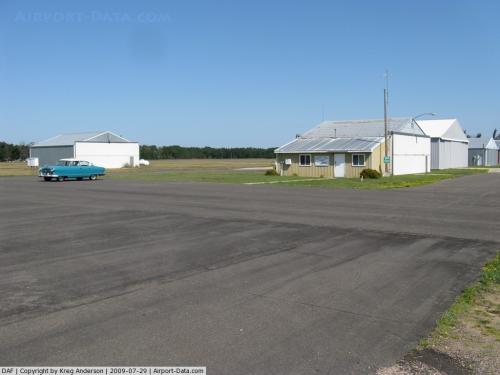 |
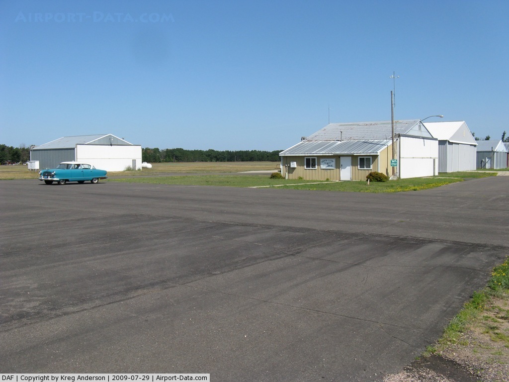
(Click on the photo to enlarge) |
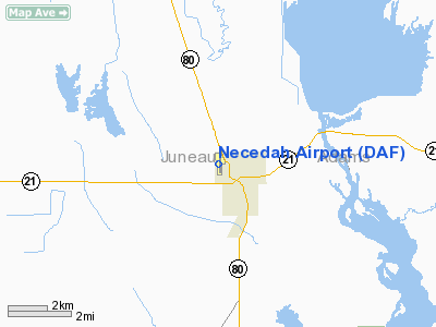
Location & QuickFacts
| FAA Information Effective: | 2008-09-25 |
| Airport Identifier: | DAF |
| Airport Status: | Operational |
| Longitude/Latitude: | 090-05-06.4240W/44-02-00.3620N
-90.085118/44.033434 (Estimated) |
| Elevation: | 919 ft / 280.11 m (Surveyed) |
| Land: | 93 acres |
| From nearest city: | 1 nautical miles NW of Necedah, WI |
| Location: | Juneau County, WI |
| Magnetic Variation: | 01W (2000) |
Owner & Manager
| Ownership: | Publicly owned |
| Owner: | Village Of Necedah |
| Address: | Village Hall
Necedah, WI 54646 |
| Phone number: | 608-565-2261 |
| Manager: | Jack Jasinski |
| Address: | W6827 20th Street W
Necedah, WI 54646 |
| Phone number: | 608-565-7248
AIRPORT PHONE 608-565-3900. |
Airport Operations and Facilities
| Airport Use: | Open to public |
| Wind indicator: | Yes |
| Segmented Circle: | Yes |
| Control Tower: | No |
| Lighting Schedule: | DUSK-DAWN
ACTVT LIRL RY 18/36 - CTAF. |
| Beacon Color: | Clear-Green (lighted land airport) |
| Landing fee charge: | No |
| Sectional chart: | Green Bay |
| Region: | AGL - Great Lakes |
| Traffic Pattern Alt: | 1000 ft |
| Boundary ARTCC: | ZAU - Chicago |
| Tie-in FSS: | GRB - Green Bay |
| FSS on Airport: | No |
| FSS Toll Free: | 1-800-WX-BRIEF |
| NOTAMs Facility: | GRB (NOTAM-d service avaliable) |
Airport Communications
| CTAF: | 122.700 |
| Unicom: | 122.700 |
Airport Services
| Airframe Repair: | MINOR |
| Power Plant Repair: | MINOR |
| Bottled Oxygen: | NONE |
| Bulk Oxygen: | NONE |
Runway Information
Runway 18/36
| Dimension: | 2700 x 60 ft / 823.0 x 18.3 m
HAS 550 FT PAVED STWY N END AND 650 FT PAVED STWY S END. |
| Surface: | ASPH, Fair Condition |
| Edge Lights: | Low |
| |
Runway 18 |
Runway 36 |
| Longitude: | 090-05-06.5710W | 090-05-06.2780W |
| Latitude: | 44-02-13.6930N | 44-01-47.0310N |
| Elevation: | 912.00 ft | 919.00 ft |
| Alignment: | 127 | 127 |
| Traffic Pattern: | Left | Left |
| Markings: | Non-precision instrument, Good Condition | Non-precision instrument, Good Condition |
| Obstruction: | 50 ft trees, 1200.0 ft from runway, 20:1 slope to clear | 50 ft trees, 1200.0 ft from runway, 250 ft left of centerline, 20:1 slope to clear |
|
Radio Navigation Aids
| ID |
Type |
Name |
Ch |
Freq |
Var |
Dist |
| ISW | NDB | Wisconsin Rapids | | 215.00 | 01W | 22.5 nm |
| CMY | NDB | Mccoy | | 412.00 | 00E | 24.8 nm |
| HBW | NDB | Kickapoo | | 251.00 | 03E | 25.1 nm |
| BCK | NDB | Black River Falls | | 362.00 | 00E | 35.5 nm |
| VIQ | NDB | Neillsville | | 368.00 | 01W | 36.5 nm |
| MFI | NDB | Marshfield | | 391.00 | 00E | 36.8 nm |
| PCZ | NDB | Waupaca | | 382.00 | 01W | 49.4 nm |
| VOK | TACAN | Volk | 041X | | 00E | 9.3 nm |
| LNR | VOR/DME | Lone Rock | 075X | 112.80 | 00E | 44.5 nm |
| DLL | VORTAC | Dells | 117X | 117.00 | 03E | 32.2 nm |
| STE | VORTAC | Stevens Point | 043X | 110.60 | 01W | 38.8 nm |
Remarks
- DURG WINTER MONTHS CALL 608-565-7248 BEFORE LNDG TO DTRM STATUS.
- VFR OPNS ONLY; OBSTRUCTIONS ARE REMOVED OR LOWERED ON RWY ENDS OR THRESHOLDS ARE DISPLACED TO PROVIDE 20:1 CLEARANCE.
Images and information placed above are from
http://www.airport-data.com/airport/DAF/
We thank them for the data!
| General Info
|
| Country |
United States
|
| State |
WISCONSIN
|
| FAA ID |
DAF
|
| Latitude |
44-02-00.362N
|
| Longitude |
090-05-06.424W
|
| Elevation |
919 feet
|
| Near City |
NECEDAH
|
We don't guarantee the information is fresh and accurate. The data may
be wrong or outdated.
For more up-to-date information please refer to other sources.
|
|