 |
|
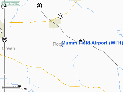
Location & QuickFacts
| FAA Information Effective: | 2008-09-25 |
| Airport Identifier: | WI11 |
| Airport Status: | Operational |
| Longitude/Latitude: | 089-14-26.4120W/42-35-29.0360N
-89.240670/42.591399 (Estimated) |
| Elevation: | 945 ft / 288.04 m (Estimated) |
| Land: | 0 acres |
| From nearest city: | 3 nautical miles S of Orfordville, WI |
| Location: | Rock County, WI |
| Magnetic Variation: | 01W (1995) |
Owner & Manager
| Ownership: | Privately owned |
| Owner: | Scott A. Mumm |
| Address: | 6341 S County K
Brodhead, WI 53520 |
| Phone number: | 608-879-3944 |
| Manager: | Scott A. Mumm |
| Address: | 6341 S County K
Brodhead, WI 53520 |
| Phone number: | 608-879-3944 |
Airport Operations and Facilities
| Airport Use: | Private |
| Segmented Circle: | No |
| Control Tower: | No |
| Sectional chart: | Chicago |
| Region: | AGL - Great Lakes |
| Boundary ARTCC: | ZAU - Chicago |
| Tie-in FSS: | GRB - Green Bay |
| FSS on Airport: | No |
| FSS Toll Free: | 1-800-WX-BRIEF |
Runway Information
Runway 06/24
| Dimension: | 1500 x 100 ft / 457.2 x 30.5 m |
| Surface: | TURF, |
| |
Runway 06 |
Runway 24 |
| Traffic Pattern: | Left | Left |
|
Radio Navigation Aids
| ID |
Type |
Name |
Ch |
Freq |
Var |
Dist |
| JVL | NDB | Janesville | | 375.00 | 03E | 8.9 nm |
| FEP | NDB | Freeport | | 335.00 | 00E | 25.8 nm |
| MS | NDB | Monah | | 400.00 | 00E | 28.7 nm |
| LVV | NDB | Lake Lawn | | 404.00 | 00W | 29.3 nm |
| RYV | NDB | Rock River | | 371.00 | 01W | 41.7 nm |
| DKB | NDB | Dekalb | | 209.00 | 02W | 46.1 nm |
| MRJ | NDB | Mineral Point | | 365.00 | 00W | 47.0 nm |
| JVL | VOR/DME | Janesville | 090X | 114.30 | 03E | 6.3 nm |
| RFD | VOR/DME | Rockford | 045X | 110.80 | 01E | 22.1 nm |
| PLL | VOR/DME | Polo | 049X | 111.20 | 03E | 39.7 nm |
| BUU | VOR/DME | Burbun | 092X | 114.50 | 01W | 41.9 nm |
| MSN | VORTAC | Madison | 023X | 108.60 | 03E | 33.6 nm |
Images and information placed above are from
http://www.airport-data.com/airport/WI11/
We thank them for the data!
| General Info
|
| Country |
United States
|
| State |
WISCONSIN
|
| FAA ID |
WI11
|
| Latitude |
42-35-29.036N
|
| Longitude |
089-14-26.412W
|
| Elevation |
945 feet
|
| Near City |
ORFORDVILLE
|
We don't guarantee the information is fresh and accurate. The data may
be wrong or outdated.
For more up-to-date information please refer to other sources.
|
|


