|
|
 |
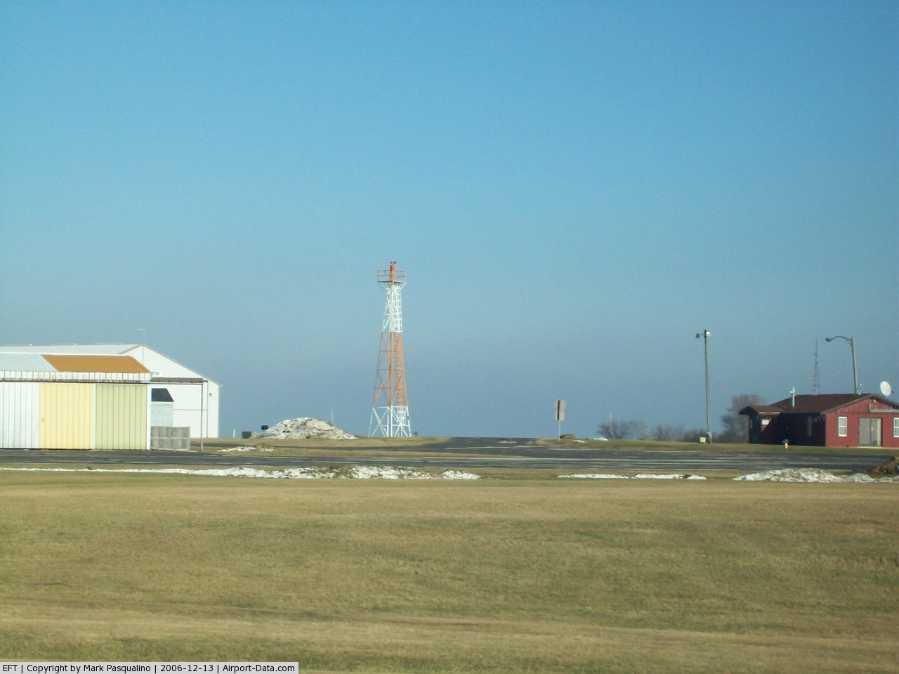
(Click on the photo to enlarge) |
 |
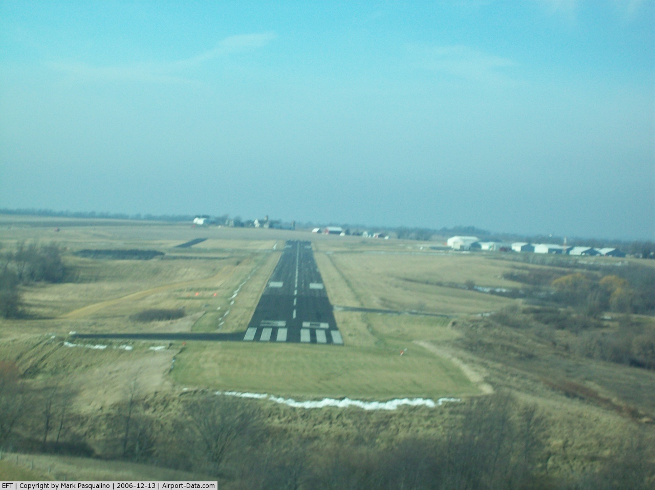
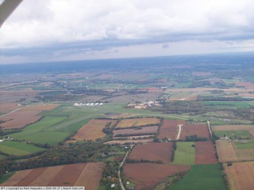
(Click on the photo to enlarge) |
 |
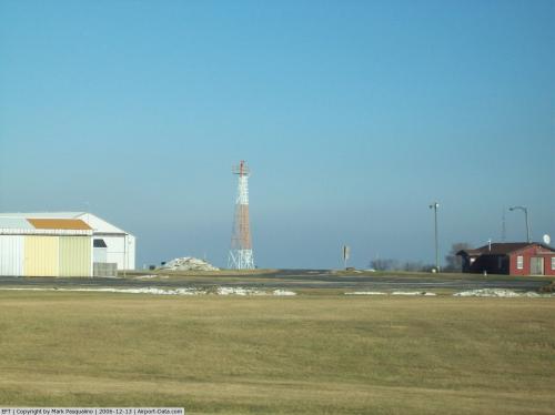
(Click on the photo to enlarge) |
Location & QuickFacts
| FAA Information Effective: | 2008-09-25 |
| Airport Identifier: | EFT |
| Airport Status: | Operational |
| Longitude/Latitude: | 089-35-25.4522W/42-36-53.6425N
-89.590403/42.614901 (Estimated) |
| Elevation: | 1086 ft / 331.01 m (Surveyed) |
| Land: | 257 acres |
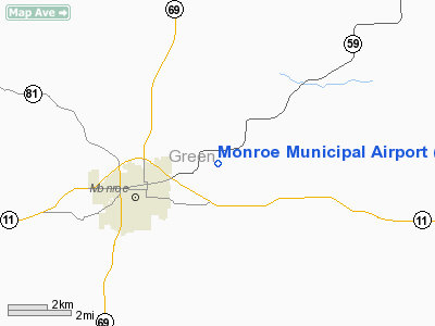
| From nearest city: | 3 nautical miles NE of Monroe, WI |
| Location: | Green County, WI |
| Magnetic Variation: | 00E (1985) |
Owner & Manager
| Ownership: | Publicly owned |
| Owner: | City Of Monroe |
| Address: | 1110 18th Avenue
Monroe, WI 53566 |
| Phone number: | 608-329-4101 |
| Manager: | Kelly Finkenbinder |
| Address: | 1110 18th Avenue
Monroe, WI 53566 |
| Phone number: | 608-329-2506 |
Airport Operations and Facilities
| Airport Use: | Open to public |
| Wind indicator: | Yes |
| Segmented Circle: | No |
| Control Tower: | No |
| Lighting Schedule: | DUSK-DAWN
MIRL RY 12/30 OPERS LOW INTST; TO INCR INTST & ACTVT REIL RYS 12 & 30 & 02 & 20 & PAPI RYS 02 & 30 & MIRL RY 02/20 - CTAF. |
| Beacon Color: | Clear-Green (lighted land airport) |
| Landing fee charge: | No |
| Sectional chart: | Chicago |
| Region: | AGL - Great Lakes |
| Boundary ARTCC: | ZAU - Chicago |
| Tie-in FSS: | GRB - Green Bay |
| FSS on Airport: | No |
| FSS Toll Free: | 1-800-WX-BRIEF |
| NOTAMs Facility: | EFT (NOTAM-d service avaliable) |
| Federal Agreements: | NGY |
Airport Communications
| CTAF: | 123.050 |
| Unicom: | 123.050 |
Airport Services
| Fuel available: | 100LLA |
| Airframe Repair: | MAJOR |
| Power Plant Repair: | MAJOR |
| Bottled Oxygen: | NONE |
| Bulk Oxygen: | NONE |
Runway Information
Runway 02/20
| Dimension: | 3000 x 75 ft / 914.4 x 22.9 m |
| Surface: | ASPH, Good Condition |
| Edge Lights: | Medium |
| |
Runway 02 |
Runway 20 |
| Longitude: | 089-35-40.0990W | 089-35-28.8160W |
| Latitude: | 42-36-37.5820N | 42-37-06.0180N |
| Elevation: | 1057.00 ft | 1085.00 ft |
| Alignment: | 16 | 127 |
| Traffic Pattern: | Left | Left |
| Markings: | Basic, Good Condition | Basic, Good Condition |
| Crossing Height: | 25.00 ft | 0.00 ft |
| VASI: | 2-light PAPI on left side | |
| Visual Glide Angle: | 3.00° | 0.00° |
| Runway End Identifier: | Yes | Yes |
| Centerline Lights: | No | No |
| Touchdown Lights: | No | No |
| Obstruction: | 7 ft tree, 340.0 ft from runway, 25 ft right of centerline, 20:1 slope to clear | 34 ft tree, 950.0 ft from runway, 80 ft left of centerline, 22:1 slope to clear |
|
Runway 12/30
| Dimension: | 5000 x 75 ft / 1524.0 x 22.9 m |
| Surface: | ASPH, Good Condition |
| Weight Limit: | Single wheel: 12500 lbs. |
| Edge Lights: | Medium |
| |
Runway 12 |
Runway 30 |
| Longitude: | 089-35-48.5840W | 089-34-51.5180W |
| Latitude: | 42-37-07.6190N | 42-36-41.8760N |
| Elevation: | 1062.00 ft | 1062.00 ft |
| Alignment: | 122 | 127 |
| Traffic Pattern: | Left | Left |
| Markings: | Non-precision instrument, Good Condition | Non-precision instrument, Good Condition |
| Crossing Height: | 40.00 ft | 30.00 ft |
| VASI: | 2-light PAPI on left side | 2-light PAPI on left side |
| Visual Glide Angle: | 3.15° | 3.00° |
| Runway End Identifier: | Yes | Yes |
| Centerline Lights: | No | No |
| Touchdown Lights: | No | No |
| Obstruction: | 76 ft tree, 1720.0 ft from runway, 320 ft right of centerline, 20:1 slope to clear | 13 ft tree, 490.0 ft from runway, 100 ft right of centerline, 22:1 slope to clear |
|
Radio Navigation Aids
| ID |
Type |
Name |
Ch |
Freq |
Var |
Dist |
| FEP | NDB | Freeport | | 335.00 | 00E | 22.2 nm |
| JVL | NDB | Janesville | | 375.00 | 03E | 24.3 nm |
| MS | NDB | Monah | | 400.00 | 00E | 29.0 nm |
| MRJ | NDB | Mineral Point | | 365.00 | 00W | 32.5 nm |
| PVB | NDB | Platteville | | 203.00 | 01E | 37.7 nm |
| LVV | NDB | Lake Lawn | | 404.00 | 00W | 44.4 nm |
| JVL | VOR/DME | Janesville | 090X | 114.30 | 03E | 21.7 nm |
| RFD | VOR/DME | Rockford | 045X | 110.80 | 01E | 29.1 nm |
| PLL | VOR/DME | Polo | 049X | 111.20 | 03E | 39.1 nm |
| LNR | VOR/DME | Lone Rock | 075X | 112.80 | 00E | 47.3 nm |
| MSN | VORTAC | Madison | 023X | 108.60 | 03E | 33.7 nm |
Remarks
- ULTRALIGHT ACTIVITY ON & INVOF ARPT.
- GCO AVBL ON FREQ 121.725 THRU FLT SVCS.
Images and information placed above are from
http://www.airport-data.com/airport/EFT/
We thank them for the data!
| General Info
|
| Country |
United States
|
| State |
WISCONSIN
|
| FAA ID |
EFT
|
| Latitude |
42-36-53.783N
|
| Longitude |
089-35-26.721W
|
| Elevation |
1085 feet
|
| Near City |
MONROE
|
We don't guarantee the information is fresh and accurate. The data may
be wrong or outdated.
For more up-to-date information please refer to other sources.
|
|