|
|
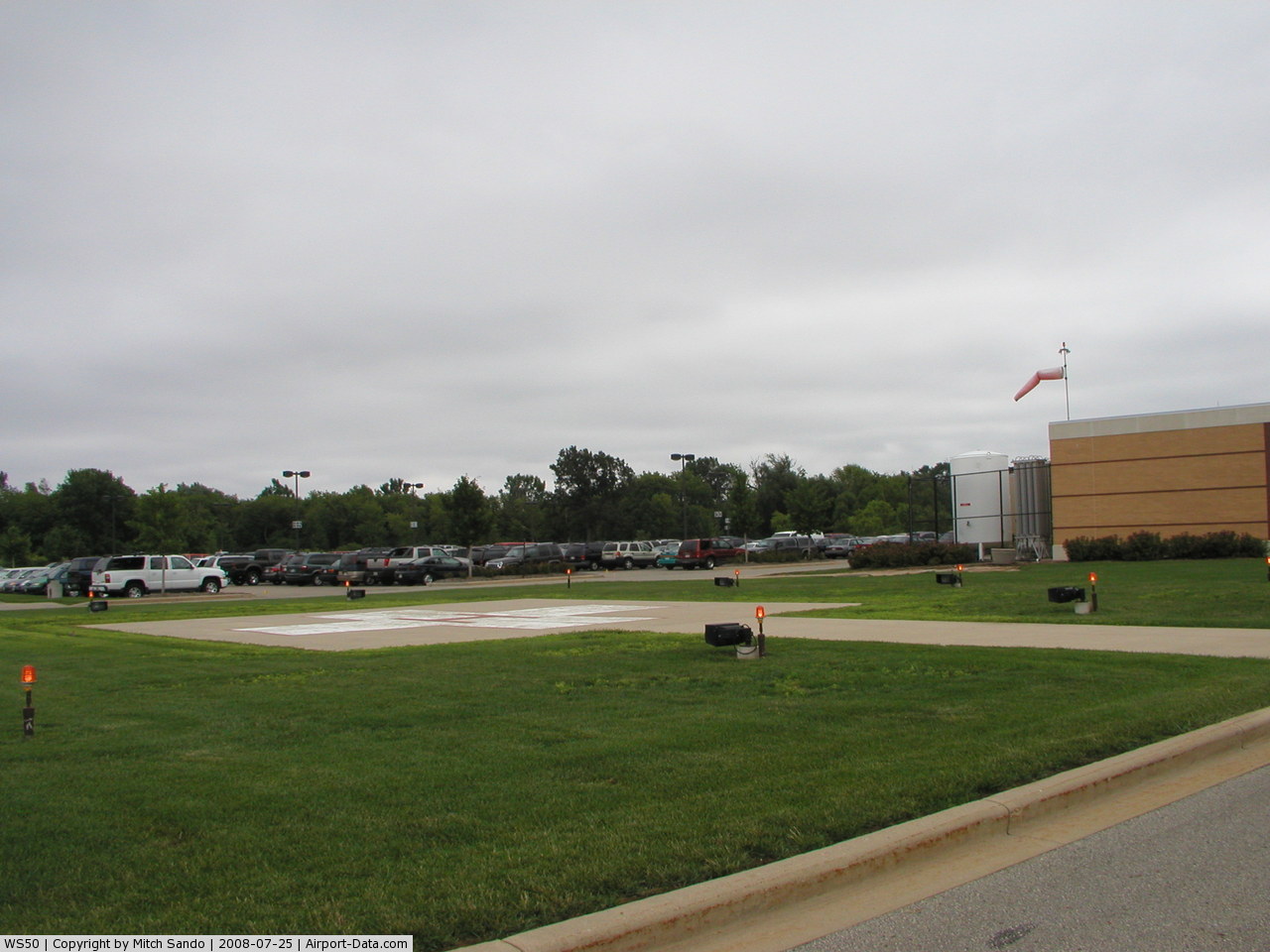
Mercy Medical Center Heliport |
 |
(Click on the photo to enlarge) |
 |
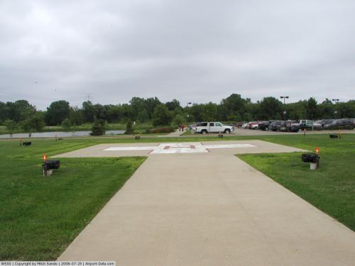
(Click on the photo to enlarge) |
Location & QuickFacts
| FAA Information Effective: | 2008-09-25 |
| Airport Identifier: | WS50 |
| Airport Status: | Operational |
| Longitude/Latitude: | 088-31-21.9100W/44-01-25.4400N
-88.522753/44.023733 (Estimated) |
| Elevation: | 775 ft / 236.22 m (Estimated) |
| Land: | 0 acres |
| From nearest city: | 0 nautical miles N of Oshkosh, WI |
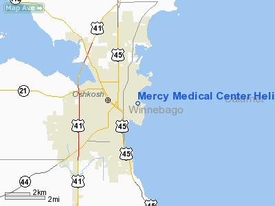
| Location: | Winnebago County, WI |
| Magnetic Variation: | 01W (1985) |
Owner & Manager
| Ownership: | Privately owned |
| Owner: | Mercy Medical Center |
| Address: | 631 Hazel St
Oshkosh, WI 54902 |
| Phone number: | 414-236-2000 |
| Manager: | George R. Thomas |
| Address: | 631 Hazel St.
Oshkosh, WI 54902 |
| Phone number: | 414-236-2022 |
Airport Operations and Facilities
| Airport Use: | Private
MEDICAL USE. |
| Wind indicator: | Yes |
| Segmented Circle: | No |
| Control Tower: | No |
| Lighting Schedule: | PHONE REQ
FOR PERIMETER & FLOOD LGTS CALL 414-236-2000. |
| Sectional chart: | Chicago |
| Region: | AGL - Great Lakes |
| Boundary ARTCC: | ZAU - Chicago |
| Tie-in FSS: | GRB - Green Bay |
| FSS Toll Free: | 1-800-WX-BRIEF |
Runway Information
Helipad H1
| Dimension: | 40 x 40 ft / 12.2 x 12.2 m |
| Surface: | CONC, |
| |
Runway H1 |
Runway |
| Traffic Pattern: | Left | Left |
|
Radio Navigation Aids
| ID |
Type |
Name |
Ch |
Freq |
Var |
Dist |
| AQ | NDB | Kooky | | 407.00 | 02W | 12.7 nm |
| SG | NDB | Depre | | 332.00 | 02W | 28.1 nm |
| PCZ | NDB | Waupaca | | 382.00 | 01W | 28.2 nm |
| UNU | NDB | Juneau | | 344.00 | 01W | 36.6 nm |
| CLI | NDB | Clintonville | | 209.00 | 02W | 36.9 nm |
| LLE | NDB | Kettle Moraine | | 329.00 | 01W | 39.9 nm |
| HXF | NDB | Hartford | | 200.00 | 00E | 41.0 nm |
| BJB | VOR | West Bend | | 109.80 | 01W | 40.1 nm |
| FAH | VOR/DME | Falls | 37X | 110.00 | 02W | 33.0 nm |
| MTW | VOR/DME | Manitowoc | 047X | 111.00 | 02W | 36.9 nm |
| OSH | VORTAC | Oshkosh | 055X | 111.80 | 02E | 2.5 nm |
| GRB | VORTAC | Green Bay | 102X | 115.50 | 01E | 34.9 nm |
Remarks
- PRVDD APCH/DEP EITHER 090 OR 270 DEPENDING ON REMOVAL OF TWO LGT POLES, AREA IS MKD & WIND INDICATOR IS MAINTAINED.
Images and information placed above are from
http://www.airport-data.com/airport/WS50/
We thank them for the data!
| General Info
|
| Country |
United States
|
| State |
WISCONSIN
|
| FAA ID |
WS50
|
| Latitude |
44-01-25.440N
|
| Longitude |
088-31-21.910W
|
| Elevation |
775 feet
|
| Near City |
OSHKOSH
|
We don't guarantee the information is fresh and accurate. The data may
be wrong or outdated.
For more up-to-date information please refer to other sources.
|
|