 |
|
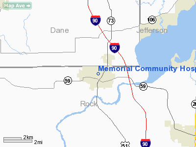
Memorial Community Hospital Heliport |
Location & QuickFacts
| FAA Information Effective: | 2008-09-25 |
| Airport Identifier: | WS37 |
| Airport Status: | Operational |
| Longitude/Latitude: | 089-04-14.9050W/42-50-24.0200N
-89.070807/42.840006 (Estimated) |
| Elevation: | 844 ft / 257.25 m (Estimated) |
| Land: | 0 acres |
| From nearest city: | 0 nautical miles N of Edgerton, WI |
| Location: | Rock County, WI |
| Magnetic Variation: | 01W (1995) |
Owner & Manager
| Ownership: | Privately owned |
| Owner: | Memorial Community Hospital |
| Address: | 313 Stoughton Road
Edgerton, WI 53534 |
| Phone number: | 608-884-3441 |
| Manager: | Mike Woodkey |
| Address: | 313 Stoughton Road
Edgerton, WI 53534 |
| Phone number: | 608-884-3441 |
Airport Operations and Facilities
| Airport Use: | Private
MEDICAL USE. |
| Wind indicator: | Yes |
| Segmented Circle: | No |
| Control Tower: | No |
| Sectional chart: | Chicago |
| Region: | AGL - Great Lakes |
| Boundary ARTCC: | ZAU - Chicago |
| Tie-in FSS: | GRB - Green Bay |
| FSS on Airport: | No |
| FSS Toll Free: | 1-800-WX-BRIEF |
Runway Information
Helipad H1
| Dimension: | 100 x 100 ft / 30.5 x 30.5 m |
| Surface: | ASPH, |
| |
Runway H1 |
Runway |
| Traffic Pattern: | Left | Left |
|
Radio Navigation Aids
| ID |
Type |
Name |
Ch |
Freq |
Var |
Dist |
| JVL | NDB | Janesville | | 375.00 | 03E | 13.6 nm |
| MS | NDB | Monah | | 400.00 | 00E | 18.0 nm |
| LVV | NDB | Lake Lawn | | 404.00 | 00W | 22.7 nm |
| RYV | NDB | Rock River | | 371.00 | 01W | 25.2 nm |
| UES | NDB | Waukesha | | 359.00 | 01W | 38.8 nm |
| UNU | NDB | Juneau | | 344.00 | 01W | 38.9 nm |
| FEP | NDB | Freeport | | 335.00 | 00E | 42.4 nm |
| HXF | NDB | Hartford | | 200.00 | 00E | 42.5 nm |
| GM | NDB | Teels | | 242.00 | 02W | 45.6 nm |
| JVL | VOR/DME | Janesville | 090X | 114.30 | 03E | 17.0 nm |
| BUU | VOR/DME | Burbun | 092X | 114.50 | 01W | 35.1 nm |
| RFD | VOR/DME | Rockford | 045X | 110.80 | 01E | 37.4 nm |
| LJT | VOR/DME | Timmerman | 072X | 112.50 | 02W | 48.3 nm |
| MSN | VORTAC | Madison | 023X | 108.60 | 03E | 21.8 nm |
| BAE | VORTAC | Badger | 111X | 116.40 | 02E | 38.4 nm |
Remarks
- PRVDD APCH/DEP 270-030 CLKWS; TREES E & NE OF HELIPORT ARE CUT BACK; AREA IS MKD; NON-OBSTRUCTIVE WIND INDICATOR IS MAINTAINED; AREA IS SECURED; FIRE PROTECTION PER LOCAL AUTHORITY AND/OR FAA AC 150/5390-2
Images and information placed above are from
http://www.airport-data.com/airport/WS37/
We thank them for the data!
| General Info
|
| Country |
United States
|
| State |
WISCONSIN
|
| FAA ID |
WS37
|
| Latitude |
42-50-24.020N
|
| Longitude |
089-04-14.905W
|
| Elevation |
844 feet
|
| Near City |
EDGERTON
|
We don't guarantee the information is fresh and accurate. The data may
be wrong or outdated.
For more up-to-date information please refer to other sources.
|
|


