|
|
| Manitowoc County Airport |
| IATA: MTW – ICAO: KMTW – FAA LID: MTW |
| Summary |
| Airport type |
Public |
| Owner/Operator |
Manitowoc County, Wisconsin |
| Location |
Manitowoc, Wisconsin |
| Elevation AMSL |
651 ft / 198.4 m |
| Coordinates |
44°7.726′N 087°40.835′W / 44.128767°N 87.680583°W / 44.128767; -87.680583Coordinates: 44°7.726′N 087°40.835′W / 44.128767°N 87.680583°W / 44.128767; -87.680583 |
| Runways |
| Direction |
Length |
Surface |
| ft |
m |
| 17/35 |
5,002 |
1,525 |
Asphalt |
| 7/25 |
3,343 |
1,019 |
Asphalt |
| Statistics (2006) |
| Operations |
36,350 |
| Based A/C |
60 |
| Stats for 12 months ending September 21, 2006 |
Manitowoc County Airport (IATA: MTW, ICAO: KMTW, FAA LID: MTW) is a public airport located Manitowoc, Wisconsin.
Facilities
- Runway 17/35 5,002 x 100 ft. (1,525 x 30 m), asphalt ILS equipped
- Runway 7/25 3,343 x 100 ft. (1,019 x 30 m), asphalt
- Manitowoc (MTW) VOR/DME is located on field.
- Lakeshore Aviation is the fixed base operator
The above content comes from Wikipedia and is published under free licenses – click here to read more.
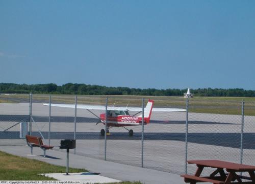
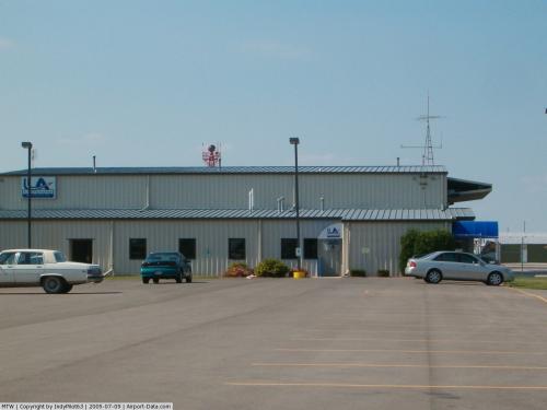
 |
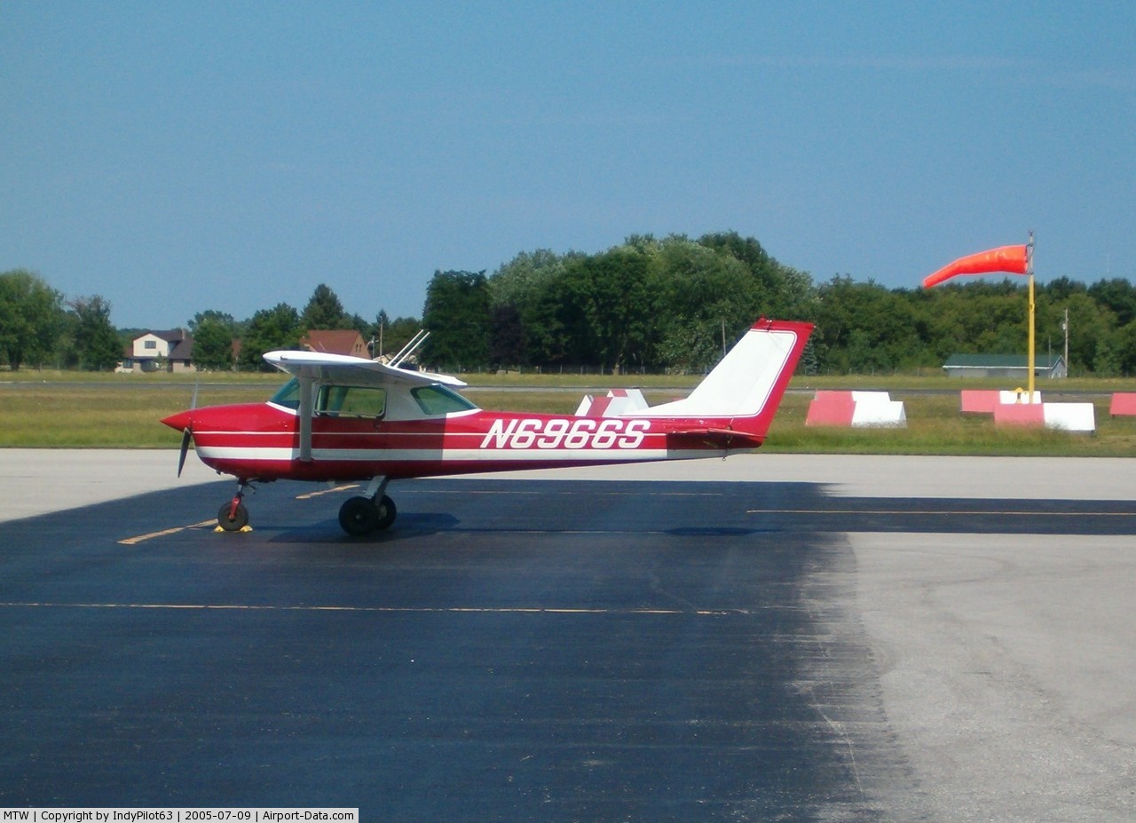
(Click on the photo to enlarge) |
 |
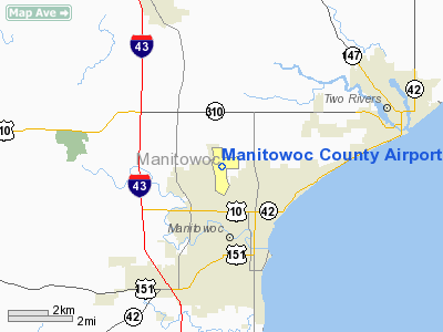
(Click on the photo to enlarge) |
 |
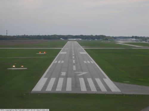
(Click on the photo to enlarge) |
 |
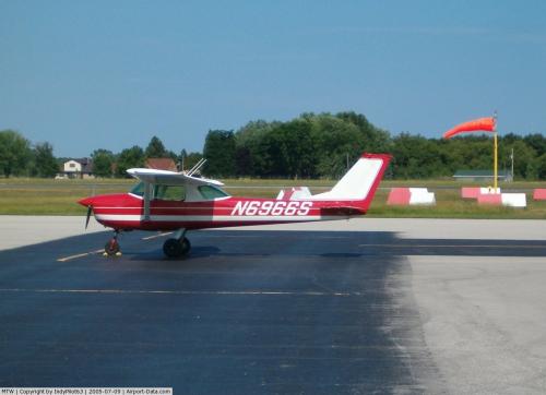
(Click on the photo to enlarge) |
Location & QuickFacts
| FAA Information Effective: | 2008-09-25 |
| Airport Identifier: | MTW |
| Airport Status: | Operational |
| Longitude/Latitude: | 087-40-50.1050W/44-07-43.5810N
-87.680585/44.128773 (Estimated) |
| Elevation: | 651 ft / 198.42 m (Surveyed) |
| Land: | 414 acres |
| From nearest city: | 2 nautical miles NW of Manitowoc, WI |
| Location: | Manitowoc County, WI |
| Magnetic Variation: | 02W (1985) |
Owner & Manager
| Ownership: | Publicly owned |
| Owner: | County Of Manitowoc |
| Address: | 1010 S 8th
Manitowoc, WI 54220 |
| Phone number: | 920-683-4594 |
| Manager: | Chuck Behnke |
| Address: | 3500 State Highway 310
Manitowoc, WI 54220 |
| Phone number: | 920-683-4351 |
Airport Operations and Facilities
| Airport Use: | Open to public |
| Wind indicator: | Yes |
| Segmented Circle: | No |
| Control Tower: | No |
| Lighting Schedule: | DUSK-DAWN
ACTVT MIRL RY 07/25 HIRL RY 17/35 REIL RY 35 & MALSR RY 17 - CTAF. |
| Beacon Color: | Clear-Green (lighted land airport) |
| Landing fee charge: | No |
| Sectional chart: | Green Bay |
| Region: | AGL - Great Lakes |
| Boundary ARTCC: | ZMP - Minneapolis |
| Tie-in FSS: | GRB - Green Bay |
| FSS on Airport: | No |
| FSS Toll Free: | 1-800-WX-BRIEF |
| NOTAMs Facility: | MTW (NOTAM-d service avaliable) |
| Federal Agreements: | NGY |
Airport Communications
| CTAF: | 122.800 |
| Unicom: | 122.800 |
Airport Services
| Fuel available: | 100LLA MOGAS |
| Airframe Repair: | MINOR |
| Power Plant Repair: | MINOR |
| Bottled Oxygen: | NONE |
| Bulk Oxygen: | NONE |
Runway Information
Runway 07/25
| Dimension: | 3343 x 100 ft / 1018.9 x 30.5 m |
| Surface: | ASPH, Fair Condition |
| Weight Limit: | Single wheel: 12000 lbs. |
| Edge Lights: | Medium |
| |
Runway 07 |
Runway 25 |
| Longitude: | 087-41-03.5160W | 087-40-20.3890W |
| Latitude: | 44-07-45.0950N | 44-07-56.2620N |
| Elevation: | 651.00 ft | 638.00 ft |
| Alignment: | 70 | 127 |
| Traffic Pattern: | Left | Left |
| Markings: | Non-precision instrument, Good Condition | Non-precision instrument, Good Condition |
| Runway End Identifier: | No | No |
| Centerline Lights: | No | No |
| Touchdown Lights: | No | No |
| Obstruction: | 56 ft tree, 1850.0 ft from runway, 50 ft right of centerline, 29:1 slope to clear | , 50:1 slope to clear |
|
Runway 17/35
| Dimension: | 5002 x 100 ft / 1524.6 x 30.5 m |
| Surface: | ASPH, |
| Weight Limit: | Single wheel: 60000 lbs. |
| Edge Lights: | High |
| |
Runway 17 |
Runway 35 |
| Longitude: | 087-41-01.5550W | 087-40-49.6290W |
| Latitude: | 44-08-03.1180N | 44-07-14.4750N |
| Elevation: | 646.00 ft | 650.00 ft |
| Alignment: | 127 | 127 |
| ILS Type: | ILS
| |
| Traffic Pattern: | Left | Left |
| Markings: | Precision instrument, Good Condition | Precision instrument, Good Condition |
| Crossing Height: | 42.00 ft | 45.00 ft |
| VASI: | 4-box on left side | 4-box on left side |
| Visual Glide Angle: | 3.00° | 3.00° |
| Approach lights: | MALSR | |
| Runway End Identifier: | | Yes
REIL OTS INDEFLY. |
| Centerline Lights: | No | No |
| Touchdown Lights: | No | No |
| Obstruction: | , 50:1 slope to clear | 66 ft tree, 2000.0 ft from runway, 350 ft left of centerline, 27:1 slope to clear |
|
Radio Navigation Aids
| ID |
Type |
Name |
Ch |
Freq |
Var |
Dist |
| SG | NDB | Depre | | 332.00 | 02W | 25.3 nm |
| AQ | NDB | Kooky | | 407.00 | 02W | 31.4 nm |
| SUE | NDB | Sturgeon Bay | | 414.00 | 03W | 44.0 nm |
| OCQ | NDB | Oconto | | 388.00 | 03W | 46.0 nm |
| LLE | NDB | Kettle Moraine | | 329.00 | 01W | 46.5 nm |
| BJB | VOR | West Bend | | 109.80 | 01W | 46.7 nm |
| FAH | VOR/DME | Falls | 37X | 110.00 | 02W | 22.8 nm |
| GRB | VORTAC | Green Bay | 102X | 115.50 | 01E | 33.8 nm |
| OSH | VORTAC | Oshkosh | 055X | 111.80 | 02E | 38.7 nm |
Remarks
- GEESE & NUMEROUS BIRDS ON & INVOF ARPT.
Images and information placed above are from
http://www.airport-data.com/airport/MTW/
We thank them for the data!
| General Info
|
| Country |
United States
|
| State |
WISCONSIN
|
| FAA ID |
MTW
|
| Latitude |
44-07-43.581N
|
| Longitude |
087-40-50.105W
|
| Elevation |
651 feet
|
| Near City |
MANITOWOC
|
We don't guarantee the information is fresh and accurate. The data may
be wrong or outdated.
For more up-to-date information please refer to other sources.
|
|