|
|
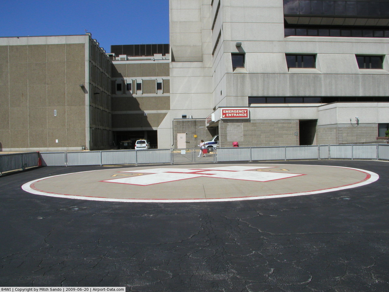
Lutheran Hospital - La Crosse Heliport |
 |
(Click on the photo to enlarge) |
 |
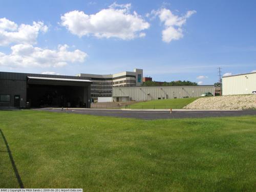
(Click on the photo to enlarge) |
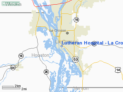
Location & QuickFacts
| FAA Information Effective: | 2008-09-25 |
| Airport Identifier: | 84WI |
| Airport Status: | Operational |
| Longitude/Latitude: | 091-14-50.4890W/43-47-34.8800N
-91.247358/43.793022 (Estimated) |
| Elevation: | 656 ft / 199.95 m (Estimated) |
| Land: | 1 acres |
| From nearest city: | 0 nautical miles N of La Crosse, WI |
| Location: | La Crosse County, WI |
| Magnetic Variation: | 02E (1985) |
Owner & Manager
| Ownership: | Privately owned |
| Owner: | Lutheran Hosp/ La Crosse Inc |
| Address: | 1910 South Avenue
La Crosse, WI 54601 |
| Phone number: | 608-785-0530 |
| Manager: | Donald B. Smith
SENIOR VICE-PRESIDENT. |
| Address: | 1910 South Avenue
La Crosse, WI 54601 |
| Phone number: | 608-785-0530
EXT 3264 |
Airport Operations and Facilities
| Airport Use: | Private
MEDICAL USE. |
| Wind indicator: | Yes |
| Segmented Circle: | No |
| Control Tower: | No |
| Landing fee charge: | No |
| Sectional chart: | Chicago |
| Region: | AGL - Great Lakes |
| Boundary ARTCC: | ZMP - Minneapolis |
| Tie-in FSS: | GRB - Green Bay |
| FSS on Airport: | No |
| FSS Toll Free: | 1-800-WX-BRIEF |
Runway Information
Helipad H1
| Dimension: | 50 x 50 ft / 15.2 x 15.2 m |
| Surface: | CONC, |
| |
Runway H1 |
Runway |
| Traffic Pattern: | Left | Left |
| Markings: | Basic, | , |
|
Radio Navigation Aids
| ID |
Type |
Name |
Ch |
Freq |
Var |
Dist |
| CHU | NDB | Caledonia | | 209.00 | 03E | 16.3 nm |
| CMY | NDB | Mccoy | | 412.00 | 00E | 27.6 nm |
| BCK | NDB | Black River Falls | | 362.00 | 00E | 32.7 nm |
| DEH | NDB | Decorah | | 236.00 | 01E | 37.7 nm |
| HBW | NDB | Kickapoo | | 251.00 | 03E | 40.6 nm |
| CJJ | NDB | Cresco | | 293.00 | 02E | 46.3 nm |
| VOK | TACAN | Volk | 041X | | 00E | 43.8 nm |
| LSE | VOR/DME | La Crosse | 021X | 108.40 | 02E | 5.0 nm |
| ONA | VOR/DME | Winona | 051X | 111.40 | 01E | 26.1 nm |
| ODI | VORTAC | Nodine | 126X | 117.90 | 01E | 11.9 nm |
| UKN | VORTAC | Waukon | 113X | 116.60 | 05E | 33.3 nm |
Remarks
- PROVIDED ALL APPROACH/DEPARTURE ROUTE OPERATIONS ARE CONDUCTED IN AN AREA FROM 090 DEGS CLOCKWISE TO 245 DEGS USING THE TOUCHDOWN PAD AS THE CENTER OF A COMPASS ROSE; TAKEOFF/LANDING AREA IS APPROPRIATELY MARKED; NON-OBSTRUCTING WIND INDICATOR IS MAINTAINED ADJACENT TO PAD.
Images and information placed above are from
http://www.airport-data.com/airport/84WI/
We thank them for the data!
| General Info
|
| Country |
United States
|
| State |
WISCONSIN
|
| FAA ID |
84WI
|
| Latitude |
43-47-34.880N
|
| Longitude |
091-14-50.489W
|
| Elevation |
656 feet
|
| Near City |
LA CROSSE
|
We don't guarantee the information is fresh and accurate. The data may
be wrong or outdated.
For more up-to-date information please refer to other sources.
|
|