 |
|
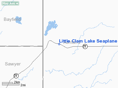
Little Clam Lake Seaplane Base Airport |
Location & QuickFacts
| FAA Information Effective: | 2008-09-25 |
| Airport Identifier: | 7WI1 |
| Airport Status: | Operational |
| Longitude/Latitude: | 090-53-03.6540W/46-09-30.8310N
-90.884348/46.158564 (Estimated) |
| Elevation: | 1456 ft / 443.79 m (Surveyed) |
| Land: | 60 acres |
| From nearest city: | 1 nautical miles SE of Clam Lake, WI |
| Location: | Ashland County, WI |
| Magnetic Variation: | 01E (1985) |
Owner & Manager
| Ownership: | Privately owned |
| Owner: | Donald J. Vecchie |
| Address: | Po Box 11
Clam Lake, WI 54517 |
| Phone number: | 715-794-2592 |
| Manager: | Donald J. Vecchie |
| Address: | Po Box 11
Clam Lake, WI 54517 |
| Phone number: | 715-794-2592 |
Airport Operations and Facilities
| Airport Use: | Private
PERSONAL. |
| Segmented Circle: | No |
| Control Tower: | No |
| Sectional chart: | Green Bay |
| Region: | AGL - Great Lakes |
| Boundary ARTCC: | ZMP - Minneapolis |
| Tie-in FSS: | GRB - Green Bay |
| FSS Toll Free: | 1-800-WX-BRIEF |
Runway Information
Runway 03W/21W
| Dimension: | 3500 x 150 ft / 1066.8 x 45.7 m |
| Surface: | WATER, |
| |
Runway 03W |
Runway 21W |
| Traffic Pattern: | Left | Left |
| Obstruction: | 20 ft road, 200.0 ft from runway | 100 ft trees, 100.0 ft from runway |
|
Radio Navigation Aids
| ID |
Type |
Name |
Ch |
Freq |
Var |
Dist |
| SLY | NDB | Seeley | | 344.00 | 01E | 21.0 nm |
| PKF | NDB | Park Falls | | 371.00 | 01W | 22.8 nm |
| ENY | NDB | Kennedy | | 254.00 | 02E | 23.7 nm |
| PBH | NDB | Phillips | | 263.00 | 00E | 33.8 nm |
| RCX | NDB | Rusk County | | 356.00 | 00W | 39.8 nm |
| OLG | NDB | Solon Springs | | 388.00 | 01E | 39.8 nm |
| MHA | NDB | Manitowish | | 364.00 | 01W | 41.8 nm |
| ASX | VOR/DME | Ashland | 039X | 110.20 | 02E | 23.5 nm |
| HYR | VOR/DME | Hayward | 081X | 113.40 | 03E | 24.9 nm |
| IWD | VORTAC | Ironwood | 025X | 108.80 | 01E | 38.7 nm |
Images and information placed above are from
http://www.airport-data.com/airport/7WI1/
We thank them for the data!
| General Info
|
| Country |
United States
|
| State |
WISCONSIN
|
| FAA ID |
7WI1
|
| Latitude |
46-09-30.831N
|
| Longitude |
090-53-03.654W
|
| Elevation |
1456 feet
|
| Near City |
CLAM LAKE
|
We don't guarantee the information is fresh and accurate. The data may
be wrong or outdated.
For more up-to-date information please refer to other sources.
|
|


