 |
|
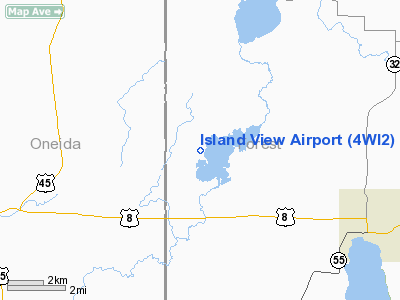
Location & QuickFacts
| FAA Information Effective: | 2008-09-25 |
| Airport Identifier: | 4WI2 |
| Airport Status: | Operational |
| Longitude/Latitude: | 089-01-17.4240W/45-36-21.8590N
-89.021507/45.606072 (Estimated) |
| Elevation: | 1640 ft / 499.87 m (Estimated) |
| Land: | 0 acres |
| From nearest city: | 5 nautical miles NW of Crandon, WI |
| Location: | Forest County, WI |
| Magnetic Variation: | 01W (1985) |
Owner & Manager
| Ownership: | Privately owned |
| Owner: | Rolland W Yocum |
| Address: | Rt 2, Box 1109
Crandon, WI 54520 |
| Phone number: | 715-478-3343 |
| Address: |
|
| Phone number: | 715-478-2325 |
Airport Operations and Facilities
| Airport Use: | Private |
| Wind indicator: | No |
| Segmented Circle: | No |
| Control Tower: | No |
| Landing fee charge: | No |
| Sectional chart: | Green Bay |
| Region: | AGL - Great Lakes |
| Boundary ARTCC: | ZMP - Minneapolis |
| Tie-in FSS: | GRB - Green Bay |
| FSS on Airport: | No |
| FSS Toll Free: | 1-800-WX-BRIEF |
Airport Services
| Airframe Repair: | NONE |
| Power Plant Repair: | NONE |
Runway Information
Runway 09/27
| Dimension: | 900 x 70 ft / 274.3 x 21.3 m |
| Surface: | TURF, |
| |
Runway 09 |
Runway 27 |
| Traffic Pattern: | Left | Left |
|
Runway 18/36
| Dimension: | 2300 x 70 ft / 701.0 x 21.3 m |
| Surface: | TURF, |
| |
Runway 18 |
Runway 36 |
| Traffic Pattern: | Left | Left |
|
Radio Navigation Aids
| ID |
Type |
Name |
Ch |
Freq |
Var |
Dist |
| EGV | NDB | Eagle River | | 341.00 | 02W | 22.1 nm |
| AIG | NDB | Antigo | | 347.00 | 02W | 27.2 nm |
| DO | NDB | Dougy | | 236.00 | 01W | 32.8 nm |
| LNL | NDB | Land O Lakes | | 396.00 | 02W | 33.6 nm |
| ARV | NDB | Arbor Vitae | | 221.00 | 01W | 35.4 nm |
| RRL | NDB | Merrill | | 257.00 | 01W | 37.8 nm |
| BDJ | NDB | Boulder Junction | | 206.00 | 02E | 41.4 nm |
| RXW | NDB | Watersmeet | | 407.00 | 01E | 42.4 nm |
| MHA | NDB | Manitowish | | 364.00 | 01W | 47.6 nm |
| FZK | NDB | Wausau | | 243.00 | 01E | 48.1 nm |
| IMT | VOR/DME | Iron Mountain | 049X | 111.20 | 02W | 40.2 nm |
| RHI | VORTAC | Rhinelander | 029X | 109.20 | 02E | 18.4 nm |
Remarks
- ONLY SKI EQUIPPED ACFT IN WINTER MONTHS.
- OWNER INDICATES PILOTS LAND AT OWN RISK.
Images and information placed above are from
http://www.airport-data.com/airport/4WI2/
We thank them for the data!
| General Info
|
| Country |
United States
|
| State |
WISCONSIN
|
| FAA ID |
4WI2
|
| Latitude |
45-36-21.859N
|
| Longitude |
089-01-17.424W
|
| Elevation |
1640 feet
|
| Near City |
CRANDON
|
We don't guarantee the information is fresh and accurate. The data may
be wrong or outdated.
For more up-to-date information please refer to other sources.
|
|


