|
|
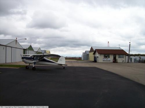 |
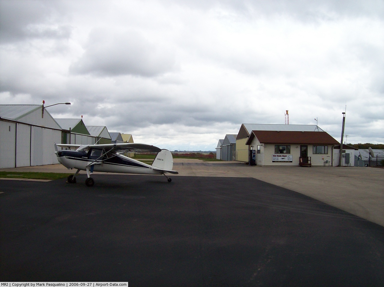
(Click on the photo to enlarge) |
Location & QuickFacts
| FAA Information Effective: | 2008-09-25 |
| Airport Identifier: | MRJ |
| Airport Status: | Operational |
| Longitude/Latitude: | 090-14-10.4700W/42-53-12.6400N
-90.236242/42.886844 (Estimated) |
| Elevation: | 1171 ft / 356.92 m (Surveyed) |
| Land: | 244 acres |
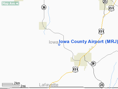
| From nearest city: | 3 nautical miles NW of Mineral Point, WI |
| Location: | Iowa County, WI |
| Magnetic Variation: | 01E (1985) |
Owner & Manager
| Ownership: | Publicly owned |
| Owner: | Iowa County |
| Address: | 222 N. Iowa Street
Dodgeville, WI 53533 |
| Phone number: | 608-987-9931 |
| Manager: | Kevin King |
| Address: | 3151 Sth 39
Mineral Point, WI 53565 |
| Phone number: | 608-987-9931 |
Airport Operations and Facilities
| Airport Use: | Open to public |
| Wind indicator: | Yes |
| Segmented Circle: | No |
| Control Tower: | No |
| Lighting Schedule: | DUSK-DAWN
MIRL RYS 04/22 & 11/29 PRESET ON LOW INTST, TO INCR INTST & ACTVT VASI RY 22, PAPI & REIL RYS 11 & 29 - CTAF |
| Beacon Color: | Clear-Green (lighted land airport) |
| Landing fee charge: | No |
| Sectional chart: | Chicago |
| Region: | AGL - Great Lakes |
| Boundary ARTCC: | ZAU - Chicago |
| Tie-in FSS: | GRB - Green Bay |
| FSS on Airport: | No |
| FSS Toll Free: | 1-800-WX-BRIEF |
| NOTAMs Facility: | MRJ (NOTAM-d service avaliable) |
| Federal Agreements: | NGY |
Airport Communications
| CTAF: | 122.800 |
| Unicom: | 122.800 |
Airport Services
| Fuel available: | 100LLA
FUEL AVBL 24 HR SELF SVC. |
| Airframe Repair: | MAJOR |
| Power Plant Repair: | MAJOR |
| Bottled Oxygen: | NONE |
| Bulk Oxygen: | NONE |
Runway Information
Runway 04/22
| Dimension: | 3601 x 60 ft / 1097.6 x 18.3 m |
| Surface: | ASPH, Good Condition |
| Weight Limit: | Single wheel: 12500 lbs. |
| Edge Lights: | Medium |
| |
Runway 04 |
Runway 22 |
| Longitude: | 090-14-10.0300W | 090-13-38.7900W |
| Latitude: | 42-52-53.7400N | 42-53-20.8800N |
| Elevation: | 1164.00 ft | 1171.00 ft |
| Alignment: | 40 | 127 |
| Traffic Pattern: | Left | Left |
| Markings: | Non-precision instrument, Good Condition | Non-precision instrument, Good Condition |
| Crossing Height: | 0.00 ft | 35.00 ft |
| VASI: | | 2-box on left side
OTS INDEFLY. |
| Visual Glide Angle: | 0.00° | 3.00° |
| Obstruction: | 5 ft road, 290.0 ft from runway, 260 ft right of centerline, 18:1 slope to clear | , 50:1 slope to clear |
|
Runway 11/29
| Dimension: | 5000 x 75 ft / 1524.0 x 22.9 m |
| Surface: | ASPH, Good Condition |
| Edge Lights: | Medium |
| |
Runway 11 |
Runway 29 |
| Longitude: | 090-14-53.4170W | 090-13-50.6390W |
| Latitude: | 42-53-25.2420N | 42-53-07.7090N |
| Elevation: | 1129.00 ft | 1162.00 ft |
| Alignment: | 110 | 127 |
| Traffic Pattern: | Left | Left |
| Markings: | Non-precision instrument, Good Condition | Non-precision instrument, Good Condition |
| Crossing Height: | 40.00 ft | 40.00 ft |
| VASI: | 2-light PAPI on left side | 2-light PAPI on left side |
| Visual Glide Angle: | 3.00° | 3.00° |
| Runway End Identifier: | Yes | Yes |
|
Radio Navigation Aids
| ID |
Type |
Name |
Ch |
Freq |
Var |
Dist |
| MRJ | NDB | Mineral Point | | 365.00 | 00W | 0.4 nm |
| PVB | NDB | Platteville | | 203.00 | 01E | 14.9 nm |
| MS | NDB | Monah | | 400.00 | 00E | 40.6 nm |
| HBW | NDB | Kickapoo | | 251.00 | 03E | 46.4 nm |
| FEP | NDB | Freeport | | 335.00 | 00E | 48.1 nm |
| LNR | VOR/DME | Lone Rock | 075X | 112.80 | 00E | 24.9 nm |
| DBQ | VORTAC | Dubuque | 105X | 115.80 | 04E | 35.9 nm |
| MSN | VORTAC | Madison | 023X | 108.60 | 03E | 42.3 nm |
| DLL | VORTAC | Dells | 117X | 117.00 | 03E | 45.0 nm |
Remarks
- GCO AVBL ON FREQ 121.725 THRU FLT SVCS.
- (RWY END SOURCE, RWY 11) STATE OF WISCONSIN DOT.
- (RWY END SOURCE, RWY 29) STATE OF WISCONSIN DOT.
- (TDZ ELEV SOURCE, RWY 11) STATE OF WISCONSIN DOT.
- (TDZ ELEV SOURCE, RWY 29) STATE OF WISCONSIN DOT.
- BIRDS ON & INVOF ARPT.
- BE ALERT: ACFT TAXIING ON RYS 04/22 & 11/29.
- FOR NOISE ABATEMENT PREFERED NO WIND RY IS RY 29.
- FOR SVC INFORMATION CALL 608-987-9931/608-574-2294.
- (RWY END ELEV SOURCE, RWY 11) STATE OF WISCONSIN DOT.
- (RWY END ELEV SOURCE, RWY 29) STATE OF WISCONSIN DOT.
Images and information placed above are from
http://www.airport-data.com/airport/MRJ/
We thank them for the data!
| General Info
|
| Country |
United States
|
| State |
WISCONSIN
|
| FAA ID |
MRJ
|
| Latitude |
42-53-12.640N
|
| Longitude |
090-14-10.470W
|
| Elevation |
1171 feet
|
| Near City |
MINERAL POINT
|
We don't guarantee the information is fresh and accurate. The data may
be wrong or outdated.
For more up-to-date information please refer to other sources.
|
|