 |
|
Location & QuickFacts
| FAA Information Effective: | 2008-09-25 |
| Airport Identifier: | WI64 |
| Airport Status: | Operational |
| Longitude/Latitude: | 089-08-10.3990W/44-30-24.9210N
-89.136222/44.506923 (Estimated) |
| Elevation: | 995 ft / 303.28 m (Estimated) |
| Land: | 0 acres |
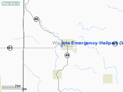
| From nearest city: | 0 nautical miles N of Iola, WI |
| Location: | Waupaca County, WI |
| Magnetic Variation: | 00W (1985) |
Owner & Manager
| Ownership: | Privately owned |
| Owner: | Iola & Rural Fire Dept |
| Address: | P.o. Box 322
Iola, WI 54945 |
| Phone number: | 715-445-2515 |
| Manager: | Charles Fritz |
| Address: | P.o. Box 322
Iola, WI 54945 |
| Phone number: | 715-445-3740 |
Airport Operations and Facilities
| Airport Use: | Private
MEDICAL. |
| Wind indicator: | Yes |
| Segmented Circle: | No |
| Control Tower: | No |
| Sectional chart: | Green Bay |
| Region: | AGL - Great Lakes |
| Boundary ARTCC: | ZMP - Minneapolis |
| Tie-in FSS: | GRB - Green Bay |
| FSS Toll Free: | 1-800-WX-BRIEF |
Runway Information
Helipad H1
| Dimension: | 60 x 60 ft / 18.3 x 18.3 m |
| Surface: | ASPH, Good Condition |
| |
Runway H1 |
Runway |
| Traffic Pattern: | Left | Left |
|
Radio Navigation Aids
| ID |
Type |
Name |
Ch |
Freq |
Var |
Dist |
| PCZ | NDB | Waupaca | | 382.00 | 01W | 11.7 nm |
| CLI | NDB | Clintonville | | 209.00 | 02W | 18.5 nm |
| ISW | NDB | Wisconsin Rapids | | 215.00 | 01W | 31.4 nm |
| FZK | NDB | Wausau | | 243.00 | 01E | 32.8 nm |
| AQ | NDB | Kooky | | 407.00 | 02W | 36.2 nm |
| AIG | NDB | Antigo | | 347.00 | 02W | 39.2 nm |
| SG | NDB | Depre | | 332.00 | 02W | 43.5 nm |
| MFI | NDB | Marshfield | | 391.00 | 00E | 45.7 nm |
| RRL | NDB | Merrill | | 257.00 | 01W | 48.1 nm |
| STE | VORTAC | Stevens Point | 043X | 110.60 | 01W | 17.0 nm |
| AUW | VORTAC | Wausau | 053X | 111.60 | 02E | 28.1 nm |
| OSH | VORTAC | Oshkosh | 055X | 111.80 | 02E | 39.9 nm |
| GRB | VORTAC | Green Bay | 102X | 115.50 | 01E | 40.4 nm |
Remarks
- PROVIDED INGRESS/EGRESS FROM 270 TO 120.
Images and information placed above are from
http://www.airport-data.com/airport/WI64/
We thank them for the data!
| General Info
|
| Country |
United States
|
| State |
WISCONSIN
|
| FAA ID |
WI64
|
| Latitude |
44-30-24.921N
|
| Longitude |
089-08-10.399W
|
| Elevation |
995 feet
|
| Near City |
IOLA
|
We don't guarantee the information is fresh and accurate. The data may
be wrong or outdated.
For more up-to-date information please refer to other sources.
|
|


